
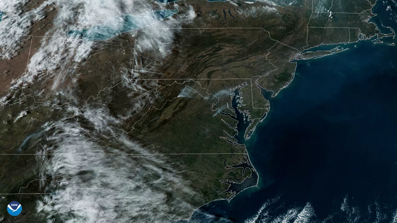
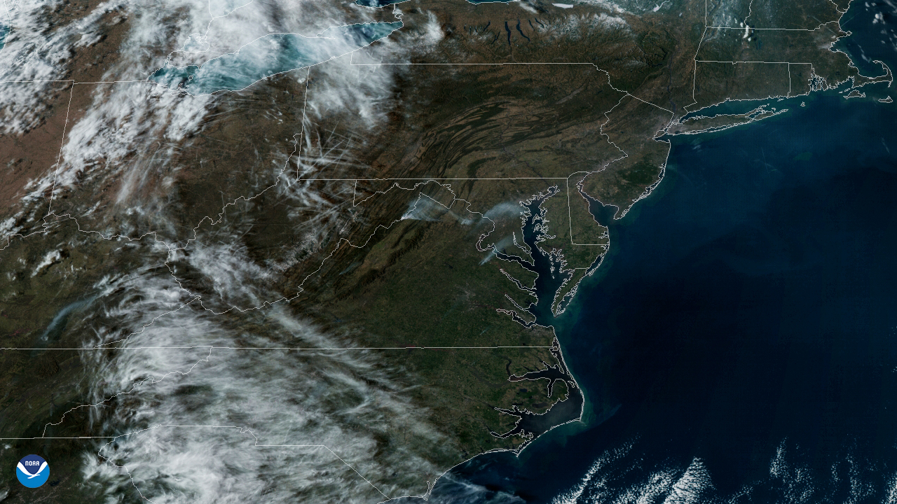
On March 8, 2020, the GOES-East satellite viewed the Washington, D.C. metro area as haziness covered the region from a prescribed burn in Virginia. While the day otherwise had clear skies, the fire caused smoke that could be seen and smelled as far away as Washington, D.C. and northern Maryland due to a southernly wind of 15 mph that carried it across the District and state lines. According to the Arlington Fire Department (AFD), the Marine Corps Base-Quantico Fire Department scheduled the fire to take place on that day and were working with full knowledge of AFD, adding: “We are monitoring the situation and will advise of any changes.”
Prescribed burns , according to the U.S. Forest Service , “refer to the controlled application of fire by a team of fire experts under specified weather conditions,” usually taking place in late winter to early spring. Also known as controlled burns or prescribed fires, they function as a means to restore or maintain the health to woodland ecosystems that depend on fire. Moreover, prescribed burns greatly reduce the likelihood of uncontrolled wildfires erupting. These burns take place all over the country and have increased partly due to the current administration’s approval and dissemination of 2018’s Fire Funding Fix Omnibus for the U.S’s wooded areas.
The GOES-East geostationary satellite, also known as GOES-16, keeps watch over most of North America, including the continental United States and Mexico, as well as Central and South America, the Caribbean, and the Atlantic Ocean to the west coast of Africa. The satellite's high-resolution imagery provides optimal viewing of severe weather events, including thunderstorms, tropical storms, and hurricanes.