
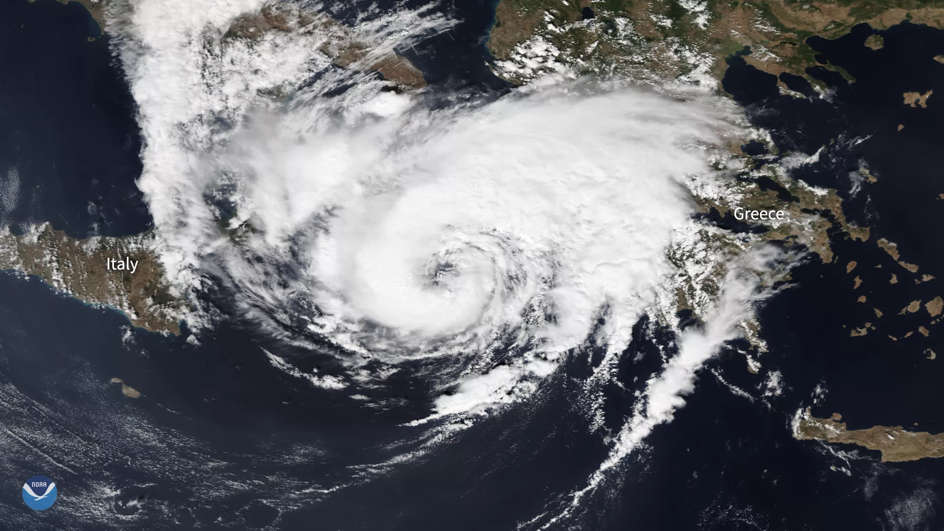
On Sept 17, 2020, the NOAA-20 satellite zoomed in on a rare Mediterranean hurricane-like storm, known as a “medicane” as it approached western Greece. The storm, named Ianos, made landfall over the Greek island of Kefalonia early Friday, Sept. 18 and is bringing high winds and heavy rain to the other Ionian Islands and the Greek mainland, according to the World Meteorological Organization. The U.K. Met Office says the storm has halted , but should slowly move to the south over the next 24–36 hours.
Just prior to landfall, Ianos had sustained wind speeds of 62 mph, making it the equivalent of a strong tropical storm in the Atlantic. It has caused considerable property damage as well as flooding and power loss in some coastal areas, but so far there have been no reports of injuries or deaths.
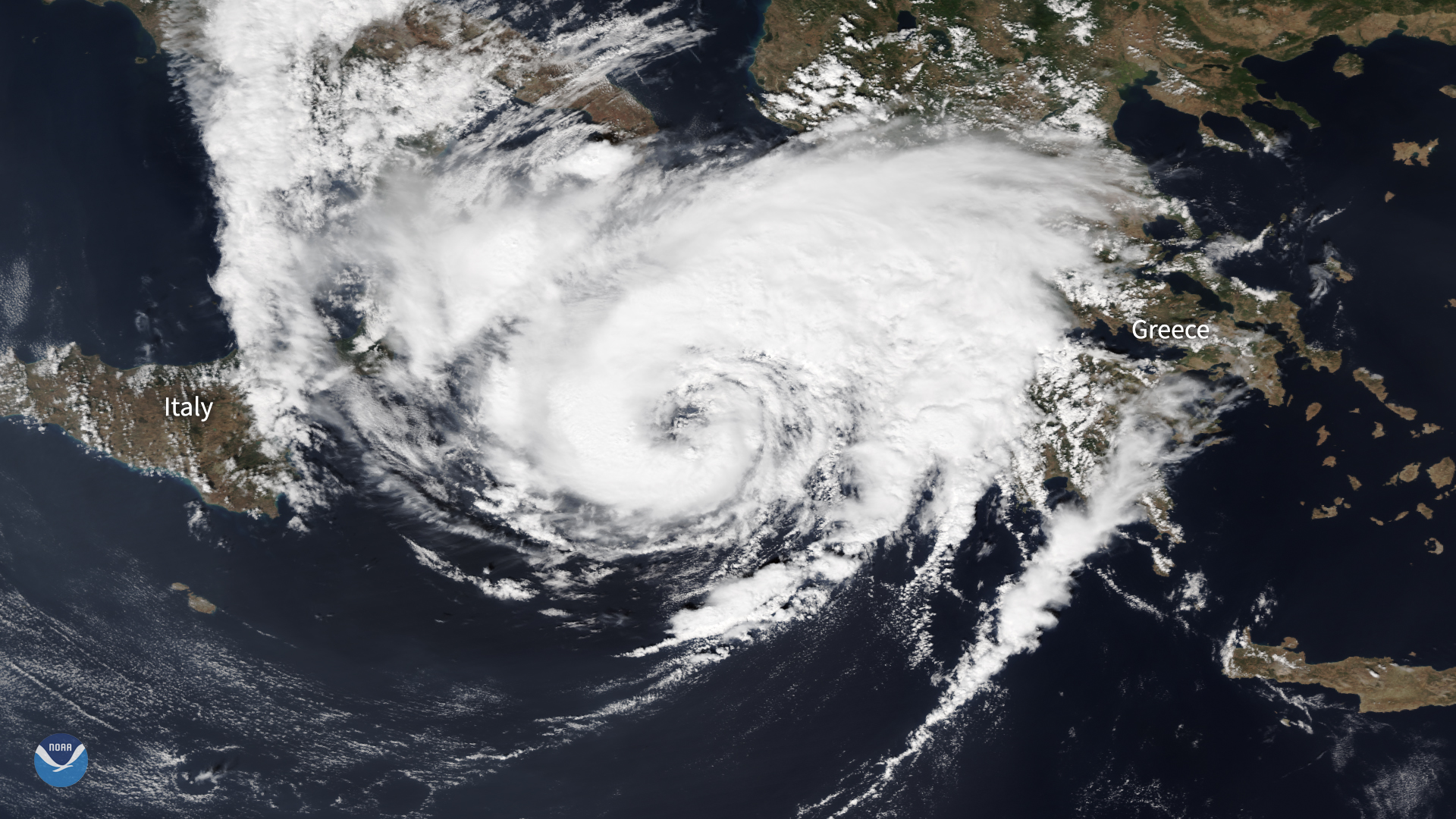
Here is another view of the storm , captured by EUMETSAT’s Meteosat-11 satellite.
Medicanes are similar to tropical cyclones such as hurricanes and typhoons, but tend to move from west to east rather than east to west. The peak strength of a medicane tends to be around the equivalent of a Category-1 hurricane on the Saffir-Simpson Hurricane Wind Scale. On average, only 1–2 of these storms form each year, and Ianos may potentially be one of the strongest medicanes on record.
This image was captured by the NOAA-20 satellite's VIIRS instrument , which scans the entire Earth twice per day at a 750-meter resolution. Multiple visible and infrared channels allow it to detect atmospheric aerosols, such as dust, smoke and haze associated with industrial pollution and fires. The polar-orbiting satellite circles the globe 14 times daily and captures a complete daytime view of our planet once every 24 hours.