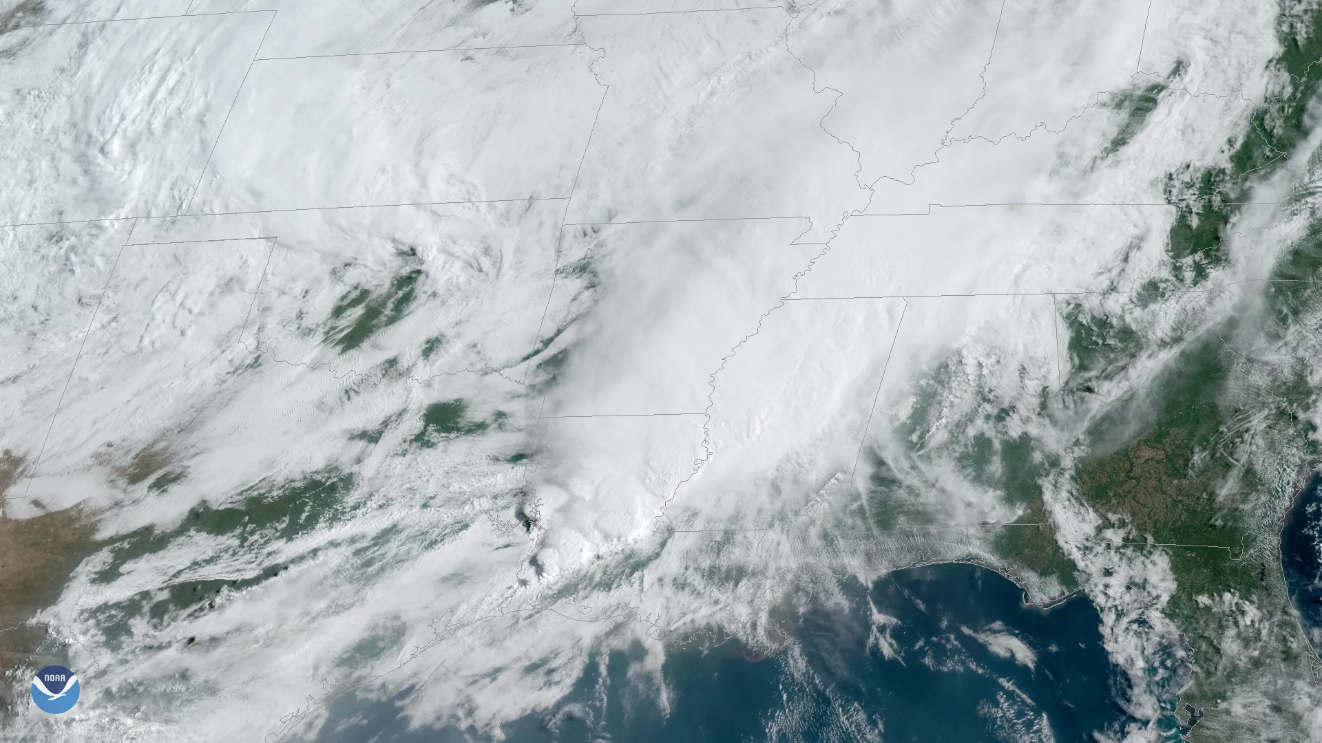
Much of Louisiana and eastern Texas are at risk for flash flooding as several rounds of thunderstorms, seen here by GOES East at 10 a.m. ET on May 9, 2019, bring more heavy rain to the already waterlogged region. Rainfall amounts of 5 to 10 inches are possible “from southeast Texas into portions of Arkansas, Louisiana and Mississippi through the weekend with locally higher amounts approaching a foot,” according to the National Weather Service.
The National Weather Service’s Storm Prediction Center issued flash flood watches stretching from southeastern Texas into northern and western Louisana, and parts of southern Arkansas. Those in the path of these storms are reminded to never walk or drive into floodwaters. It only takes 6 inches of fast-moving flood water to knock over an adult and 12 inches to carry away most cars.
More than 300 river and spring gauges from the Great Plains to the Mississippi River have reported minor to major flooding. You can take a look at the long-range river flood risk in your area by clicking here.
The GOES East geostationary satellite, also known as GOES-16, provides coverage of the Western Hemisphere, including the United States, the Atlantic Ocean and the eastern Pacific. The satellite's high-resolution Advanced Baseline Imager provides optimal viewing of severe weather events, including thunderstorms, tropical storms and hurricanes.