
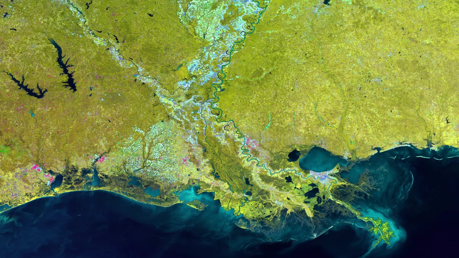
The Mississippi River Delta, the largest in the U.S., is a melange of the rivershed and its associated river and streambeds, farmland, urbanized areas, lakes, and estuaries. These disparate land types, all with different thermal signatures, create a complex of shades of green and blue in this multispectral RGB imagery from the Suomi NPP satellite’s VIIRS sensor. Taken on October 8, 2016, using the SVI bands 4, 2, and 1, the plumes of sediment and coastal phytoplankton can also be seen along the shores of the Gulf of Mexico.