
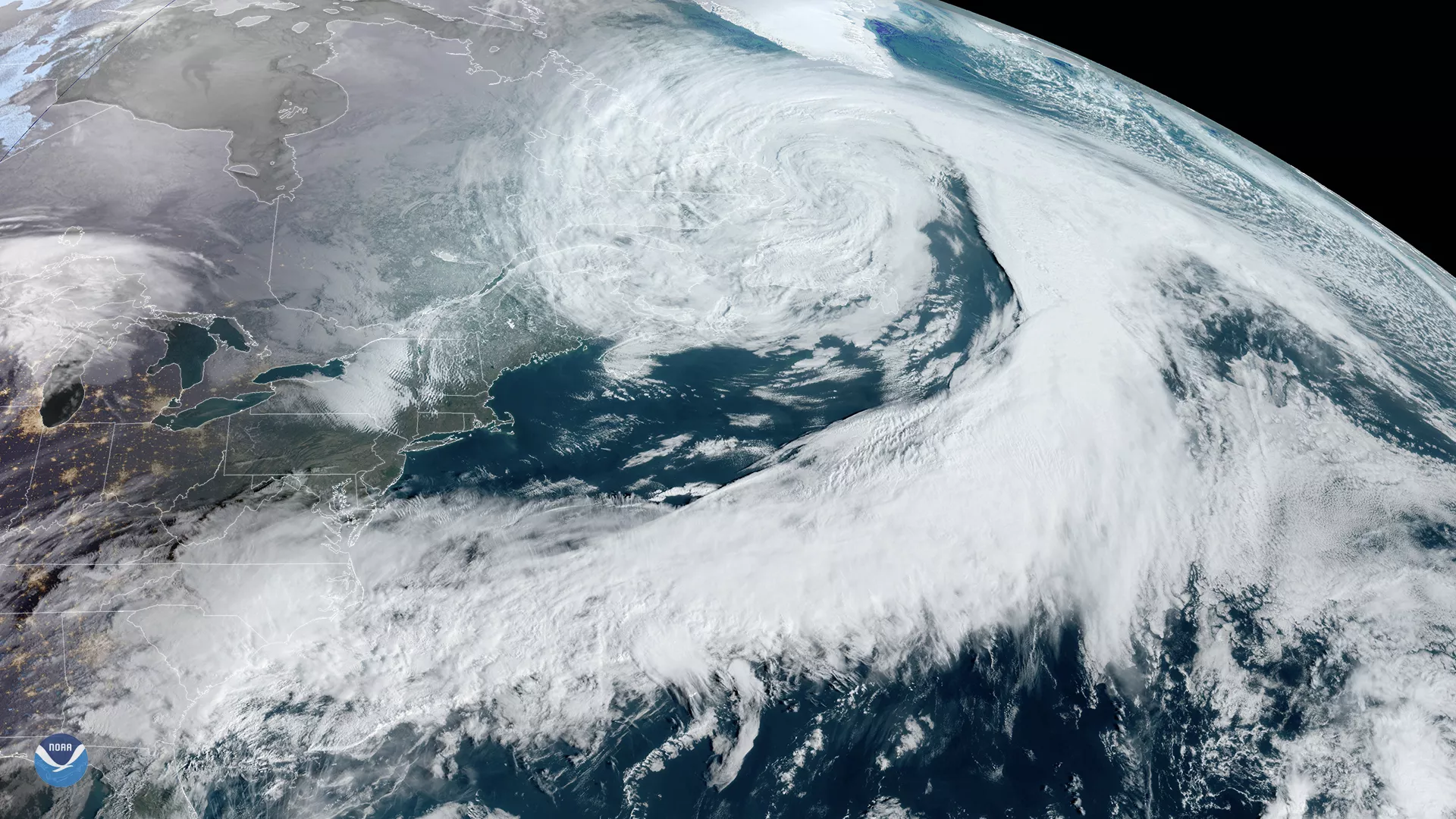
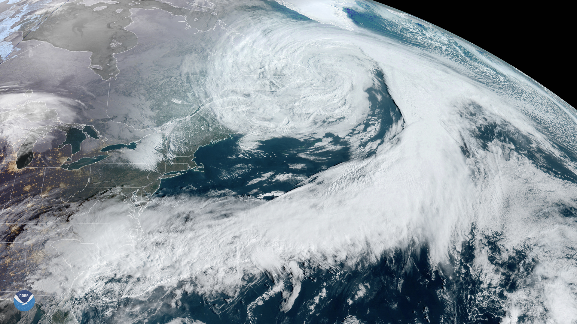
On March 5, 2020, the GOES-East satellite zoomed in on a large low-pressure system centered over eastern Canada, trailing a cold front stretching all the way down to the Gulf of Mexico. According to a tweet by the National Weather Service (NWS) Ocean Prediction Center, an analysis of wind and waves found some up to 27 feet as a result of the storm force low.
This system is bringing high winds (23-35 mph) off the coast of New England, and is expected to bring damaging winds and large waves to Ireland, Scoland, and France by this weekend as it moves across the North Atlantic.
To the south , another low-pressure system is expected to develop over the Gulf of Mexico, strengthen, and then move northeastward today and tomorrow. As it does so, more thunderstorms are possible around northern Florida, Georgia, and Alabama, which may potentially bring more damaging wind, localized flooding, and even isolated tornadoes. Offshore storm warnings are currently in place as well as a hurricane-force wind warning well off the coast of the Mid-Atlantic through Massachusetts for Friday night into Saturday.
The GOES-East geostationary satellite, also known as GOES-16, keeps watch over most of North America, including the continental United States and Mexico, as well as Central and South America, the Caribbean, and the Atlantic Ocean to the west coast of Africa. The satellite's high-resolution imagery provides optimal viewing of severe weather events, including thunderstorms, tropical storms, and hurricanes.