
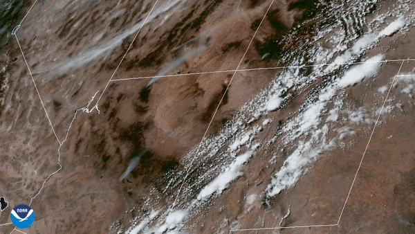
On June 14, 2020, the GOES-East satellite focused its Advanced Baseline Imager on wildfires in the four corners region of the western United States. You can see the grayish-white smoke plumes in this Geocolor imagery as bright white clouds stream northeastward from showers and thunderstorms developing in New Mexico. In this image loop, three fires can be easily seen burning in Arizona.
The Mangum Fire in Northern Arizona, near the north rim of the Grand Canyon, has consumed more than 46 square miles, and forced evacuations in Jacob Lake, Arizona. According to the incident report, the fire doubled in size over the weekend and as of today, is only 3% contained.
Roughly 200 miles south, the Bush Fire (the largest currently in the state), has also spurred evacuations in the Punkin Center and Tonto Basin communities, while residents of Sunflower and Jakes Corner were told to prepare for possible evacuations. Having already consumed 59 square miles, crews have not been able to contain the blaze. “The danger in these areas is imminent and life threatening,” said the Gila County Sheriff’s Office.
Additionally, residents near the Bighorn Fire in southern Arizona north of Tucson were also warned to be ready to evacuate as the flames moved toward Mt. Lemmon and Mt. Bigelow. The fire has burned close to 23 square miles and is currently 30% contained.
The GOES-East geostationary satellite, also known as GOES-16, keeps watch over most of North America, including the continental United States and Mexico, as well as Central and South America, the Caribbean, and the Atlantic Ocean to the west coast of Africa. The satellite's high-resolution imagery provides optimal viewing of severe weather events, including thunderstorms, tropical storms, hurricanes, fires, and more.