

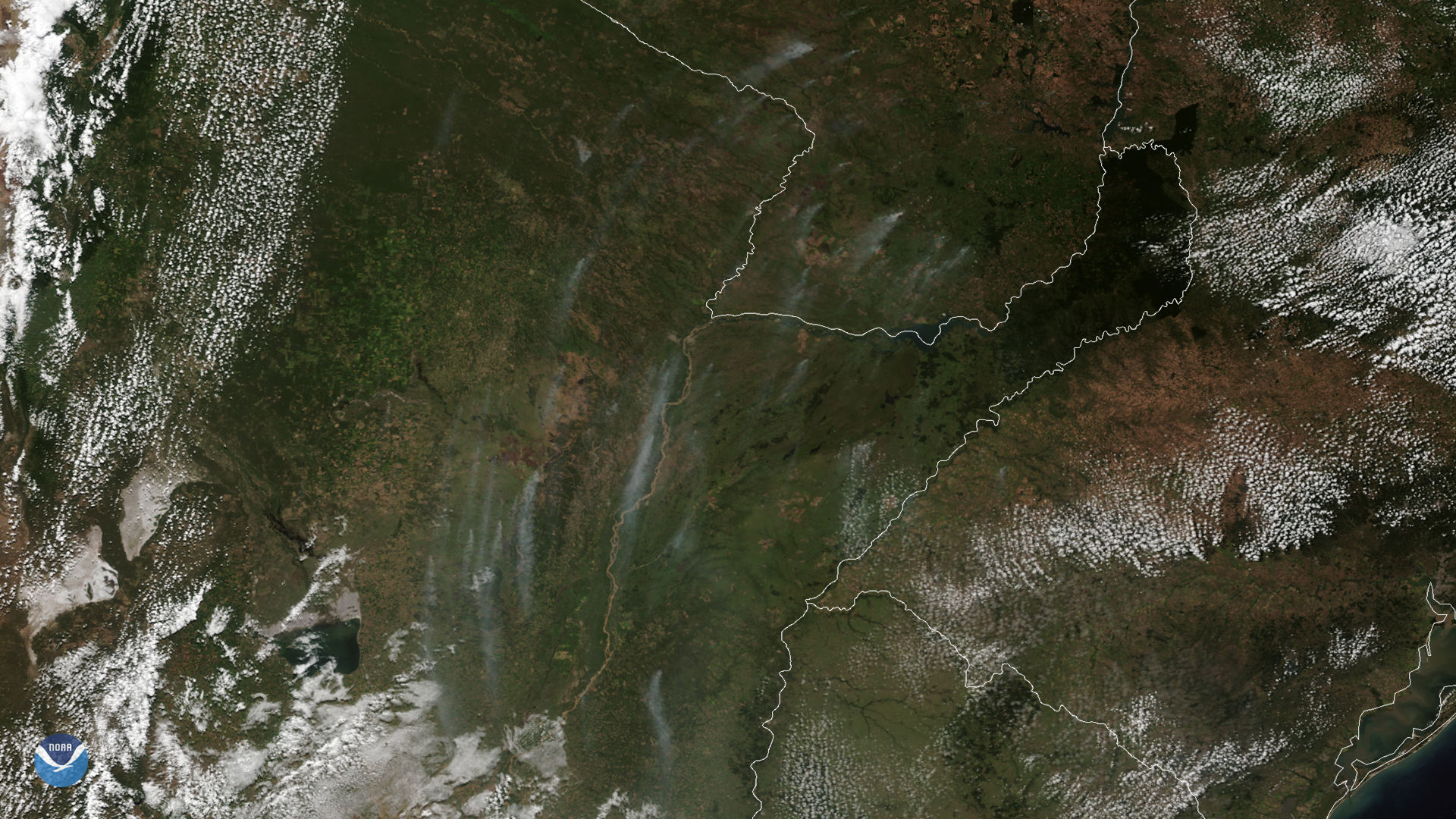
On March 24, 2020, NOAA’s GOES-East satellite zoomed in on wispy smoke plumes from fires burning in Argentina and Paraguay. These vast, lush plains to the east of the dry, rocky Andes Mountains are extensively used for agriculture , and the fires were likely set by farmers to clear land or by ranchers to improve the quality of forage. However, natural wildfires are relatively common as well.
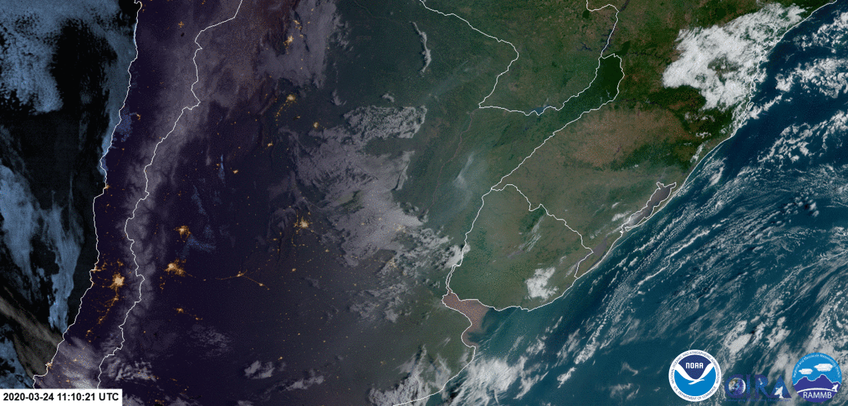
Image loop of the smoke plumes, taken by the GOES-East satellite on March 24, 2020.
In this image, two natural regions, known as “ Las Pampas ” and el " Gran Chaco ,” converge. Las Pampas are fertile grasslands that span from the Argentine provinces of Buenos Aires, La Pampa, Santa Fe, Entre Ríos, and Córdoba. Many crops, vineyards, and cattle ranches prosper here.
To the north is El Gran Chaco, an arid lowland alluvial plain with low shrubby forests, savannas, and swamps, that reaches up through Paraguay and Bolivia. Largely uninhabited, only certain crops can be grown here, such as cotton. Quebracho trees , known for being extremely durable and a source of tannin used to cure leather, also thrive here, though their numbers are dwindling due to overharvesting.
This image was captured by the NOAA-20 satellite's VIIRS instrument , which scans the entire Earth twice per day at a 750-meter resolution. Multiple visible and infrared channels allow it to detect atmospheric aerosols, such as dust, smoke and haze associated with industrial pollution and fires. The polar-orbiting satellite circles the globe 14 times daily and captures a complete daytime view of our planet once every 24 hours.