
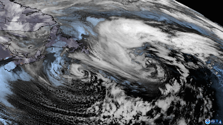
On January 25, 2021, the GOES East satellite zoomed in on two low pressure systems swirling over the North Atlantic while cloud streets streamed off the North American coast.
"The North Atlantic is a breeding ground for low pressure systems during the winter as cold continental air coming off the East Coast sets up a natural frontal zone with the warm Gulf Stream water," says NWS meteorologist Brian Jackson. "Whenever a disturbance in the jet stream occurs, it's very easy to spin up a surface low pressure system."
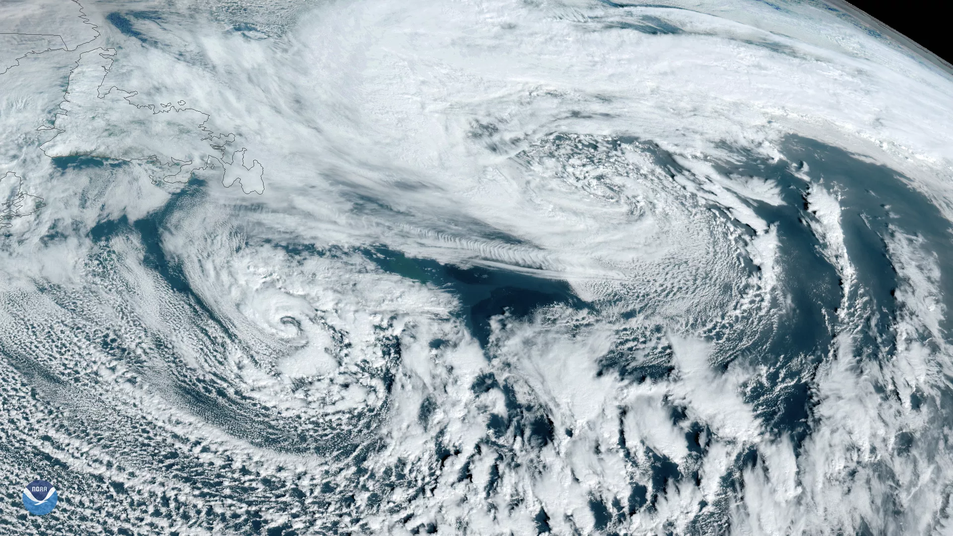
Still image of the storm system via GOES East on Jan. 26, 2021
Cloud streets are the wispy parallel lines of cumulus clouds that are most often seen during the colder months of the year. They form when very cold air moving offshore picks up heat and moisture from relatively warmer water, giving rise to columns of heated air called thermals. When rising, the warmer air runs into the colder air above, which causes it to condense into clouds that cool and sink to either side. This rising and sinking motion creates parallel cylinders of rotating air that line up in the direction of the prevailing wind.
The orientation of the clouds in this satellite image tells us that the stronger winds were mainly coming from the northwest. You can also see these ribbony streaks being taken up by the more western low over the water over the course of roughly 20 hours.
The GOES East geostationary satellite, also known as GOES-16, keeps watch over most of North America, including the continental United States and Mexico, as well as Central and South America, the Caribbean, and the Atlantic Ocean to the west coast of Africa. The satellite's high-resolution imagery provides optimal viewing of severe weather events, including thunderstorms, tropical storms, and hurricanes.