
May 01, 2020
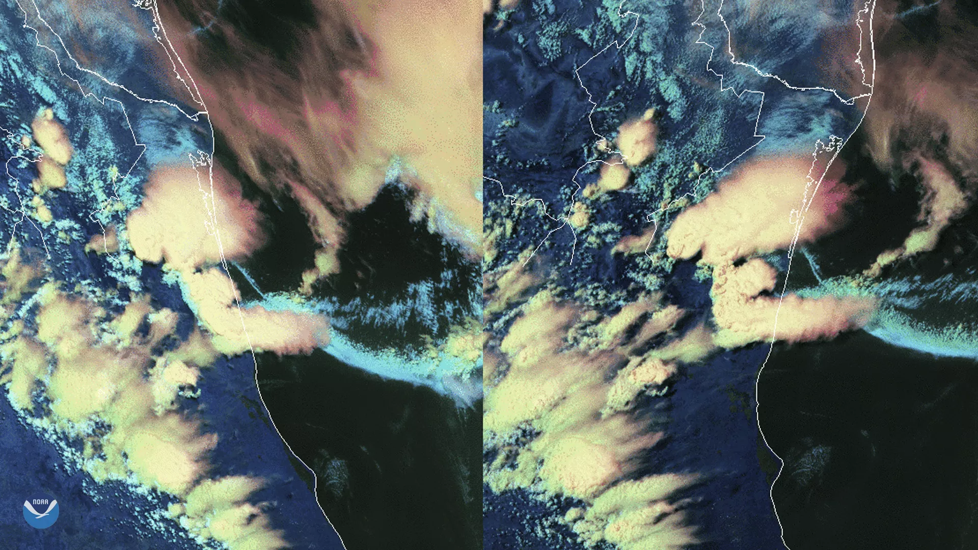
On April 30, 2020, GOES-East (right) and GOES-West (left) saw a well-known weather interaction play out in Northeastern Mexico. In this image, you can see a derecho’s outflow boundary interacting with thunderstorms that bubbled up over the Sierra Madre mountain range, which is adjacent to the Gulf of Mexico and the southernmost border of the contiguous United States.
Derecho, Spanish for “straight ahead,” is defined as “a widespread, long-lived wind storm associated with a band of rapidly moving showers or thunderstorms” that occur in a straight line in one direction. Most common during the spring and summer months, derechos can occur in many different types of conditions, they usually are preceded by, according to the Storm Prediction Center at NOAA, “ominous-looking "shelf" clouds that form in the zone of rapidly rising air on the leading edge of the storm system's outflow winds.”
As the derecho swept southward, the cold, dense air that fanned outward from it created an outflow boundary that is visible as the arc of clouds flowing southward in the image. Outflow boundaries can sometimes travel for hundreds of miles and cause new thunderstorms to develop along with it, as seen around the Sierra Madre in the last several images of the animation.
The Sierra Madre mountain peaks are a prime location to see thunderstorms (aka, cumulonimbus clouds), studied in depth since the beginnings of satellite technology in the 1970s. “Some thunderstorms [on its highest peaks] were observed to last for hours with visible overshooting tops and/or large areas of cold cloud tops in infrared imagery,” a Storm Prediction Center study showed. Combine the derecho’s interaction and the propensity for the Sierra Madre peaks to create cumulonimbi, and one gets the resulting dynamic imagery seen by the GOES satellite fleet above.
The GOES-East geostationary satellite, also known as GOES-16, keeps watch over most of North America, including the continental United States and Mexico, as well as Central and South America, the Caribbean, and the Atlantic Ocean to the west coast of Africa. The GOES-West satellite, or GOES-17, provides geostationary satellite coverage of the Western Hemisphere, including the United States, the Pacific Ocean, Alaska, and Hawaii. The satellites’ high-resolution imagery provides optimal viewing of severe weather events, including thunderstorms, tropical storms, and hurricanes.