
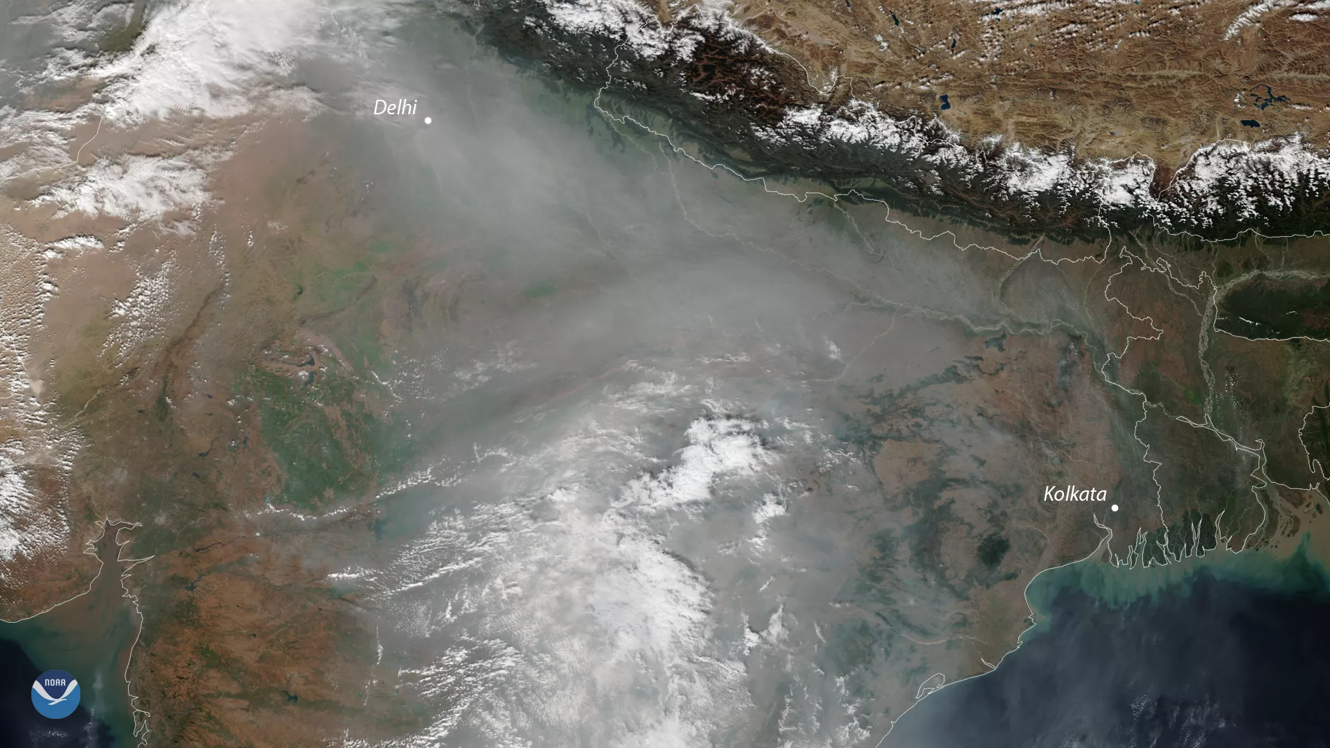
A cloud of unhealthy air pollution shrouded the skies of northern India again this week. It's a common sight in satellite images during the autumn and winter months, when the country's poor air quality frequently deteriorates to levels that are harmful to human health.
On Dec. 10, 2018, the air quality index in New Delhi, India's capital, hit the "severe" category , as a stagnant weather pattern kept pollutants trapped over the region. The hazy skies are clearly visible in this Dec. 10 true-color image from the NOAA-20 satellite, which shows thick smog hanging over the capital that is home to more than 20 million people.
India has been grappling with some of the world's worst air quality, as poorly regulated industrial pollution and smoke from agricultural burning chokes many of the country's major cities. According to the World Health Organization , Delhi ranks among the most polluted cities in the world.
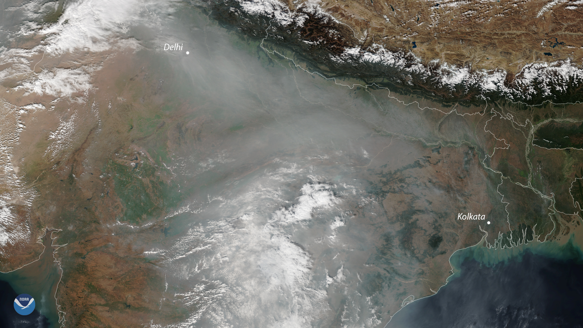
Fortunately, pollution levels have improved since earlier this week. On Thursday (Dec. 13), a combination of rain and steadier winds helped clear the air, bringing the air quality index back down to moderate levels.
This image was captured by the NOAA-20 satellite's VIIRS instrument, which scans the entire Earth twice per day at a 750-meter resolution. Multiple visible and infrared channels allow us to detect atmospheric aerosols, such as dust, smoke and haze associated with industrial pollution.