
GOES-16's Geostationary Lightning Mapper (GLM) captured the shadow of the moon moving through a area severe weather featuring frequent cloud-to-ground lightning in the upper Midwest yesterday, August 21, 2017! The first instrument of its kind in geostationary orbit, GLM observes total lightning (both in-cloud and cloud-to-ground), and offers a constant vigil for lightning flashes day and night across the Western Hemisphere.
An EPIC View of the 2017 Solar Eclipse
From a million miles out in space, NASA’s Earth Polychromatic Imaging Camera (EPIC) on board NOAA's Deep Space Climate Observatory (DSCOVR) satellite captured this loop composed of 12 natural color images of the moon’s shadow crossing over North America on August 21, 2017. EPIC photographs the full sunlit side of Earth every day, giving it a unique view of total solar eclipses.
VIIRS Sees the Moon's Shadow over the Midwest
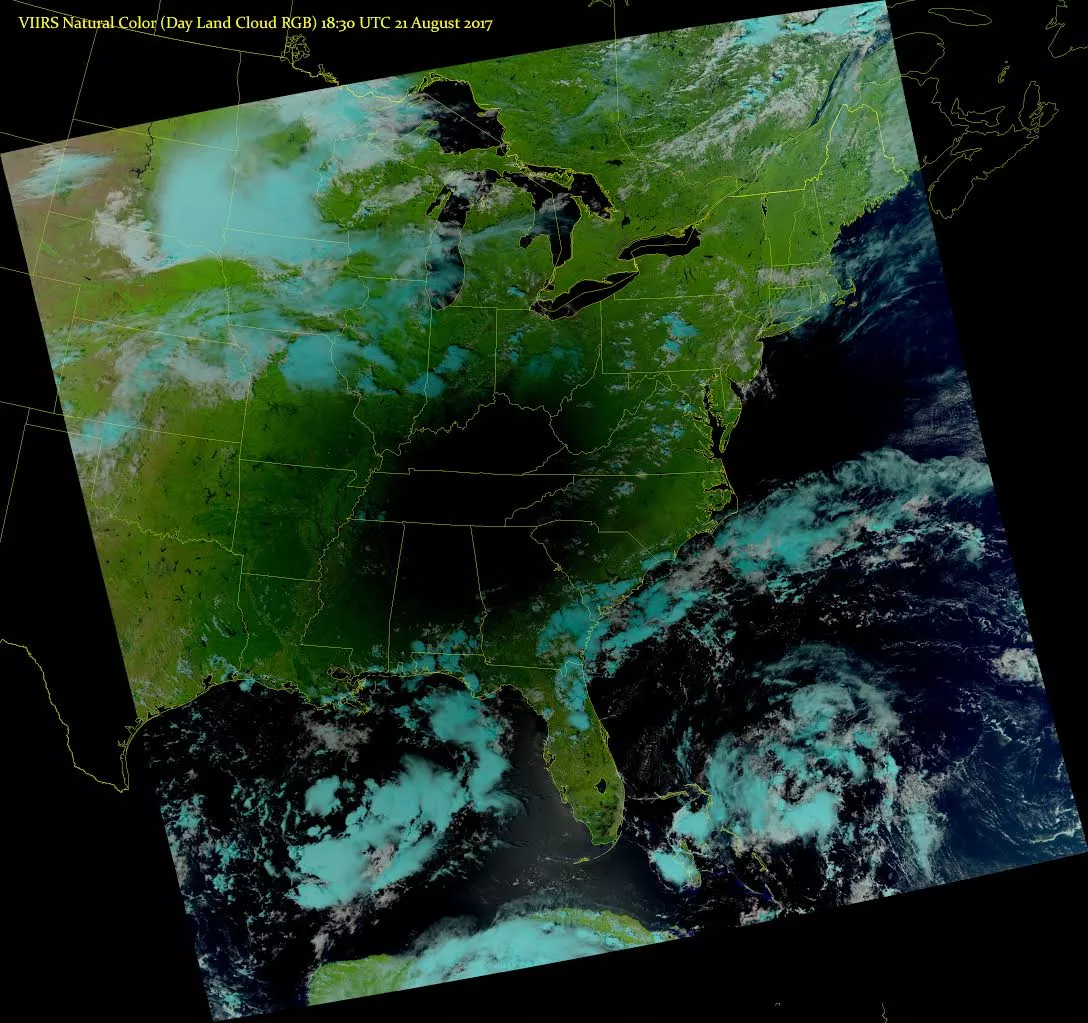
The Visible Infrared Imaging Radiometer Suite (VIIRS) aboard the NOAA/NASA Suomi NPP satellite captured this color-enhanced infrared image of the moon's shadow during today's solar eclipse. In this so-called "natural color" RGB composite image, vegetation appears green, liquid clouds appear white, and higher ice clouds appear as cyan. Note, however, how nothing appears in the area covered by the moon's shadow.
Follow the Moon's Shadow across the Northern Hemisphere
Follow the shadow of the moon as it moves West to East across the Northern Hemisphere in this geocolor animation from NOAA's GOES-16 satellite!
Watch the Moon's Shadow Move from Coast to Coast
Watch the moon's shadow move from coast to coast in this latest geocolor animation from GOES-16! The loop begins at 12:27 pm (eastern) and ends at 2:52 pm today. This animation comes to us courtesy of GOES-16's Advanced Baseline Imager, which can capture an image of the continental United States every 5 minutes!
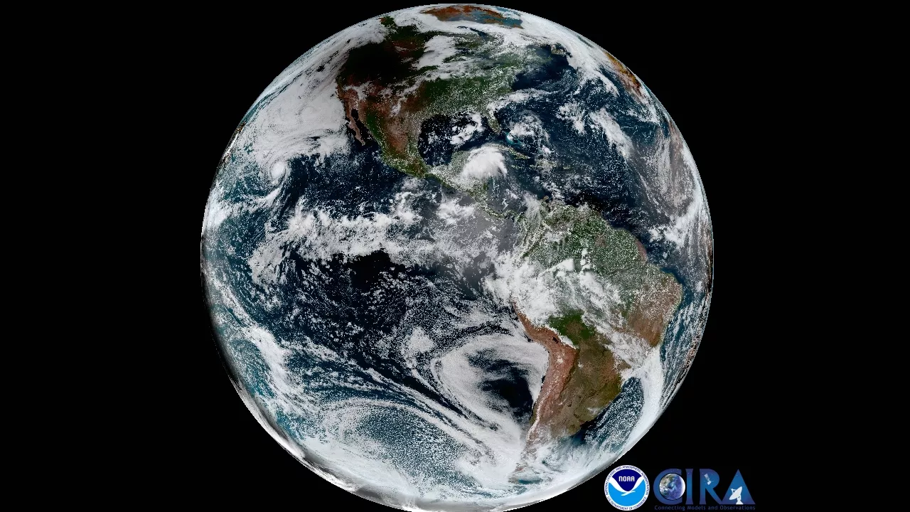
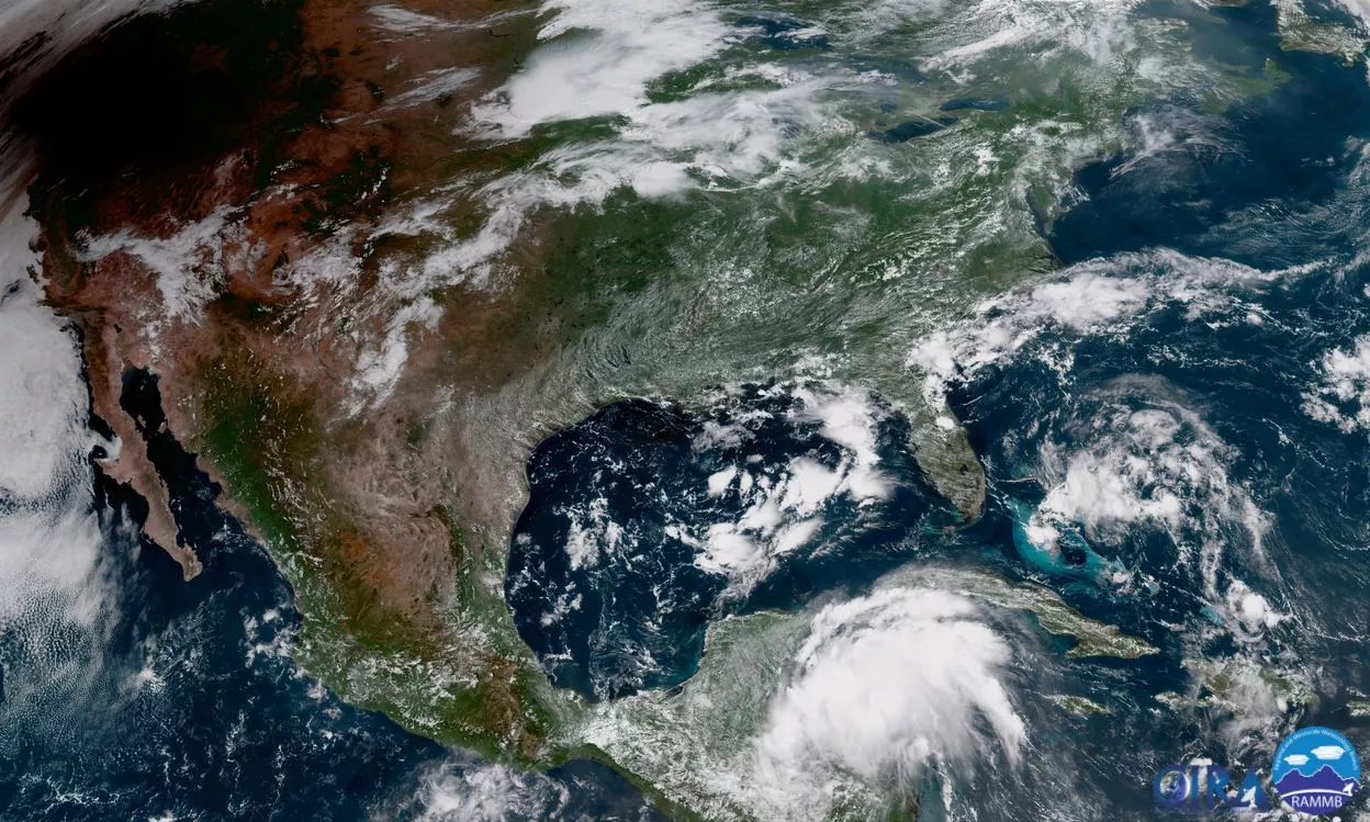
The Moon's Shadow Moves East of the Mississippi
Continuing on its way toward the Atlantic, the center of the moon's shadow is now east of the Mississippi River! This image comes to us courtesy of GOES-16's Advanced Baseline Imager, which can take a full-disk image of the Earth like this one every 15 minutes!
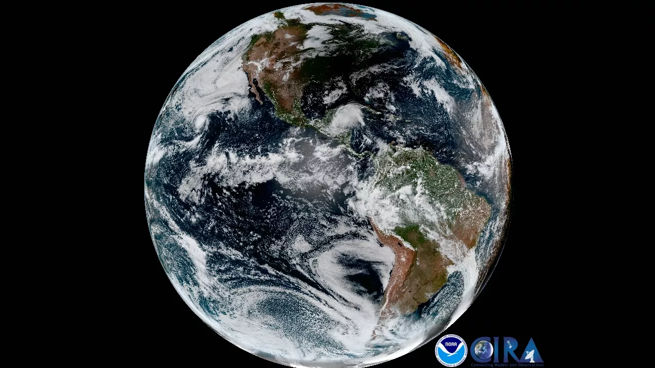
The Full-Disk Geocolor Image from GOES-16!
This full-disk geocolor image from GOES-16 shows the shadow of the move covering a large portion of the northwestern U.S. earlier today, August 21, 2017.
The Shadow's March Continues!
As seen in this geocolor animation from NOAA's GOES-16 satellite, the shadow of the moon has moved further inland from the Pacific and now covers a large portion of the northwestern U.S.
Moon's Shadow Makes Landfall over the Pacific Northwest
The shadow the moon blots out the Pacific Northwest in this GOES-16 geocolor image of the 2017 Solar Eclipse.
The Moon's Shadow Darkens the West Coast
Watch as the moon's shadow begins to darken the West Coast in this first GOES-16 geocolor animation of #Eclipse2017!
While most of America will be looking up to catch a glimpse of today's solar eclipse, NOAA's GOES-16 satellite will be looking down from its orbit 23,000 miles above the Earth, tracking the moon’s shadow across the United States.
Here it comes!
The moon's shadow approaches the West Coast of the United Stated in this GOES-16 geocolor animation from earlier today, August 21, 2017.
NOAA's GOES-16 satellite will have a clear view of the moon’s shadow as it travels diagonally across the United States, from the Pacific Northwest through South Carolina. We'll be sharing a variety of GOES-16 images and animations throughout the day, including:
- The beginning of the eclipse on the West Coast
- The path of the eclipse across the entire U.S.
- The moon’s shadow as it passes beyond the U.S.
We'll also have images from the EPIC camera on board NOAA’s DSCOVR satellite. Sitting one million miles from Earth, between our planet and the sun, DSCOVR will offer its own unique perspective on the eclipse!
So don’t worry if you're far from the eclipse path or it’s cloudy outside—we've reserved a spot for you right here!
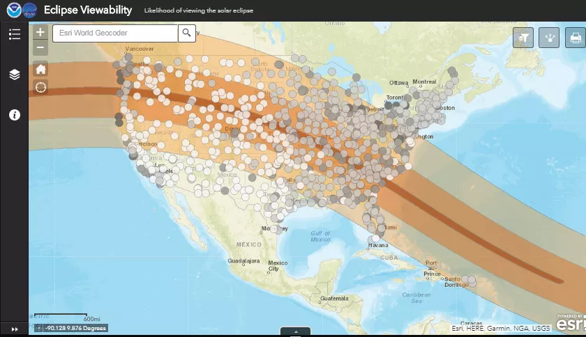
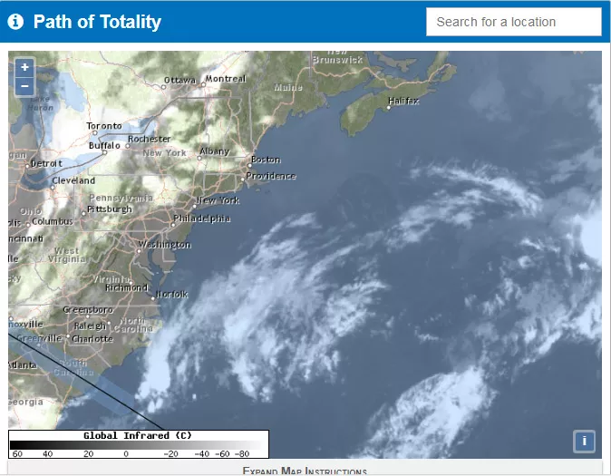
Still want to see it in person? Find a great spot using our historical cloudiness map to determine your best chance of a clear view of this historic event -- and don’t forget to check your local weather forecast!