
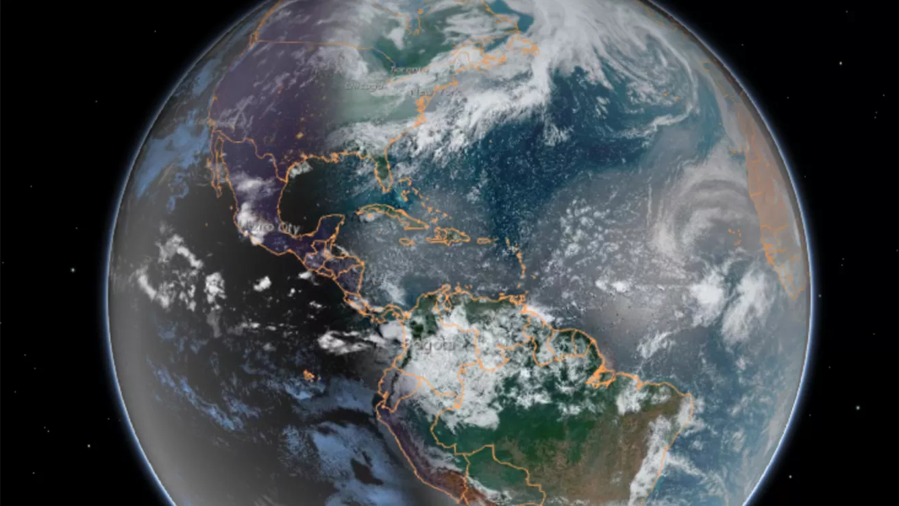
Our dynamic world is always changing. See what it looks like now from space via our live feeds.
Explore interactively Interactive Maps
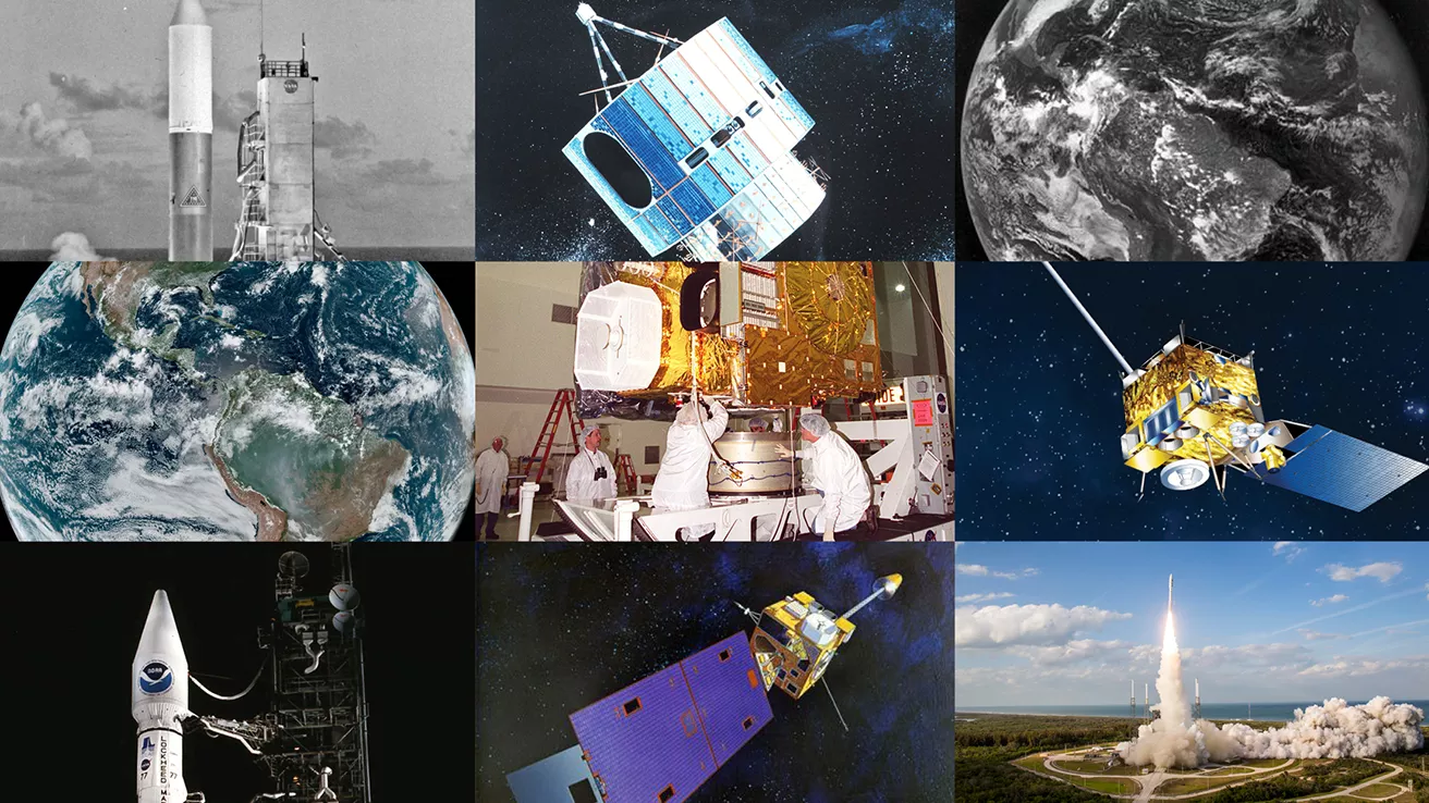
NOAA celebrates 50 years of its heralded Geostationary Operational Environmental Satellite program.
Fifty Years! 50 Years of GOES
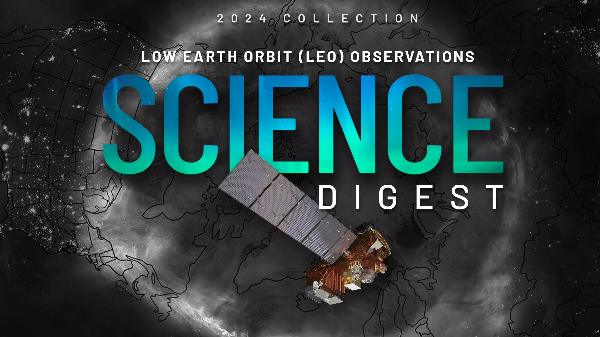
Explore the impact and applications of low earth orbit data and products.
View Digest 2024 LEO Science Digest
Feature Stories
-
The EXIS instruments onboard NOAA’s GOES-18 satellite, which launched on March 1, 2022, are powered…
-
NOAA’s JPSS-2 satellite has cleared a critical testing milestone, bringing it a step closer to…
-
NOAA satellites improve estimates of wildfire smoke, air quality predictions
-
In 2021, Hurricane Ida became the most destructive storm of the busy Atlantic hurricane season—its…
Data & New Technology
Data Purchases
NOAA is taking concrete steps to support the development of commercial markets for space-based weather data.
Visit the programs page Data Purchases
Data Collections
NOAA collects the most up-to-date data about the atmosphere, land, and oceans.
Learn about data information Data Collections
Pathfinder Initiative
Help develop studies for future applications of mission data products.
Read about pathfinder initiative Pathfinder Initiative
News & Announcements
-
With the upcoming launch of NOAA’s new GOES-T satellite, staff at ground stations like Wallops are…
-
NOAA has awarded a fourth Delivery Order under its existing IDIQ contract for commercial radio…
-
On Feb. 8, 2022, NOAA’s GOES East used its Advanced Baseline Imager (ABI) to focus on sea ice (…
-
On January 4, NASA Space Place released their monthly art challenge! They called on young explorers…
-
The U.S. National Weather Service is using new fog detection software to assist with fog warnings.
-
A cutting-edge new instrument is ready to be installed on NOAA’s GOES-U satellite, which is…
-
Last year, NOAA satellites helped rescue 330 people from potentially life-threatening situations…