

Our dynamic world is always changing. See what it looks like now from space via our live feeds.
Explore interactively Interactive Maps

NOAA celebrates 50 years of its heralded Geostationary Operational Environmental Satellite program.
Fifty Years! 50 Years of GOES
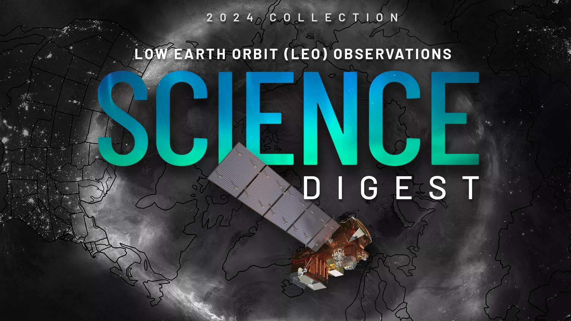
Explore the impact and applications of low earth orbit data and products.
View Digest 2024 LEO Science Digest
Feature Stories
-
The ozone band, part of the thermal infrared spectrum, allows us to track changes in the atmosphere…
-
Since its launch a decade ago, NOAA’s Deep Space Climate Observatory (DSCOVR) has played a crucial…
-
When hazardous winter weather threatens, NWS forecasters can use a new tool with GOES and JPSS…
-
LEO satellites track storms, winds, and sea ice, helping the National Weather Service Ocean…
Data & New Technology
Data Purchases
NOAA is taking concrete steps to support the development of commercial markets for space-based weather data.
Visit the programs page Data Purchases
Data Collections
NOAA collects the most up-to-date data about the atmosphere, land, and oceans.
Learn about data information Data Collections
Pathfinder Initiative
Help develop studies for future applications of mission data products.
Read about pathfinder initiative Pathfinder Initiative
News & Announcements
-
Cool imagery from the GOES satellite series, a retrospectiveNOAA’s Geostationary Operational…
-
The David Johnson Award is presented by the National Space Club in honor of the first Administrator…
-
GOES-U, the latest of NOAA’s four advanced geostationary satellites, soared into orbit on a SpaceX…
-
NASA, on behalf of NOAA, has selected Lockheed Martin Corp. of Littleton, Colorado, to build the…
-
In May 2024, NOAA SciJinks and NASA Space Place released its monthly art challenge! They called on…
-
NOAA’s GOES East (GOES-16) satellite watched severe thunderstorms fire up along a dry line situated…
-
NOAA's GeoXO series of geostationary satellites, currently in development, will include…