

Our dynamic world is always changing. See what it looks like now from space via our live feeds.
Explore interactively Interactive Maps

NOAA celebrates 50 years of its heralded Geostationary Operational Environmental Satellite program.
Fifty Years! 50 Years of GOES
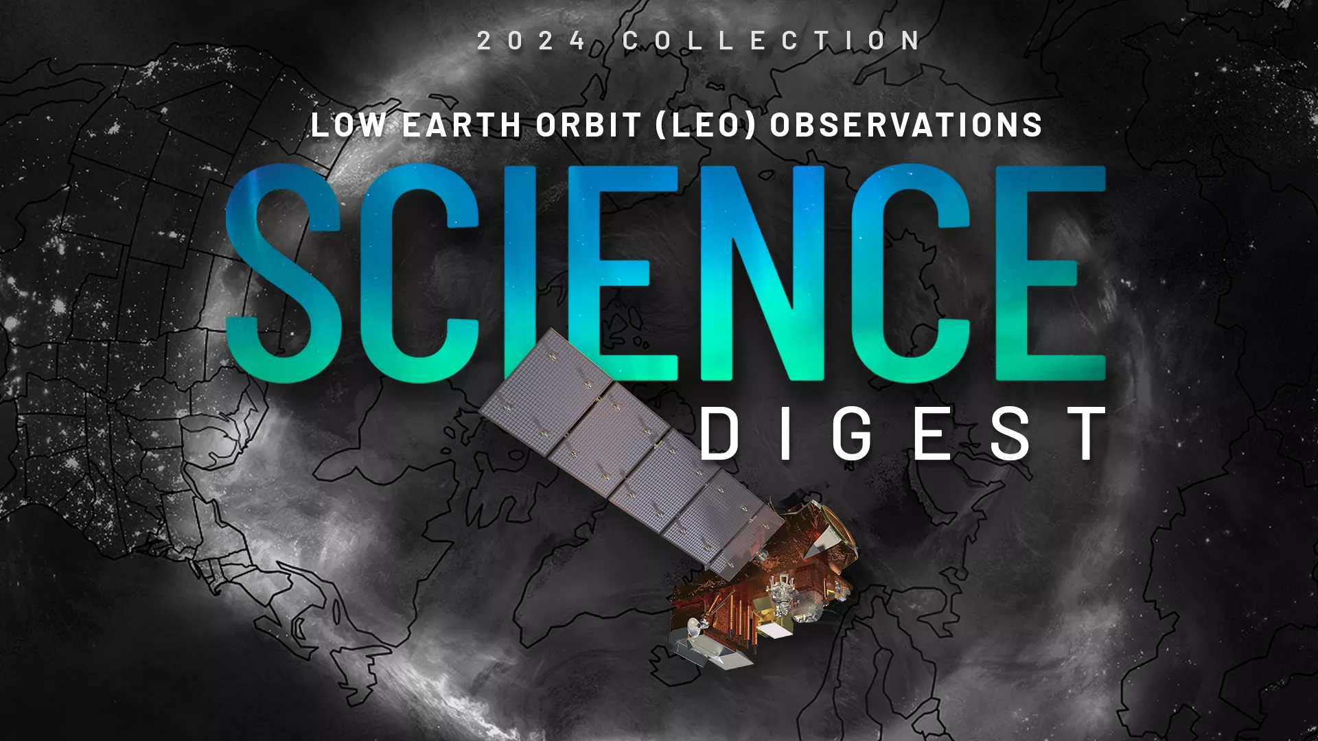
Explore the impact and applications of low earth orbit data and products.
View Digest 2024 LEO Science Digest
Feature Stories
-
From all of us celebrating on Earth—and in orbit—here’s to a new year of global cooperation,…
-
Here are NOAA's most captivating satellite images of 2024, based on your votes!
-
NOAA’s newest satellite, GOES-19, provided a beautiful view of Earth during the winter solstice.
-
NESDIS Intern, Aurora Baker, has improved NOAA's Data In the Classroom program and presented…
Data & New Technology
Data Purchases
NOAA is taking concrete steps to support the development of commercial markets for space-based weather data.
Visit the programs page Data Purchases
Data Collections
NOAA collects the most up-to-date data about the atmosphere, land, and oceans.
Learn about data information Data Collections
Pathfinder Initiative
Help develop studies for future applications of mission data products.
Read about pathfinder initiative Pathfinder Initiative
News & Announcements
-
NASA and SpaceX now are targeting Tuesday, June 25, for the launch of GOES-U, the fourth and final…
-
NOAA, NASA, NSF Experts, Neil deGrasse Tyson Featured In Total Solar Eclipse Viewing Event in DallasNOAA, NASA, NSF Experts, Neil deGrasse Tyson Featured In Total Solar Eclipse Viewing Event in Dallas
-
NESDIS scientist to receive NOAA’s David S. Johnson Award
-
NASA and SpaceX are now targeting no earlier than May 2024 for the launch of the fourth and final…
-
NOAA’s Satellite and Information Service (NESDIS) today released the first of three industry-…
-
On January 23, 2024, NOAA’s GOES-U satellite arrived in Florida for final preparations for its…
-
NOAA satellites are closely monitoring a strong atmospheric river that has been bringing excessive…