

Our dynamic world is always changing. See what it looks like now from space via our live feeds.
Explore interactively Interactive Maps

NOAA celebrates 50 years of its heralded Geostationary Operational Environmental Satellite program.
Fifty Years! 50 Years of GOES
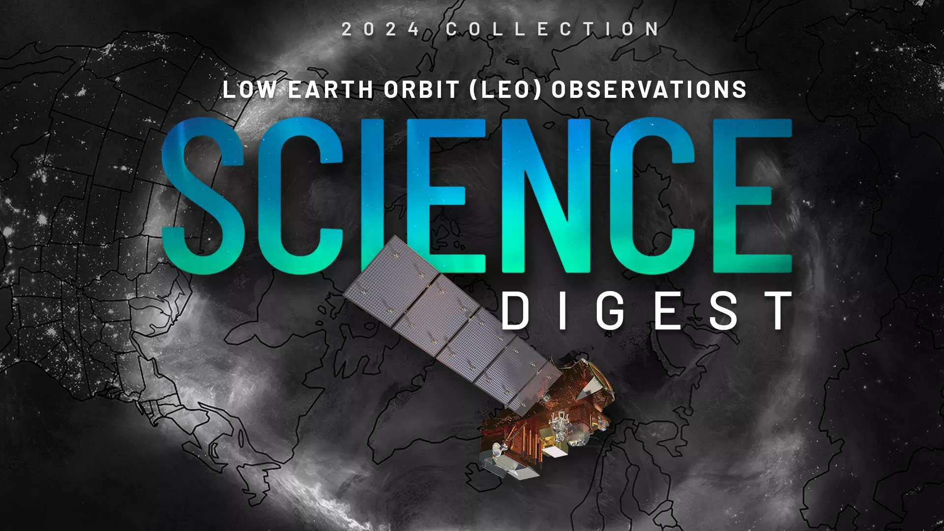
Explore the impact and applications of low earth orbit data and products.
View Digest 2024 LEO Science Digest
Feature Stories
-
NOAA hosted the 52nd Plenary Meeting of the Coordination Group for Meteorological Satellites (CGMS-…
-
NOAA offers a comprehensive set of ocean color products that integrate information from NOAA, NASA…
-
NOAA's GeoXO series of geostationary satellites, currently in development, will include…
-
On May 6, 2024, NOAA and the White House Office of Science and Technology Policy (OSTP) hosted a…
Data & New Technology
Data Purchases
NOAA is taking concrete steps to support the development of commercial markets for space-based weather data.
Visit the programs page Data Purchases
Data Collections
NOAA collects the most up-to-date data about the atmosphere, land, and oceans.
Learn about data information Data Collections
Pathfinder Initiative
Help develop studies for future applications of mission data products.
Read about pathfinder initiative Pathfinder Initiative
News & Announcements
-
As spring heads toward summer, NOAA satellites are prepared to help keep us safe during the…
-
NASA Awards Contracts for NOAA Coronagraph Instrument Phase A Study
-
On April 21, 2023, a coronal mass ejection (CME) erupted from the sun, spewing out a burst of…
-
The first Earth Day took place in 1970, which also was the same year NOAA was established. Since…
-
NOAA Announces Technology Studies to Inform Development of New Weather Instruments, Next-Gen Ground…
-
Severe storms that began rolling through the southern U.S. on Friday, March 24, 2023 left a path of…
-
NOAA has announced the award of two Radio Occultation Data Buy II (RODB-2) Indefinite Delivery/…