
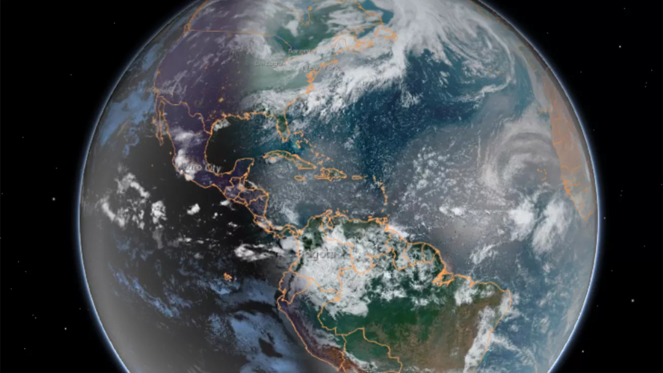
Our dynamic world is always changing. See what it looks like now from space via our live feeds.
Explore interactively Interactive Maps
NOAA celebrates 50 years of its heralded Geostationary Operational Environmental Satellite program.
Fifty Years! 50 Years of GOES
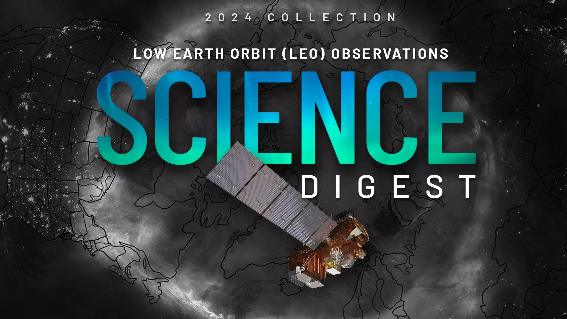
Explore the impact and applications of low earth orbit data and products.
View Digest 2024 LEO Science Digest
Feature Stories
-
Meet Olaf McCreary, a satellite engineer at NOAA’s Office of Low Earth Orbit Observations.
-
NOAA's new GOES-U satellite will be carrying a new instrument—the nation’s first operational…
-
On July 7, 2024, NOAA's GOES-U satellite reached geostationary orbit above Earth's…
-
NOAA hosted the 52nd Plenary Meeting of the Coordination Group for Meteorological Satellites (CGMS-…
Data & New Technology
Data Purchases
NOAA is taking concrete steps to support the development of commercial markets for space-based weather data.
Visit the programs page Data Purchases
Data Collections
NOAA collects the most up-to-date data about the atmosphere, land, and oceans.
Learn about data information Data Collections
Pathfinder Initiative
Help develop studies for future applications of mission data products.
Read about pathfinder initiative Pathfinder Initiative
News & Announcements
-
NASA and SpaceX are now targeting no earlier than May 2024 for the launch of the fourth and final…
-
NOAA’s Satellite and Information Service (NESDIS) today released the first of three industry-…
-
On January 23, 2024, NOAA’s GOES-U satellite arrived in Florida for final preparations for its…
-
NOAA satellites are closely monitoring a strong atmospheric river that has been bringing excessive…
-
Three older polar-orbiting satellites are now operated through a new, cloud-based commercial…
-
NOAA satellites constantly monitor the oceans for tropical activity. As the 2023 Atlantic hurricane…
-
NOAA-21 is now fully operational in NOAA’s fleet of polar-orbiting satellites that provide critical…