

Our dynamic world is always changing. See what it looks like now from space via our live feeds.
Explore interactively Interactive Maps

NOAA celebrates 50 years of its heralded Geostationary Operational Environmental Satellite program.
Fifty Years! 50 Years of GOES
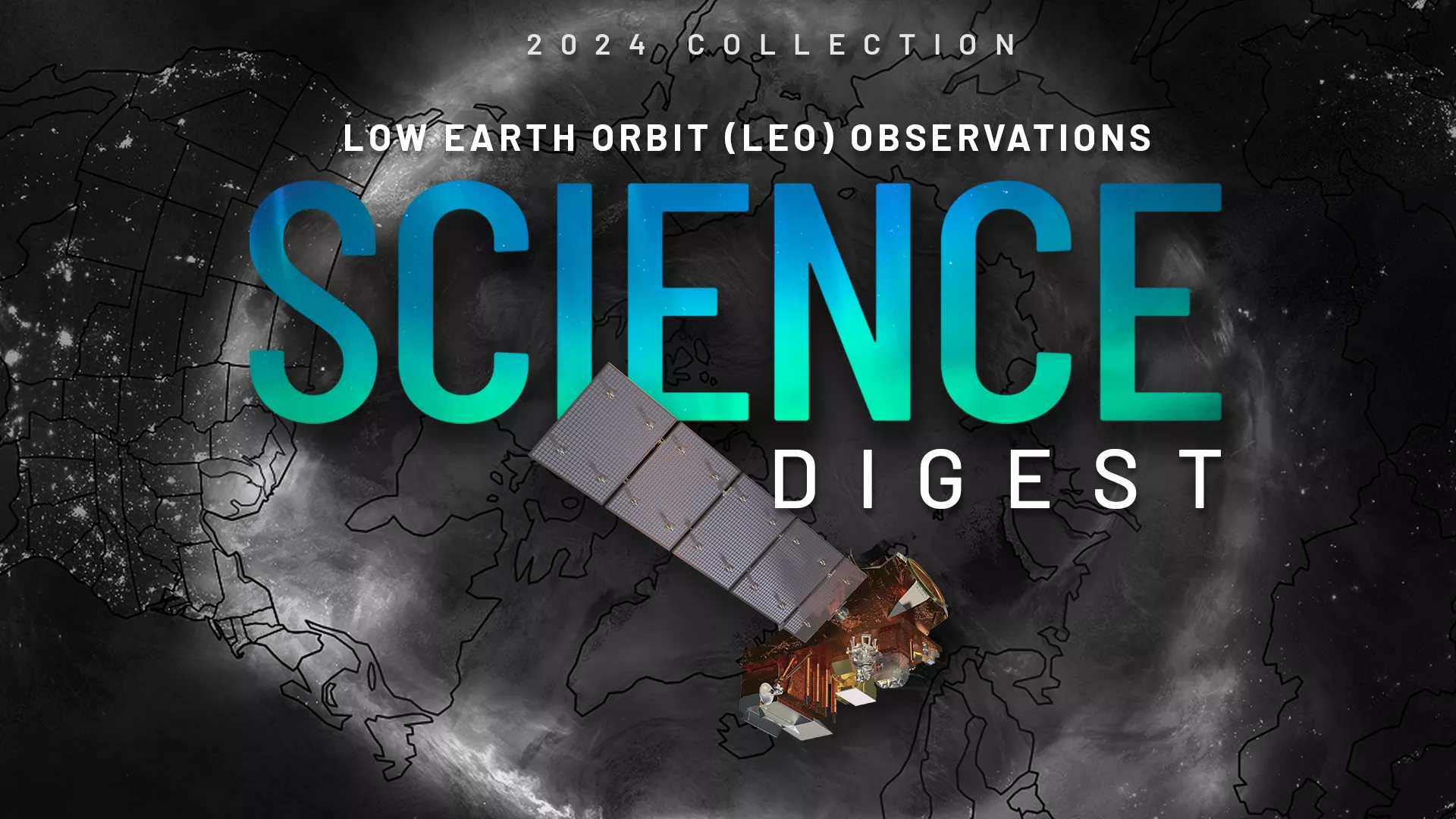
Explore the impact and applications of low earth orbit data and products.
View Digest 2024 LEO Science Digest
Feature Stories
-
NOAA-21 is now operating as the primary satellite in NOAA’s advanced Joint Polar Satellite System,…
-
Whether you are celebrating a love that is light years old or launching a new romance, our unique…
-
GOES-U, the last of NOAA’s advanced GOES-R series of satellites, arrived safely this week at the…
-
GOES-U, the Western Hemisphere’s most advanced weather-observing and environmental monitoring…
Data & New Technology
Data Purchases
NOAA is taking concrete steps to support the development of commercial markets for space-based weather data.
Visit the programs page Data Purchases
Data Collections
NOAA collects the most up-to-date data about the atmosphere, land, and oceans.
Learn about data information Data Collections
Pathfinder Initiative
Help develop studies for future applications of mission data products.
Read about pathfinder initiative Pathfinder Initiative
News & Announcements
-
Spring is on the horizon. With the promise of warmer temperatures and blooming flowers also comes…
-
NOAA and L3Harris have entered a formal agreement with the goal of improving technology to enable…
-
A massive winter storm recently made its way across the U.S. Parts of Texas, Oklahoma and Kansas…
-
Meteorologist Stephanie Stevenson, Ph.D., has been selected as the 2023 winner of NOAA’s…
-
Around 7:20 p.m. local time on February 21, 2023, Tropical Cyclone Freddy made landfall on the…
-
NOAA Awards JPSS Low Earth Orbit Ground Sustainment Services Contract Award
-
After a successful launch on October 7, 2022, Argos-4 has now completed yet another significant…