

A massive winter storm recently made its way across the U.S. Parts of Texas, Oklahoma and Kansas were blasted by severe weather and tornadoes while heavy rain and snow blanketed much of California and parts of the West on Monday.
The now well-traveled storm began its journey late last week with an arctic blast in the Pacific Northwest, shutting down much of Oregon’s largest city with almost a foot of snow and paralyzing travel from parts of the Pacific Coast all the way to the northern Plains. The nearly 11 inches (28 centimeters) that fell in Portland amounted to the second snowiest day in the city’s history. It took drivers by surprise, stalling traffic during the Wednesday evening rush hour and trapping motorists on freeways for hours.
In Southern California, the National Weather Service office in San Diego issued its first-ever blizzard warning, covering the mountains of San Bernardino County from early Friday until Saturday afternoon. San Bernardino County lies east of Los Angeles County, where the first mountain blizzard warning since 1989 was scheduled to take effect at the same time. At one point over the weekend, snow was falling at rates of 2.5 inches per hour in places like Lake Arrowhead, California. In the mountains outside of Los Angeles, anywhere from 2 to 6 feet of snow have fallen since Wednesday. A dusting of snow even reached the Hollywood Hills and the hills around San Francisco. A blizzard warning was in effect through Saturday in California for higher elevations of the Sierra Nevada, where predictions called for several feet of snow, 60 mph (96 kph) gusts and wind chills as low as minus 40 degrees (minus 40 Celsius).
In Wyoming, roads across much of the southern part of the state were impassable, state officials said. Rescuers tried to reach stranded motorists, but high winds and drifting snow created a “near-impossible situation,” said Sgt. Jeremy Beck of the Wyoming Highway Patrol. In Arizona, several interstates and other highways were closed due to high winds, falling temperatures and blowing snow. Forecasters said snow could fall as rapidly as 2 to 3 inches (5 to 8 centimeters) per hour.
Nine confirmed or suspected tornadoes swept through Kansas and Oklahoma late Sunday and early Monday. Among them was an EF2 tornado that struck Oklahoma's third-largest city, Norman. Texas was also blasted by storms that packed heavy winds and hail in some areas—a wind gust of 114 mph was reported in Memphis, Texas, 130 miles northeast of Lubbock. More than a dozen injuries were reported in the region.
In hard-hit southeastern Michigan, still reeling from the ice storm and high winds, the state’s two main utilities—DTE Energy and Consumers Energy—reported more than 93,000 homes and businesses without power Monday morning. More than 61,000 of those were DTE customers.
A winter storm warning covered parts of the Northeast, including Connecticut, New York, Massachusetts, New Jersey and Rhode Island, with heavy snow forecast for Monday evening through Tuesday afternoon. More than 80 million Americans are currently under alert for wind or winter weather.
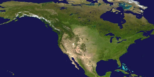
NOAA satellites play a crucial role in tracking storms across the United States and the Western Hemisphere, alerting those in harm’s way, and monitoring the hazards associated with severe weather.
The GOES East and West geostationary satellites keep constant watch over the Western Hemisphere and can capture storms in motion. The ability to monitor clouds and atmospheric conditions in near real-time helps forecasters track rapidly-changing weather conditions, determine how fast wind speeds will be at various levels of the atmosphere, identify when a storm is becoming severe, and predict where the storm will move.
Forecasters can gain additional insights into storm properties by combining data from multiple channels of the GOES East and GOES West imagers to create what’s called RGB (red-green-blue) imagery. For instance, the day cloud phase distinction RGB is used to monitor convective initiation, storm growth, and storm weakening as well as to identify snow on the ground. The air mass RGB is used to identify temperature and moisture characteristics of air masses. It provides information on the middle and upper levels of the troposphere and distinguishes between high and mid-level clouds.
The Joint Polar Satellite System (JPSS) polar-orbiting environmental satellites provide high-resolution imagery and take temperature and moisture measurements throughout the atmosphere, helping forecasters make predictions about a storm’s direction and intensity. The satellites provide critical atmospheric data to accurately forecast storms 3-7 days in advance.