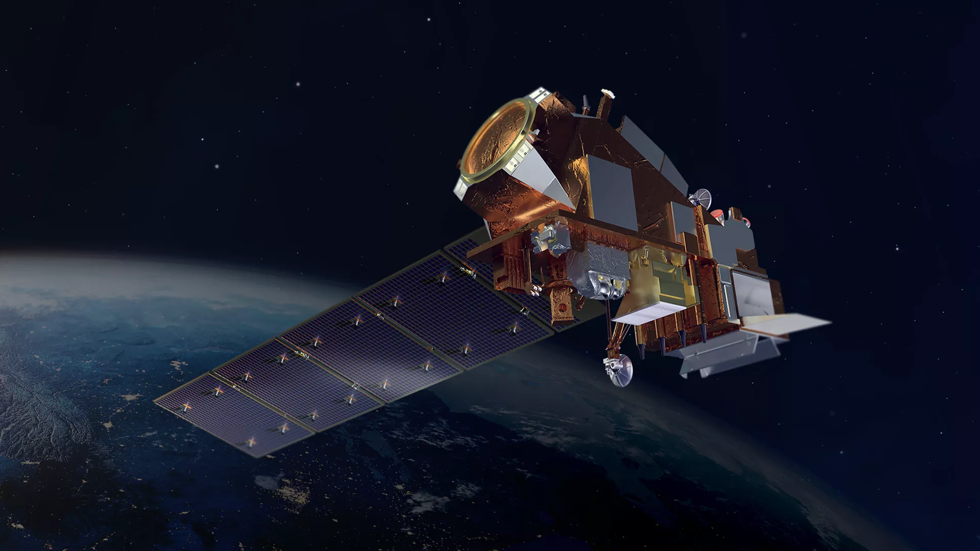
NOAA-21 is now operating as the primary satellite in NOAA’s advanced Joint Polar Satellite System (JPSS), the agency announced today.

The satellite launched in November 2022 as JPSS-2, and was renamed NOAA-21 when it reached orbit. NOAA-21 now gives NOAA three spacecraft operating the most sophisticated technology the agency has ever flown in a polar orbit, capturing precise observations of the world’s atmosphere, land and waters.
Along with the NOAA/NASA Suomi NPP satellite and the NOAA-20 satellite-– which now moves to the secondary orbit— NOAA-21 circles the globe 14 times a day, providing a continuous stream of data to improve the accuracy of NOAA’s 3–7 day forecasts. This includes observations for extreme weather events and monitoring climate change.
The JPSS fleet provides NOAA’s National Weather Service with global data for the numerical weather prediction models used to develop timely and accurate U.S. weather forecasts. In addition, the satellites deliver high-resolution imagery from the Visible Infrared Imaging Radiometer Suite, known as VIIRS, enabling them to detect fog, Arctic sea ice, volcanic eruptions and wildfires.
This advanced modeling information and imagery, shared with international and governmental partners, help businesses, emergency preparedness and response communities and individuals make the best decisions possible in the face of weather-related hazards.
JPSS satellites are designed to operate for seven years, with the potential for several more years of operation. The JPSS mission will deliver critical data and information for at least the next two decades to support a Weather-Ready Nation.
NOAA funds and manages the JPSS Program, operations and data products. On behalf of NOAA, NASA develops and builds the instruments and spacecraft, and launches the satellites. NASA developed the ground system, which NOAA operates and maintains.
