
Search
Showing 1 - 8 of 53 results
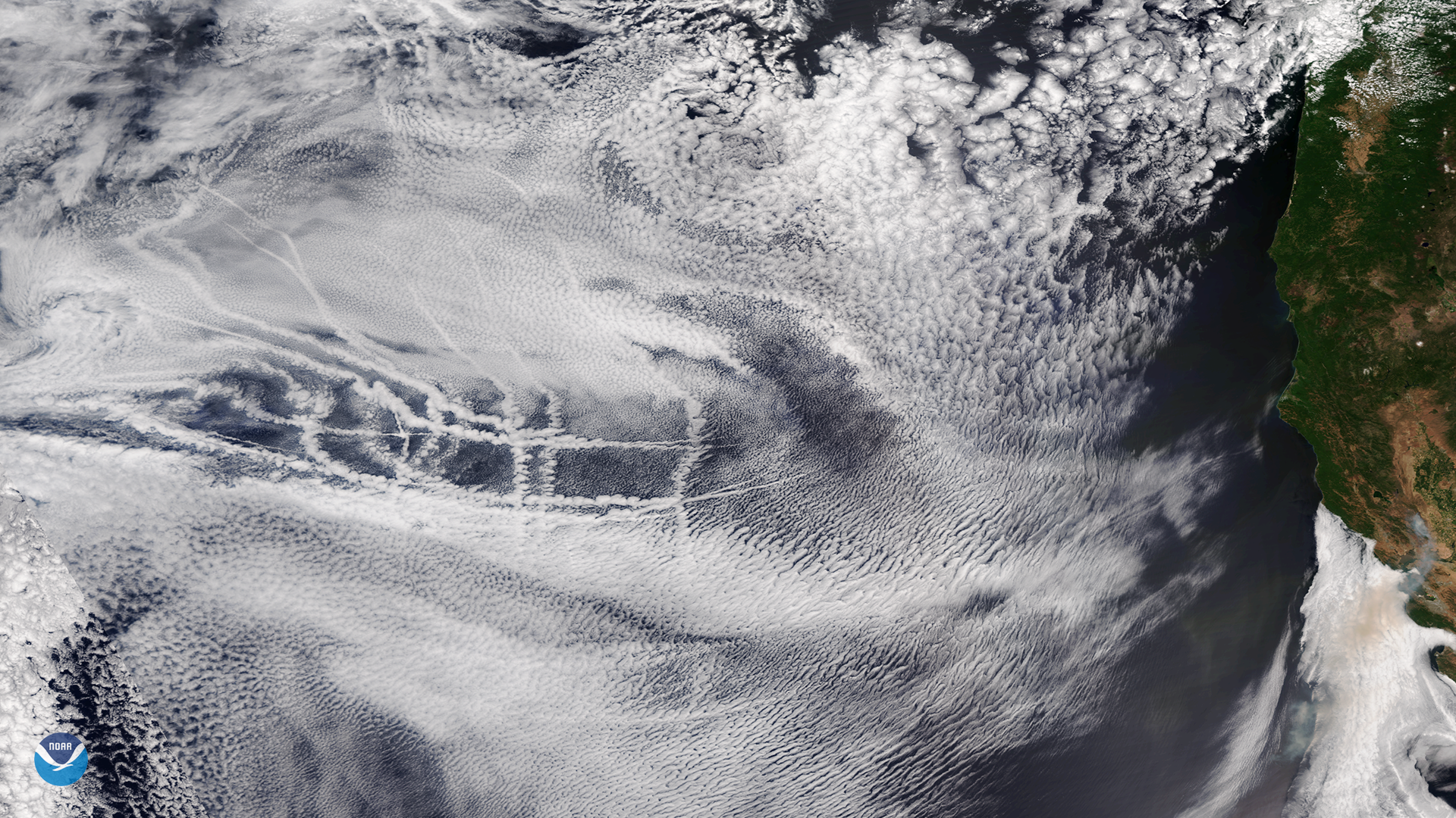
Ship tracks embedded in a layer of mid- and high-level clouds over the eastern Pacific Ocean on July 2, 2018
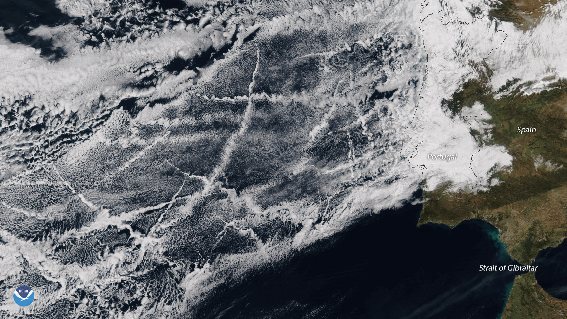
The ship tracks in this image stretch several hundred miles off the coast of Portugal, and occur in one of the most heavily…
From its vantage point nearly 22,300 miles up, the GOES West satellite captured this imagery of ship tracks embedded in…
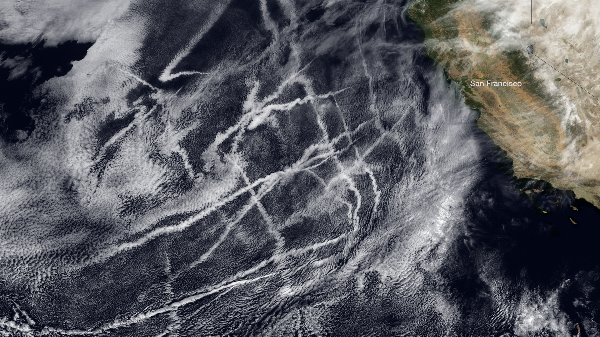
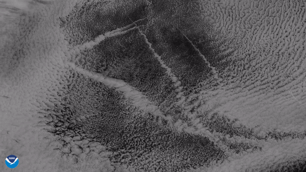
As cargo ships steam across the oceans, the tiny aerosol particles in their exhaust act as cloud nuclei, or seeds around…
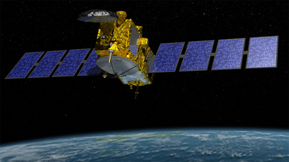
Jason-3, the latest in a series of satellites that tracks the rate of global sea-level rise and can help NOAA more…
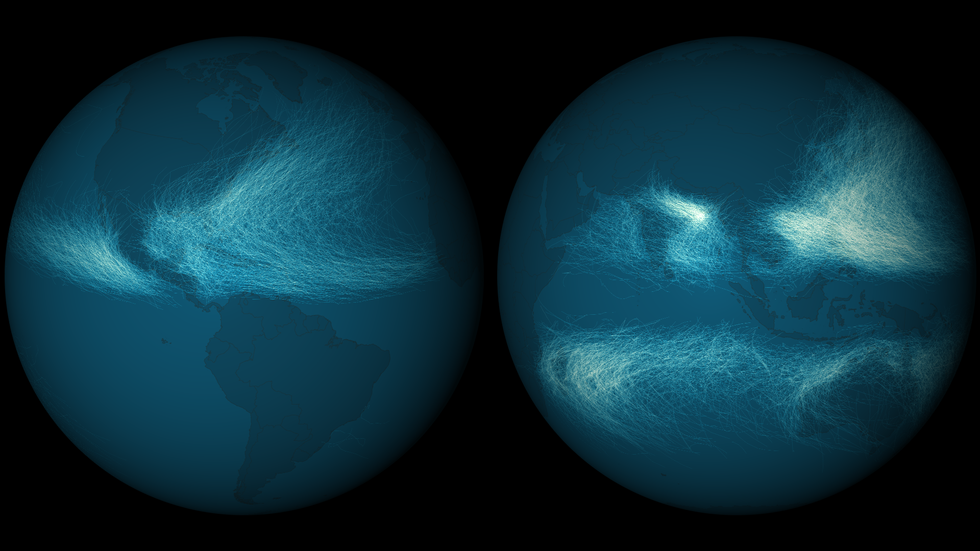
Tropical cyclones form in most ocean basins – some more frequently than others. Before the advent of the satellite era,…
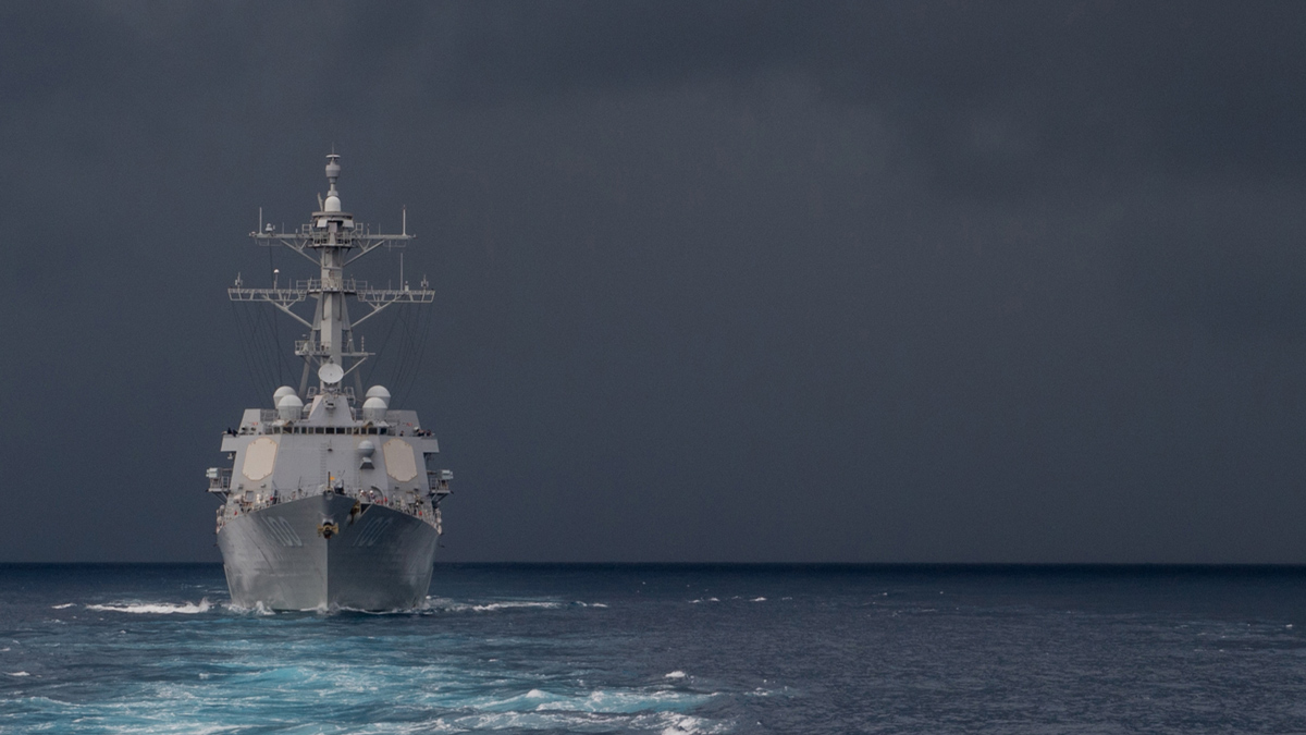
LEO satellites track storms, winds, and sea ice, helping the National Weather Service Ocean Prediction Center issue warnings…
Clouds form from water or ice that has evaporated from Earth’s surface, or from plants that give off water and oxygen as a…