
Search
Showing 49 - 56 of 230 results
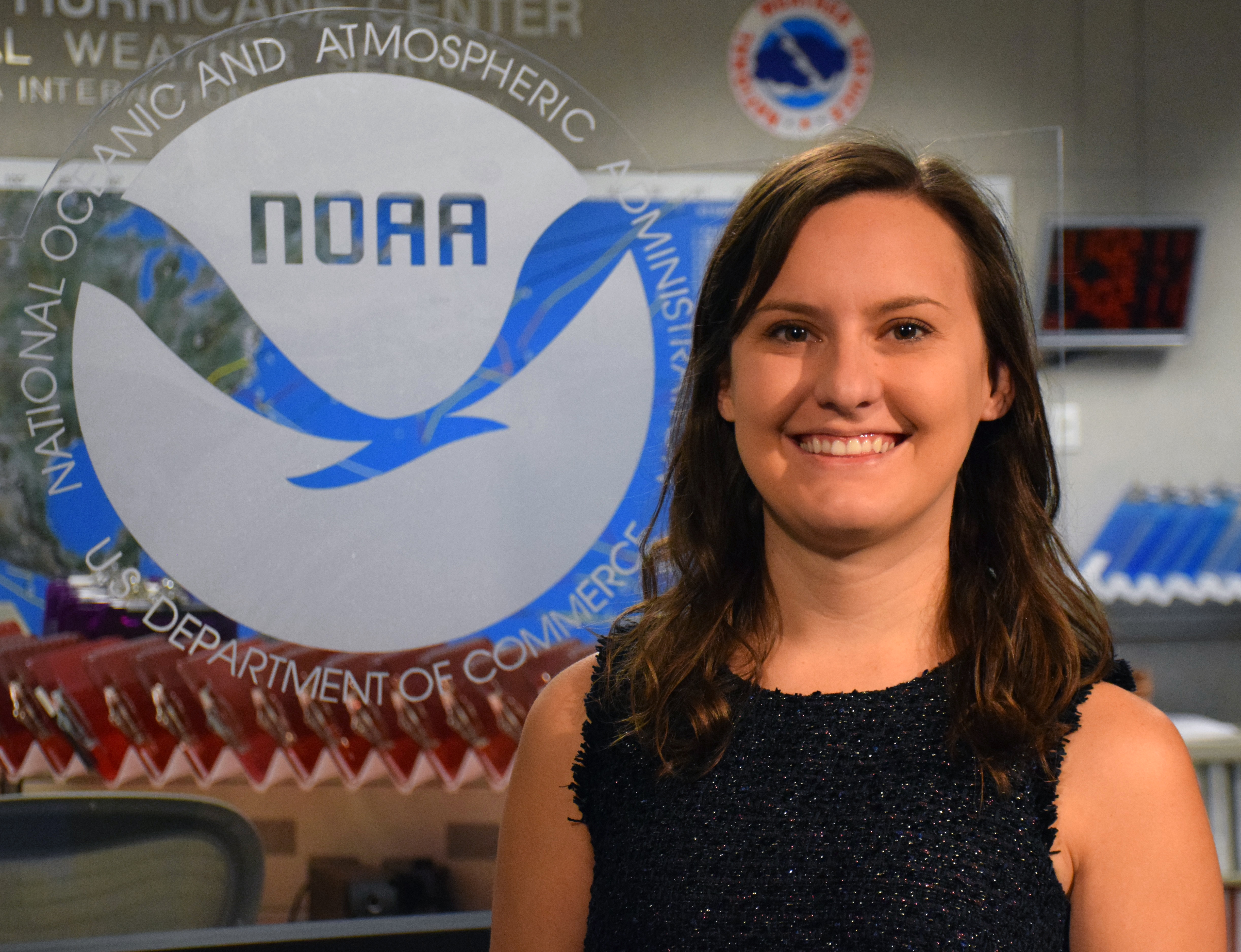
Meteorologist Stephanie Stevenson, Ph.D., has been selected as the 2023 winner of NOAA’s prestigious David S. Johnson Award.
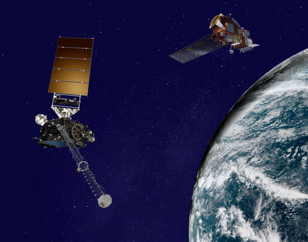
NOAA evaluated a range of space architecture options for delivering the recommended GeoXO observations effectively and…
On Oct. 5, 2020, NOAA's GOES-East satellite watched Tropical Storm Delta form in the Caribbean Sea.
Severe weather is classified as a series of events that can cause destructive or deadly effects on the ground. It…
From their orbits, NOAA satellites can play a vital role in detecting and tracking severe weather, providing forecasters…
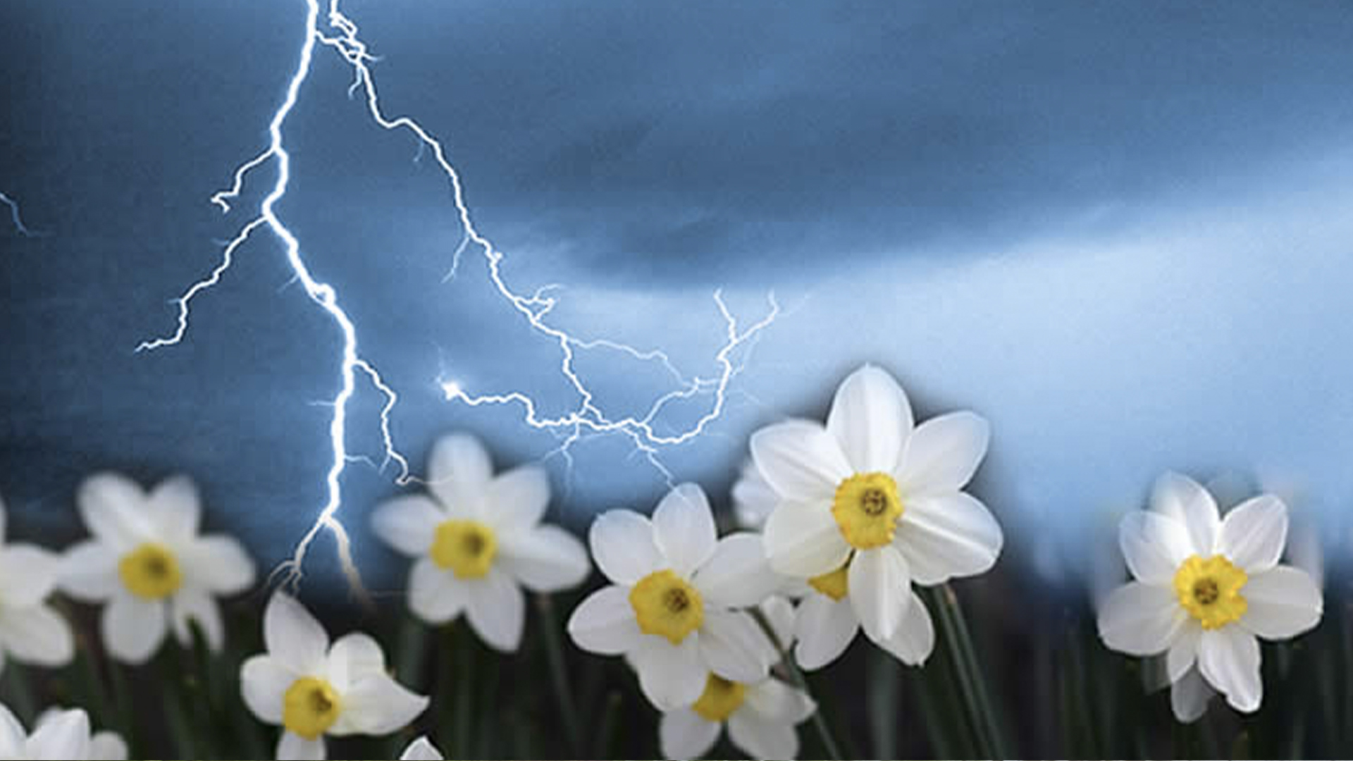
With the change of seasons, there comes increased risk of severe weather.
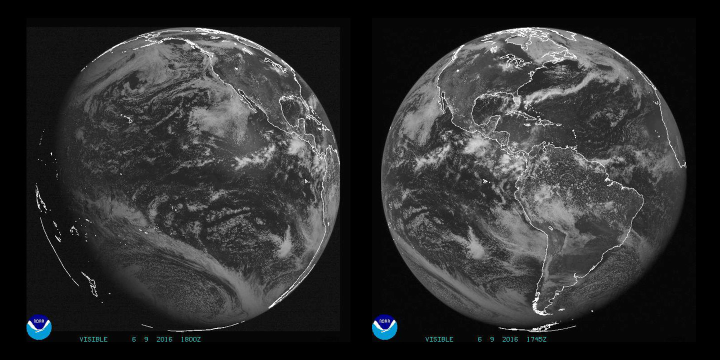
Imagery and data from NOAA's GOES-R satellite is a game-changer for U.S. and Western Hemisphere, and global partners…