GOES-R isn't just a game-changer for the U.S., but also for the other countries in the Western Hemisphere the satellite will see.

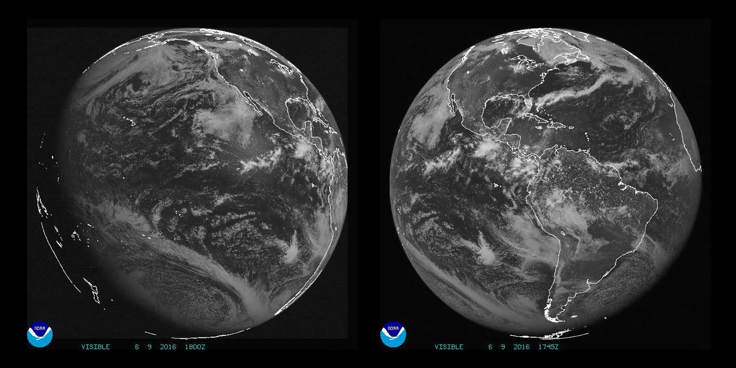
New imagery and data from NOAA's GOES-R satellite, scheduled for launch later this year, is not only a game-changer for the U.S., but also for the other countries in the Western Hemisphere the satellite will see. Geostationary satellites, like GOES-R, observe Earth from an equatorial view approximately 22,300 miles high, allowing them to see from the coast of West Africa, to Guam, and everything in between.

To prepare other countries for the new data forecasting capabilities the satellite will bring, members of the GOES-R team have visited meteorological and academic institutions in the Americas, Europe, Asia and Africa to keep forecasters and researchers informed and to ensure they will be able to access GOES-R data. Working with other nations adheres to NOAA’s principle of open data sharing, allowing other countries to benefit from sophisticated GOES-R satellite data that will help save lives and protect communities through more accurate forecasts.
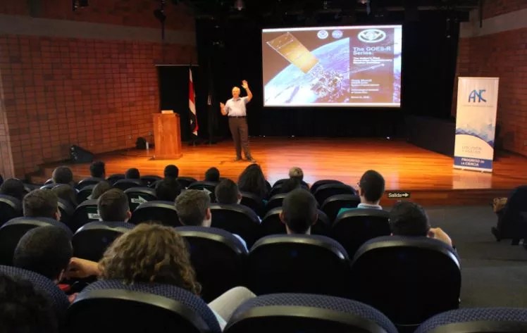
Recently, members of GOES-R leadership visited Puerto Rico to brief the annual World Meteorological Organization (WMO) regional hurricane committee, Mexico to provide training to the Mexican Meteorological Service, and the National Academy of Science of Costa Rica and the Technological Institute of Costa Rica. There, they talked about products relevant to Central America and the Caribbean as well as the ways meteorologists in Costa Rica will be able to access GOES-R data, once it becomes available.

International partners also help GOES-R validate data through field campaigns. Under the CHUVA project in Brazil, an international team used the São Paulo Lightning Mapping Array (a total lightning observing network) to generate test data and algorithms to validate GOES-R’s Geostationary Lightning Mapper, which will be the first lightning mapper to fly in geostationary orbit.
The sharing of information, technology and resources is key in developing a global Earth-observing system.
