
Search
Showing 273 - 280 of 322 results
May 20, 2025
May 20, 2025
Learn about NOAA’s next generation satellite capabilities to monitor our nation’s abundant natural ecosystems.
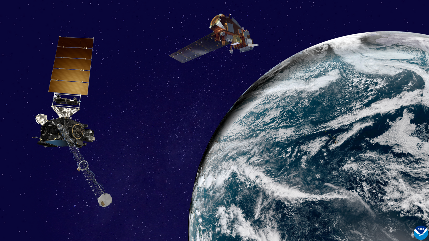
For more than seven years, NOAA’s GOES-13 satellite has been actively monitoring the skies over the Western Hemisphere.
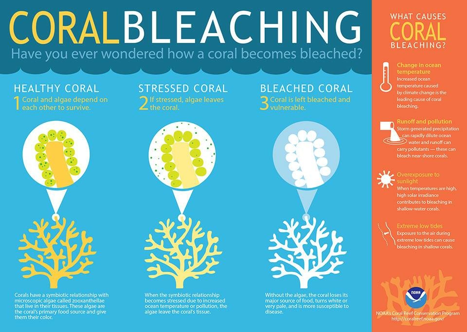
HOW NOAA’S POLAR-ORBITING SATELLITE DATA ARE USED TO HELP REEF CONSERVATION AROUND THE WORLD
The NOAA/NASA Suomi NPP…
The NOAA/NASA Suomi NPP…
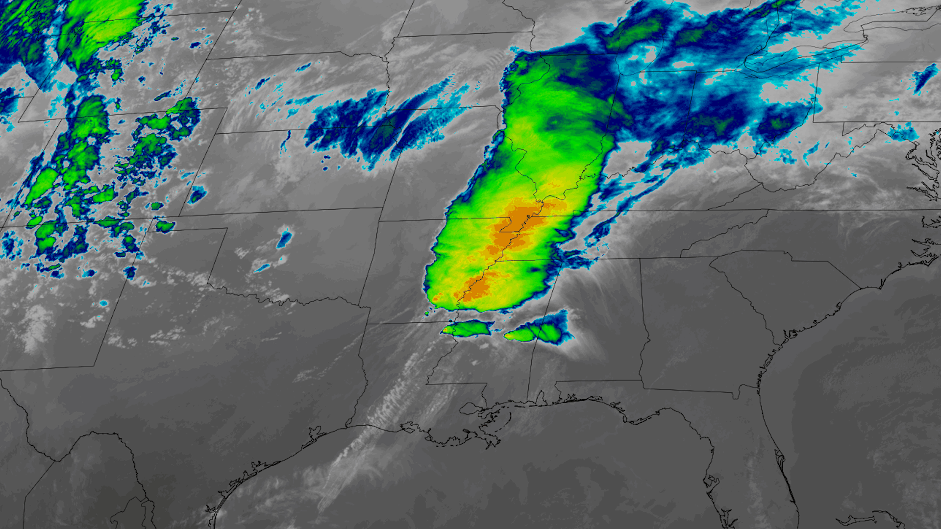
Severe storms that began rolling through the southern U.S. on Friday, March 24, 2023 left a path of devastation from Texas…
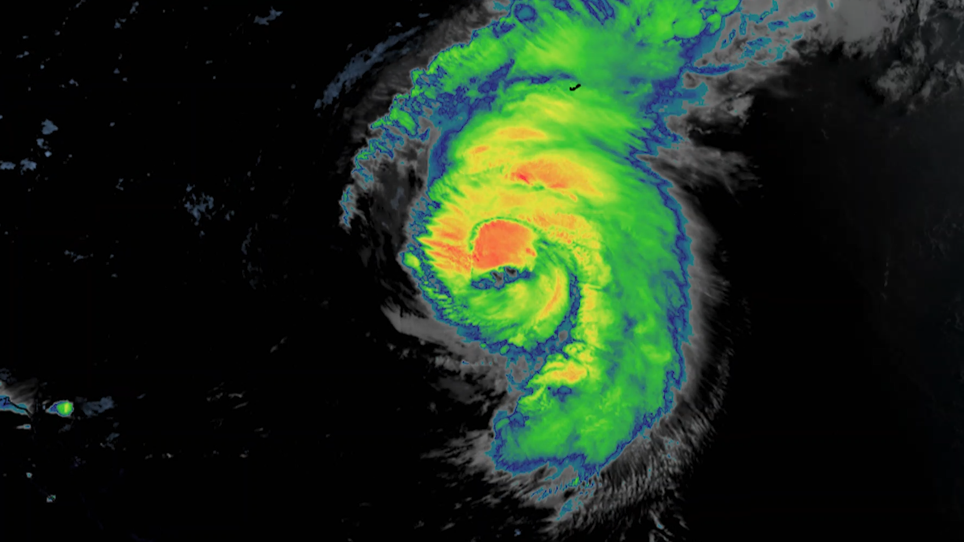
Even with the storm hundreds of miles offshore, Hurricane Ernesto was still being felt Saturday along much of the U.S.…
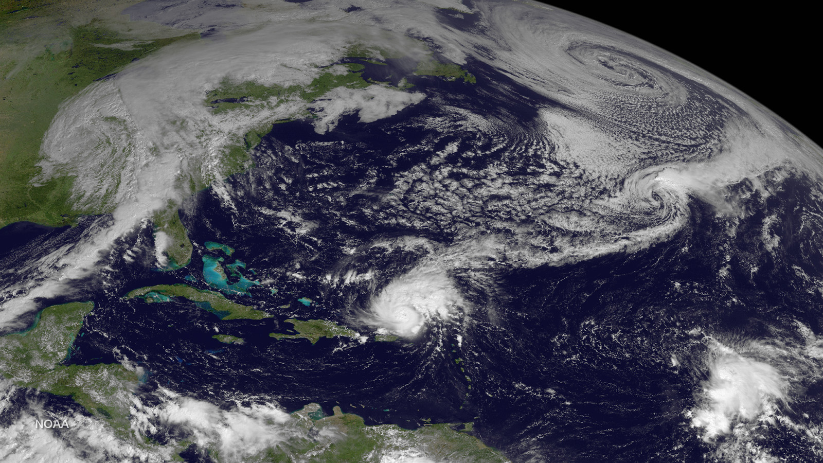
NOAA satellites see our planet from a unique and captivating perspective. Every year, our satellites see the beauty and…
NOAA’s JPSS satellites provide critical environmental data to support NOAA’s ongoing mission to understand and predict…
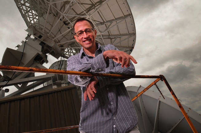
Monday, November 30, 2020Photo credit: Space Science and Engineering Center/Greg Anderson PhotographyJim Kossin is an…