
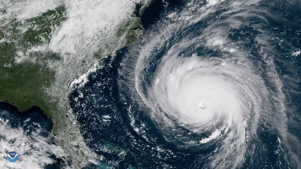
NOAA’s Geostationary Extended Observations (GeoXO) satellite system will expand observations of Earth that the GOES-R Series currently provides from geostationary orbit. The information GeoXO supplies will improve short-term forecasting and warning of severe weather and hazards that threaten the security and well-being of everyone in the Western Hemisphere.
The first GeoXO launch is planned for 2032 to ensure continuity of observations from geostationary orbit as the GOES-R Series nears the end of its operational lifetime.
Advancing NOAA’s Mission
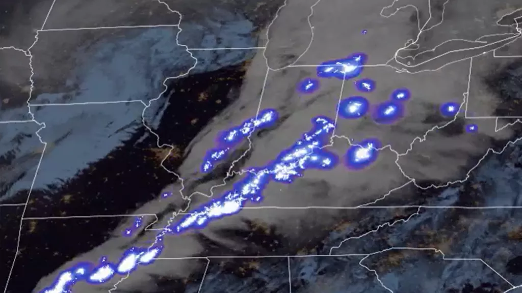
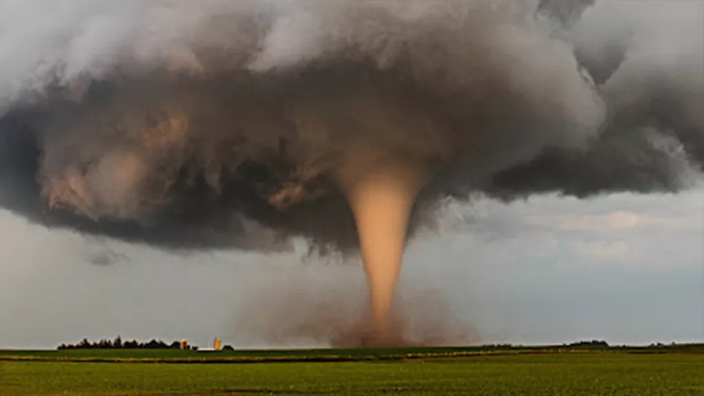
GeoXO will watch over the Western Hemisphere as part of NOAA’s observing system that supports short-term forecasts and warnings of extreme weather and environmental hazards. This observing system will deliver information that sophisticated forecasting models use to predict weather patterns.
NOAA’s Data Users Inform GeoXO Capabilities
NOAA, its data users, and industry partners worked together to prioritize GeoXO’s observations. To do this, they evaluated future environmental scenarios, studied GeoXO’s potential capabilities, assessed the value and societal and economic benefits of various observations, and conducted interviews, surveys, and workshops.
New & Improved Observations

New technology and scientific advancements will improve observations short-term weather forecasts and severe storm warnings. GeoXO will also detect and monitor environmental hazards like wildfires, smoke, dust, volcanic ash, drought, and flooding, providing advance warning to decision makers and improving lead times for public alerts.
GeoXO’s advanced capabilities will help address and the evolving needs of NOAA’s data users. NOAA plans for GeoXO to improve on GOES-R’s visible/infrared imagery and continue its lightning mapping capabilities. NOAA also plans for GeoXO to include hyperspectral infrared sounding for improved forecasts.
Collaboration Delivers the Mission
GeoXO is a collaborative mission between NOAA and NASA. NASA is managing the development of the satellites and will launch them for NOAA, which will operate them and deliver data to users worldwide. NOAA and NASA are working with commercial partners to design and build the GeoXO spacecraft and instruments.
GeoXO Information
News & Announcements
-
Announcement
NASA, on behalf of the National Oceanic and Atmospheric Administration (NOAA), has selected BAE… -
Announcement
NASA Selects Ball Aerospace to Develop NOAA’s GeoXO Sounder Instrument -
Announcement
NASA, on behalf of the National Oceanic and Atmospheric Administration (NOAA), has selected… -
Announcement
The Department of Commerce has formally approved NOAA’s next-generation geostationary satellite…
The information on this page is subject to change as the GeoXO program develops.