
The JPSS Program is committed to ensuring that the satellite user community is prepared to make the most of the imagery and data available from JPSS satellites, the United States' polar-orbiting operational environmental satellite system. To that end, we present the following list of online resources to help users take full advantage of JPSS data.
Quick Briefs
Quick Briefs are satellite product application videos that are typically 3-5 minutes in duration.
Quick Guides
Quick guides are 1-2 page satellite product reference materials for users.
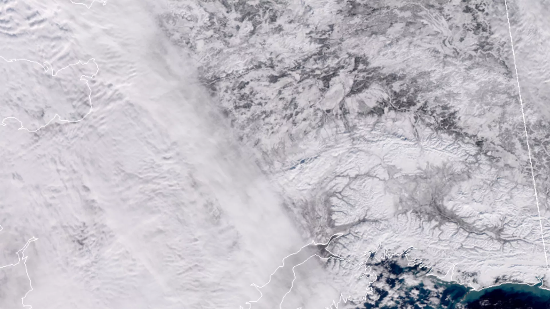
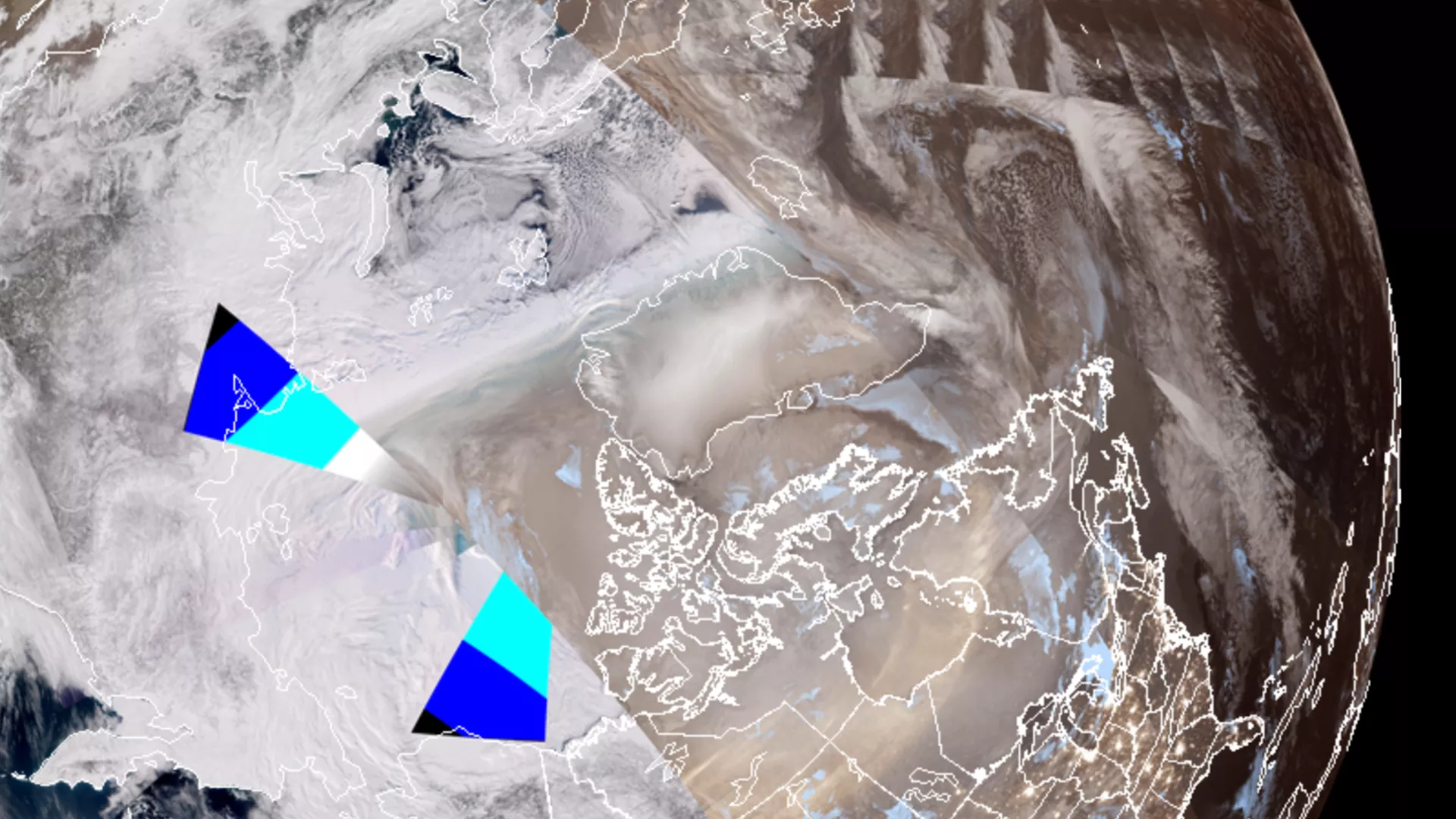
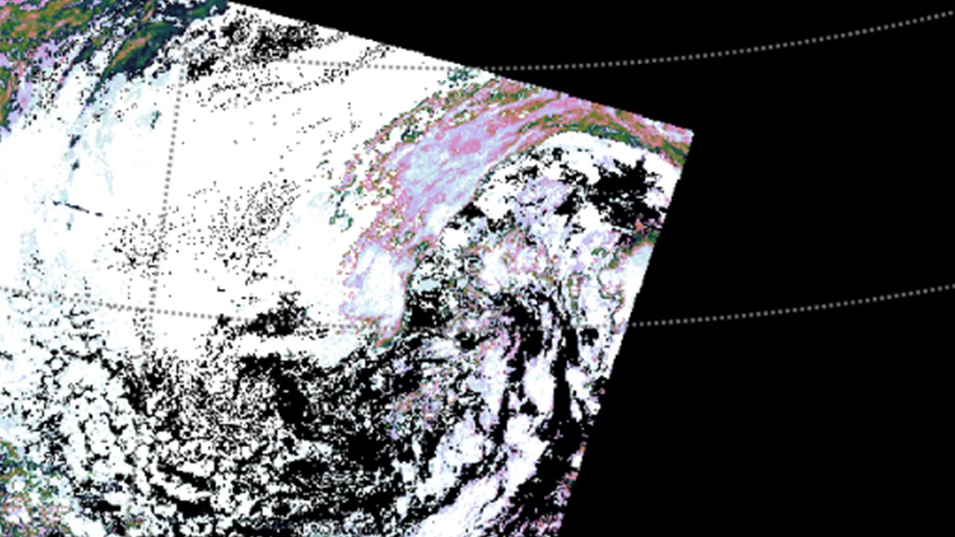
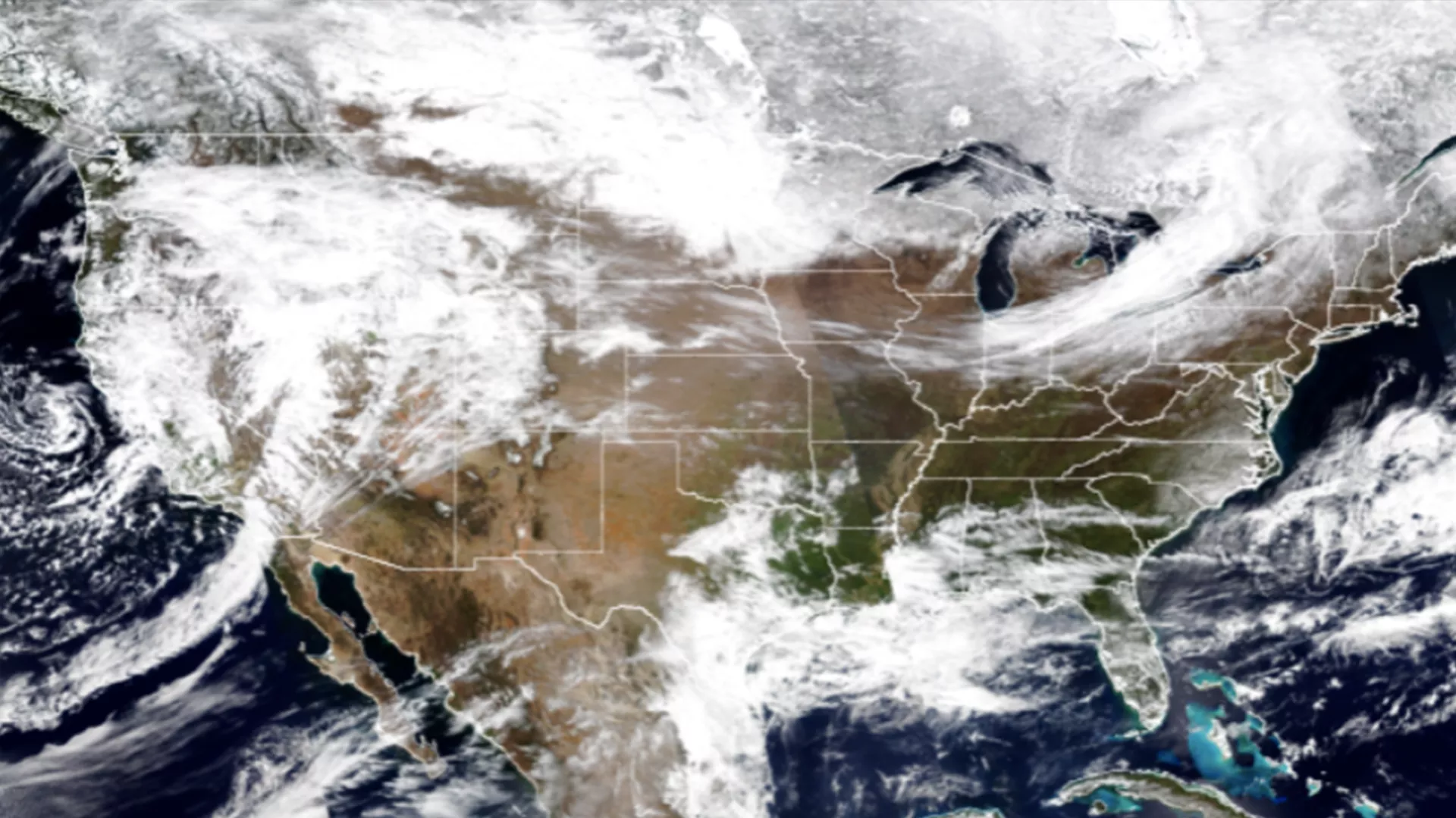
JPSS Near-Real-Time Imagery
Satellite Blogs
CIMSS Satellite Blog
Examples of meteorological satellite imagery and products that are available to (or created by) scientists and researchers at NOAA’s Cooperative Institute for Meteorological Satellite Studies.
Visit Blog CIMSS Satellite Blog
Meteorological Interpretation Blog
Intended to open the doors of communication between the Operational, Academic and Training Meteorology communities.
Visit Blog Meteorological Interpretation Blog
Satellite Liaison
This serves as a vehicle to demonstrate the current and future capabilities of these JPSS and GOES-R programs.
Visit Blog Satellite Liaison
Wide World of SPoRT Blog (NASA SPoRT)
“Wide World of SPoRT” is a collaborative blog to facilitate dialog and an exchange of information on the real-time use of NASA data and research technologies to improve short-term weather forecasting.
Visit Blog Wide World of SPoRT Blog (NASA SPoRT)
Other Links & Resources
VISIT- FDTD Satellite Application Webinars
The primary mission of VISIT is to accelerate the transfer of research results based on atmospheric remote sensing data into National Weather Service operations using distance education techniques.
Visit the Webinars VISIT- FDTD Satellite Application Webinars
COMET: Education & Training Catalog
Once users click on the link, users can type 'JPSS' in the search engine to find JPSS related training modules.
Visit COMET COMET: Education & Training Catalog
Geographic Information Network of Alaska (GINA)
This is one of the few research institutes in the United States where scientists study a wide spectrum of geophysical processes ranging from the center of the earth to the center of the sun and beyond. It has many training resources to take advantage of.
Visit GINA Geographic Information Network of Alaska (GINA)
Satellite Foundational Course for JPSS (SatFC-J)
Thirteen training modules to bring forecasters, and the scientific community up-to-date on the capabilities of the JPSS/NOAA-20 satellite.
Visit SatFC-J Satellite Foundational Course for JPSS (SatFC-J)
VISIT Teletraining Calendar for NWS Users
VISIT teletraining session you’re interested in to see more details, including the link to the student guide.
View the Calendar VISIT Teletraining Calendar for NWS Users
VIIRS Products (NASA SPoRT)
Short-term Prediction Research and Transition is an activity to transition experimental/quasi-operational satellite observations and research capabilities to the operational weather community.
View Products VIIRS Products (NASA SPoRT)
JPSS Training Workshops and Short Courses
The JPSS Program Science Team and its partners host regular opportunities for interested parties to learn more about how to use JPSS data.
Past Workshops and Short Courses
-
Mar 18, 202412:00pm - 1:00pmKansas City Center Weather Service Unit will provide a brief introduction of the FAA's…
-
Feb 12, 202412:00pm - 1:00pmNASA GSFC’s Famine Early Warning System’s Network Land Data Assimilation System
-
Jan 29, 20248:00pm - 10:00pmPlease join us for a fun, informal evening of making connections with some of the leading…
-
Jan 28, 20248:00am - 3:45pmParticipants will learn how to access GOES-R and JPSS satellite data and use the tools available…