
Satellites are important tools for tracking and studying aerosol particles in the atmosphere made of dust. These particles can not only affect human health and safety, but can also affect the weather and climate by cooling or warming the Earth as well as enhancing or preventing cloud formation.
Additionally, dust can be a source of nutrients for both continental and maritime ecosystems. For example, dust from the Sahara desert is believed to help fertilize the Amazon rainforest across the Atlantic, and minerals such as iron and phosphorus are known to benefit marine biomass production in parts of the oceans lacking these elements. Despite this, dust can also damage crops and increase soil erosion as well as impact irrigation canals, transportation routes, water quality, and solar power output. Thus, it is important to know where dust is moving to and where it may settle.
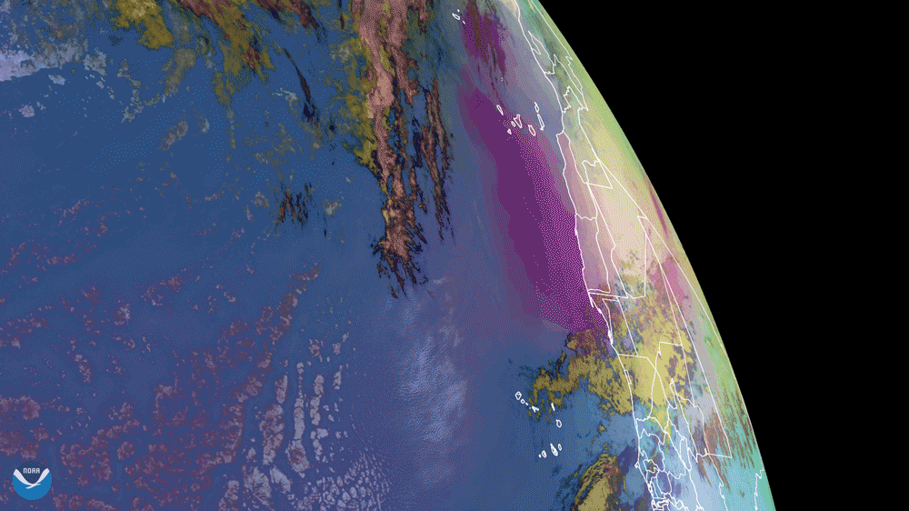
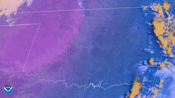
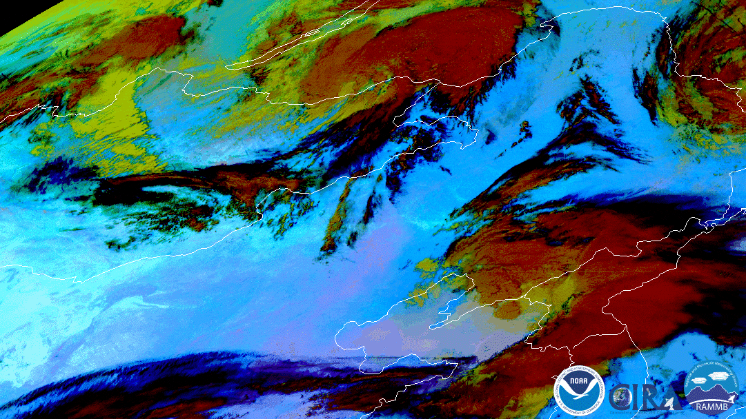
Since dust is composed of mineral particles that absorb and reflect light and that may remain suspended for days or even weeks in the air, it can be detected by satellites monitoring the planet. However, sometimes it is difficult to differentiate dust from other things such as clouds, smoke, and darkness in satellite imagery. Luckily, scientists have discovered that by combining different satellite channels in various ways, the resulting RGB imagery products make the dust stand out in false-color. Some examples of these imagery products include the Dust RGB product and the Dynamic Enhancement Background Reduction (DEBRA)-Dust.
More Articles on Dust
-
NOAA-20 catches orange skies and dusty ski slopes plagued Europe during the first weekend of…
-
GOES East satellite see a dust storm blow from the northern coast of Mari Menuco Lake, Argentina,
-
On Oct. 11, 2020, NOAA’s GOES-East satellite watched a huge wall of dust blow more than 300 miles…