
July 21, 2020
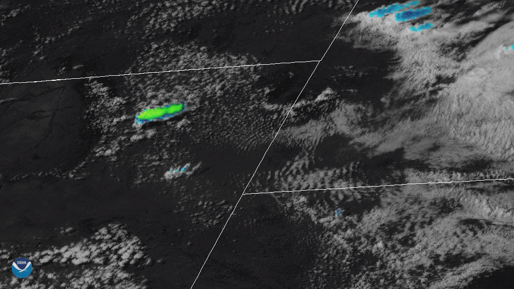
On July 19, 2020, NOAA’s GOES-East satellite viewed clusters of supercell thunderstorms sliding across eastern Wyoming. Supercells, according to the National Weather Service, “are perhaps the most violent of all thunderstorm types, and are capable of producing damaging winds, large hail, and tornadoes.” This time around, Wyoming’s residents took quite a beating, with hail reports occurring well into the following day.
Several areas in Wyoming, including Campbell and Devil’s Tower, reported severe hail on Sunday evening. Spotters on the ground recorded hail over 2 inches in diameter--about the size of billiard balls--in the Pine Ridge Reservation. In Lance Creek, softball-sized hail fell for up to 15 minutes; in nearby Lusk, the hail was big enough to damage windows and dent cars.
The GOES-East geostationary satellite, also known as GOES-16, keeps watch over most of North America, including the continental United States and Mexico, as well as Central and South America, the Caribbean, and the Atlantic Ocean to the west coast of Africa. The satellite's high-resolution imagery provides optimal viewing of severe weather events, including thunderstorms, tropical storms, and hurricanes.