
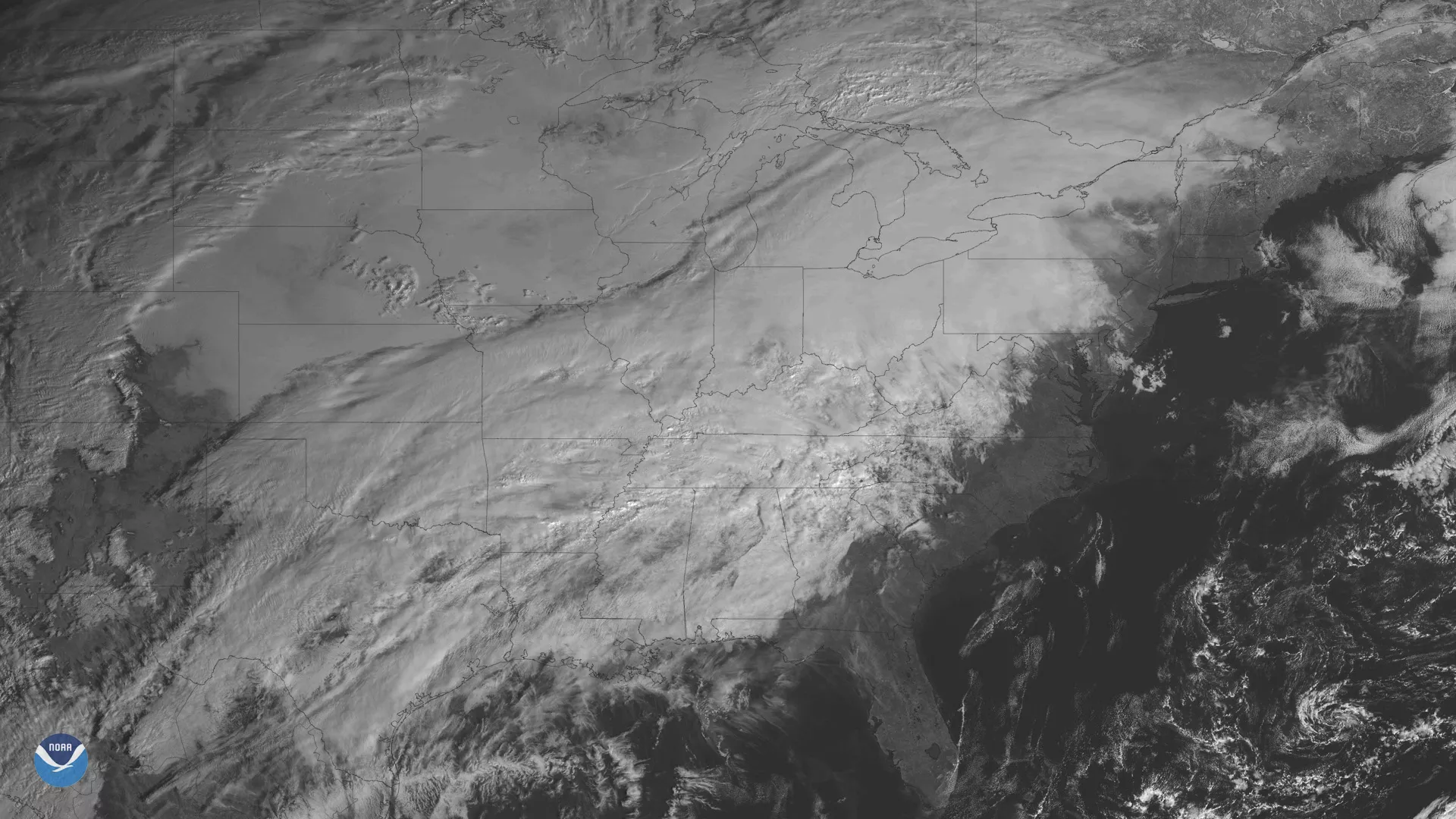
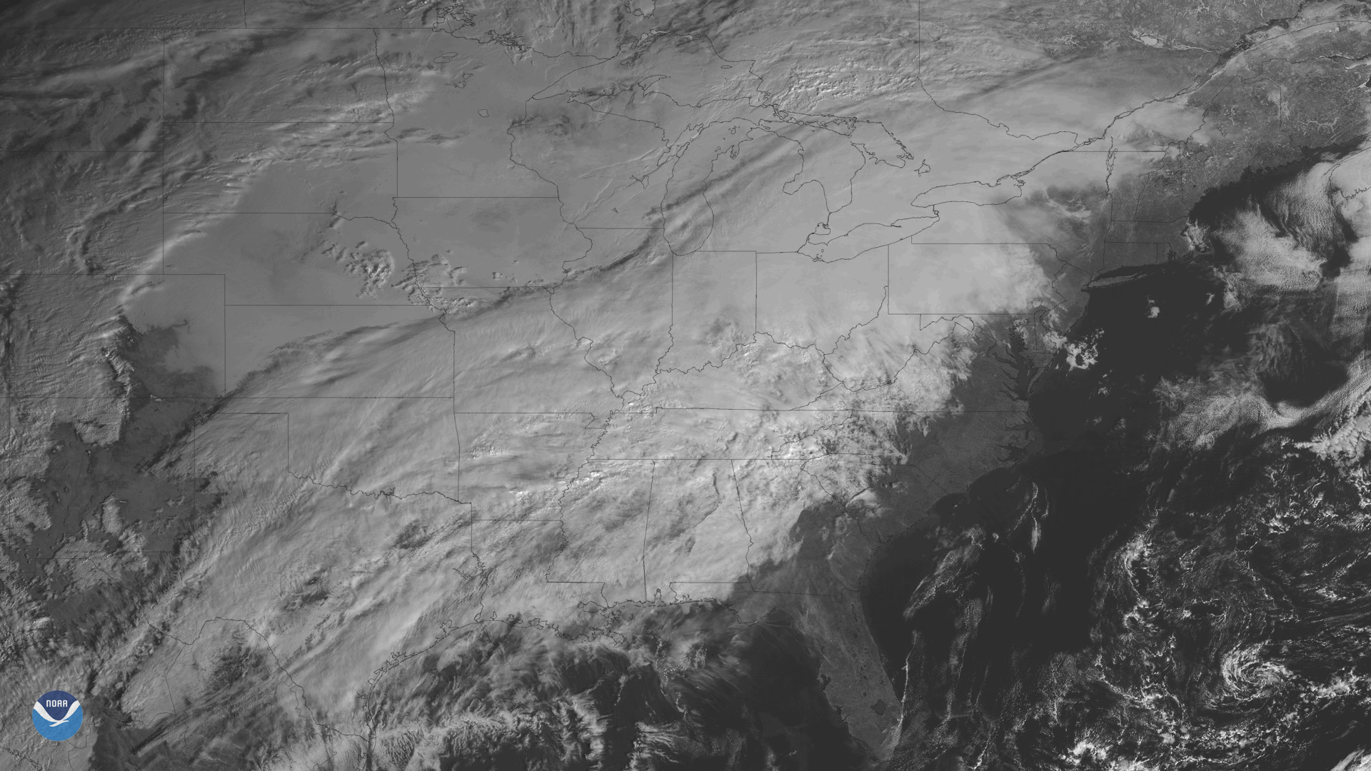
Clouds blanket much of the central and eastern United States as a sprawling winter storm moves across the country. This image, seen by NOAA's GOES East satellite on Feb. 6, 2019 (10 a.m. ET), shows the developing storm system that is bringing a mix of rain, snow and ice to many states east of the Rockies.
On Wednesday, heavy snow spread from the Northern Plains and Upper Great Lakes toward New England. The National Weather Service reported widespread snow totals of 5 to 10 inches across southern Minnesota and northern Wisconsin over the past 24 hours.
Farther south, heavy rain and areas of flash flooding are possible in the Mid-Mississippi and Ohio Valleys on Wednesday into Thursday. Flood watches are currently in effect across Kentucky, southern Indiana and southern Ohio. According NOAA's Weather Prediction Center, areas from the Ohio Valley to the Mid-Atlantic will see above-normal temperatures until a slow-moving arctic front ushers in much colder air by the weekend.
This image is from the Band 2 visible channel on the GOES East Advanced Baseline Imager. This imaging channel can only be used during daytime hours but has a wide range of uses. It can help forecasters monitor the depths of clouds, detect fog, snow and ice cover, as well as provide high-resolution imagery of severe weather like hurricanes and tropical storms.