
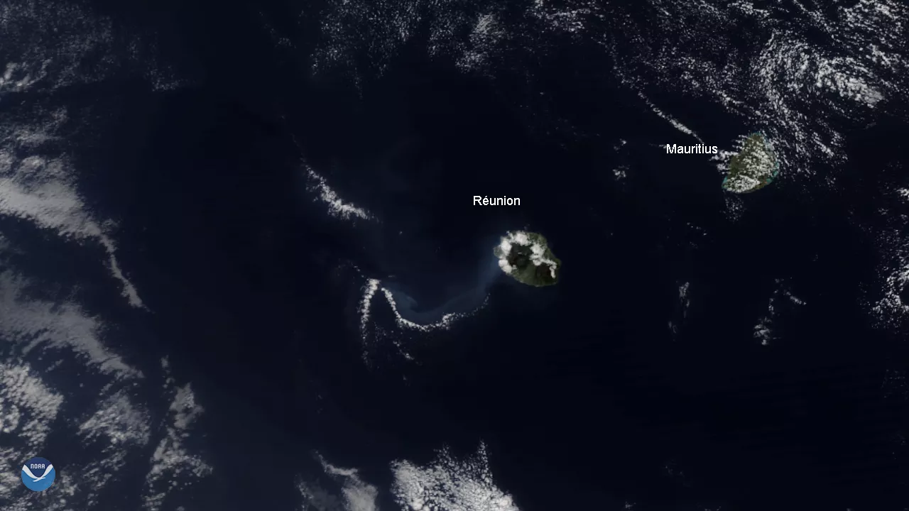
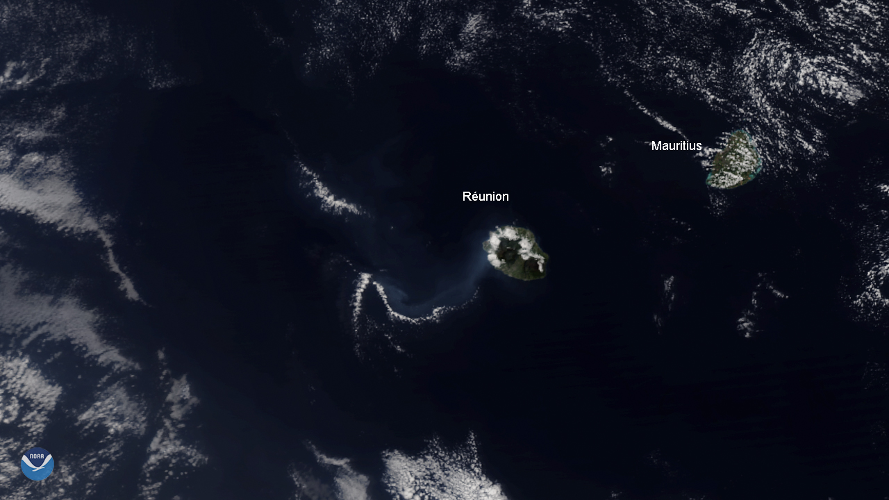
The NOAA-20 satellite spied the Piton de la Fournaise volcano on Réunion Island, off the Eastern coast of Madagascar, erupting for the fourth time this year on Aug. 15. The first eruption, which lasted for 20 days, occurred between February and March, followed by brief eruptions in June and July that lasted less than a full day. It is known as one of the most active volcanoes on the planet, outranked only by Kilauea on Hawaii and Etna in Italy.
The eruption began on Sunday, Aug. 11, around 4 p.m. local time after powerful tremors rocked the island earlier that morning. Rivers of lava spewed out from two fissures on the mountain’s east side.
On Tuesday, Aug. 12, the Volcanological Observatory Piton de la Fournaise (OVPF) said one of the two fissures had stopped oozing lava, though three distinct streams from the active fissure merged into one as they flowed, burning local vegetation and causing fires. OVPF also recorded landslides near the volcano’s top cone.
On Thursday, Aug. 15, activity ceased for roughly four hours before resuming. By Friday, Aug. 16, the eruption paused again following a period of 6 hours of pulsating gas emissions. It is currently unknown if the eruption has ended or if it will resume again.
Access to the area is closed to the public and aircraft until further notice. Surrounding areas are uninhabited and there is no immediate danger to residents.
This true-color image was captured by the VIIRS sensor onboard NOAA-20, which provides daily, high-resolution visible and infrared images of Earth's atmosphere from across the globe.