

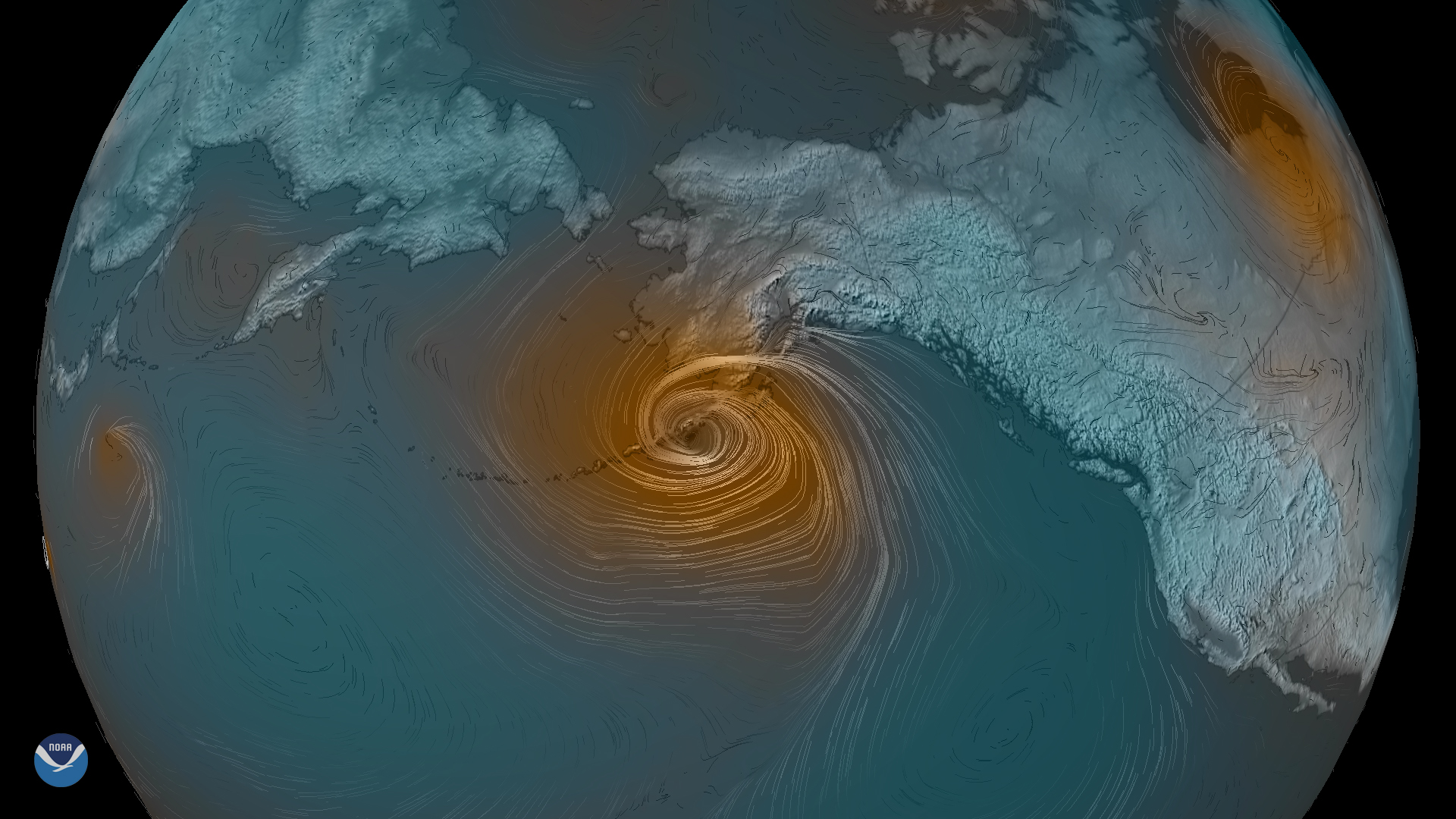
A rapidly developing low-pressure storm system is moving north over the Pacific Ocean toward southern Alaska. According to experts from the National Weather Service, this is a somewhat typical storm for the region, and is expected to bring strong wind, rough seas and rain to the area.
Seas as high as 40 feet are expected, with sustained storm force winds that may reach roughly 60 mph or more. Localized gusts to hurricane-force winds may occur through Portage Pass, as well as along Turnagain Arm and the Hillside above Anchorage.
Widespread precipitation in marine zones and coastal areas of the Alaska Peninsula, Kodiak Island and the Kenai Peninsula is predicted through Wednesday. Storm warnings are also in effect along with gale warnings and small craft advisories ranging from the Aleutian Islands and eastward along the state’s southern coast to Ketchikan.
The image above is a combination of the Global Forecast System (GFS) model as well as the Global Winds and Pressure data sets from NOAA weatherView. These were combined via Photoshop and represent when the system will be at its strongest — tomorrow, Oct. 23, 2019.