
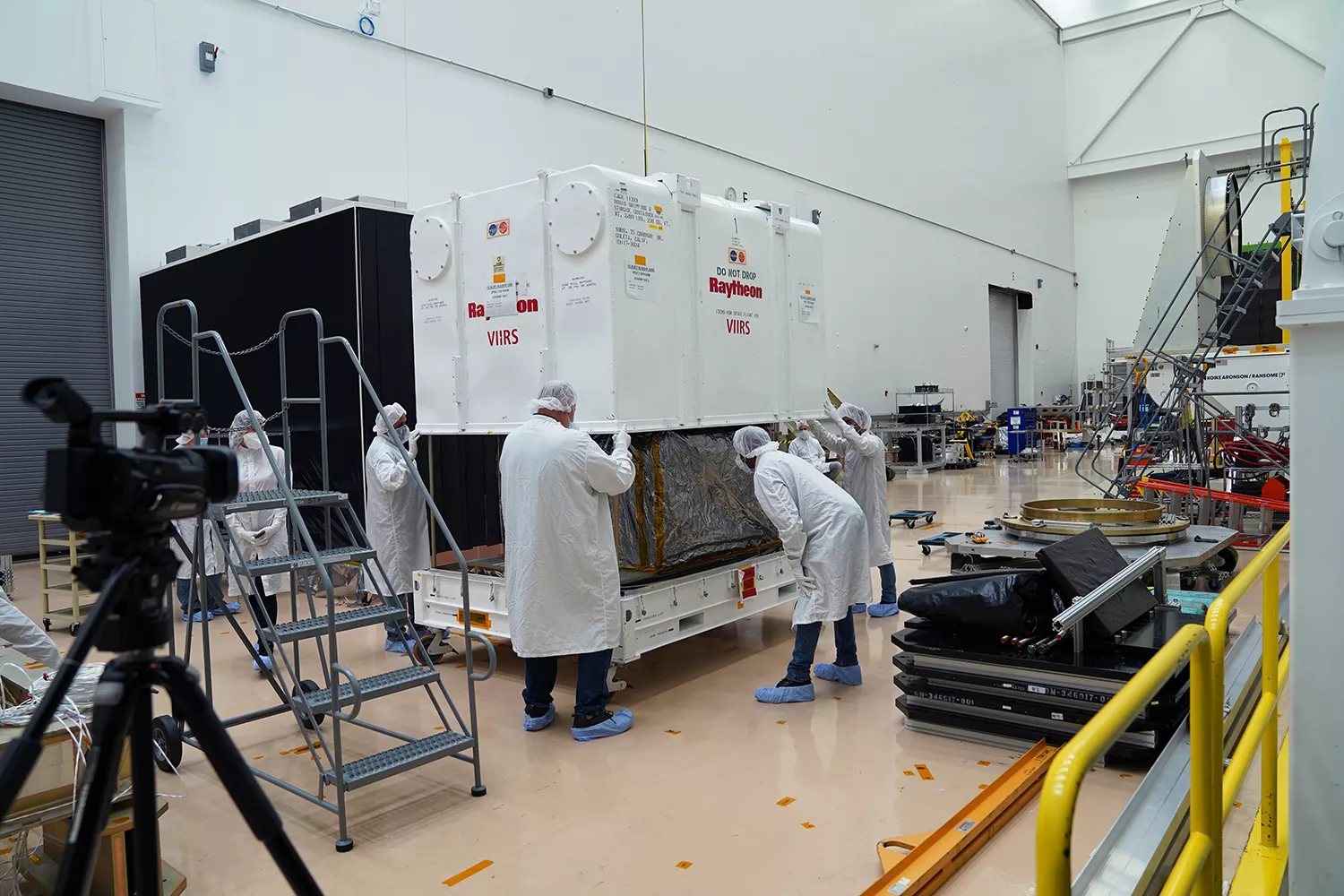
The Visible Infrared Imaging Radiometer Suite (VIIRS), the first instrument for NOAA’s next polar-orbiting weather satellite, arrived at Northrop Grumman’s spacecraft facility in Gilbert, Arizona, last week to be integrated with Joint Polar Satellite System 2 (JPSS-2).
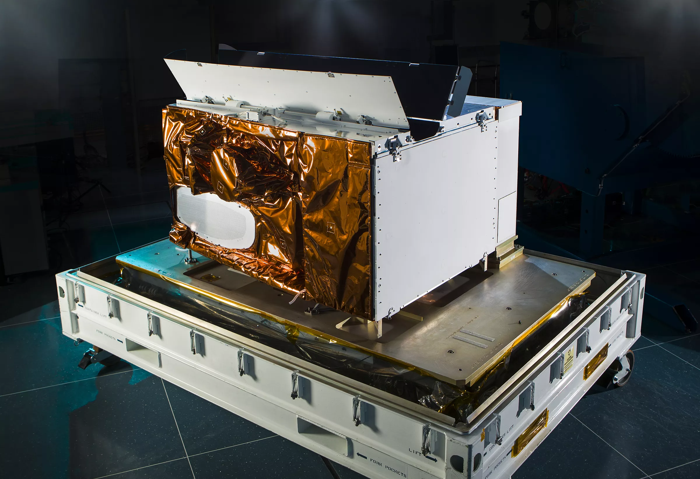
The third satellite of the JPSS series, NOAA’s JPSS-2 is preparing for launch in 2022 to continue the critical flow of weather and environmental data to users like the National Weather Service, the National Hurricane Center and more. The VIIRS instrument is the eyes of JPSS. It produces infrared images of hurricanes; identifies snow and ice cover, clouds, fog and dust; and helps locate and map wildfires. Its Day-Night Band, the satellite’s eyes at night, can distinguish between city lights, moonlight, lightning, and auroras.
A collaboration between NOAA and NASA, JPSS is the United States’ most advanced series of polar-orbiting environmental satellites. It provides significant technological and scientific advancements for severe weather prediction and environmental monitoring. These data are critical to the timeliness and accuracy of forecasts three to seven days in advance of a severe weather event.