
The Cyclone Global Navigation Satellite System, or CYGNSS, research mission will use a new technique to derive hurricane wind speeds, which has the potential to improve future operational hurricane forecasting!
On November 19, 2016, the National Oceanic and Atmospheric Administration (NOAA), with the support of its partners at the National Aeronautics and Space Administration (NASA), launched the GOES-R satellite. GOES-R is America's most advanced weather satellite to-date and will be a game changer for weather forecasting, including improved hurricane track and intensity forecasts.
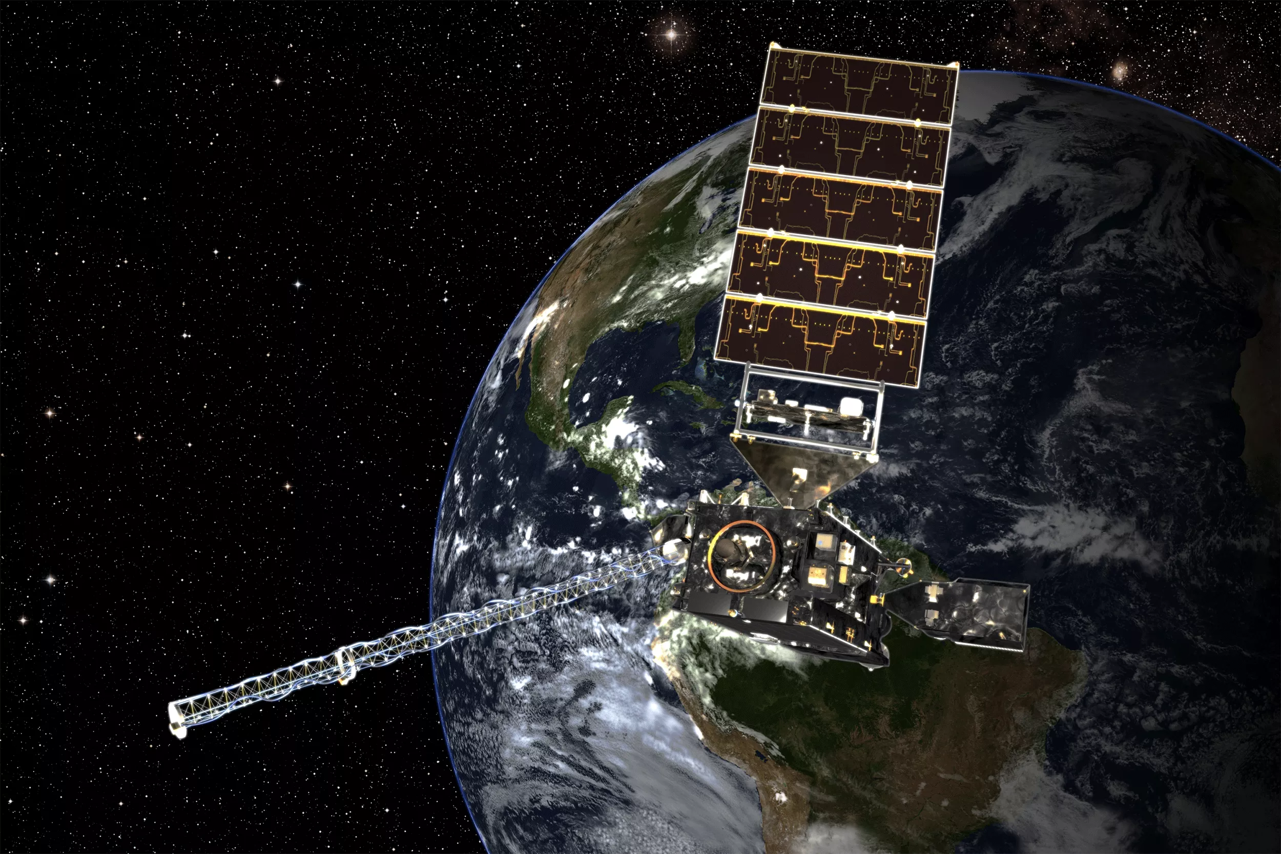
NOAA's GOES-16 satellite launched on November 19, 2016 at 6:42 p.m. EST from Cape Canaveral, Florida.
However, GOES-R, now GOES-16, is not the only new satellite launched this year to improve scientists' understanding of these awesome and potentially deadly forces of nature. NASA just launched eight new small satellites to support the cause!
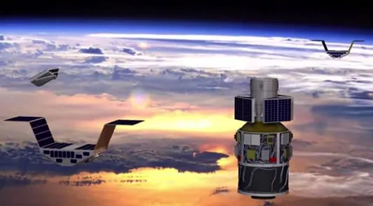
On December 15, 2016, NASA placed a constellation of eight microsatellite observatories, known as the Cyclone Global Navigation Satellite System (CYGNSS), into orbit. As their name alludes, these microsatellites use both direct and reflected signals from Global Positioning System (GPS) satellites (yup, the same ones that make your smartphone map app work) to better observe hurricane winds over the oceans.
While hurricane track forecasting has improved markedly in recent years, intensity forecasting, or predicting a storm's maximum sustained winds, has not evolved at the same rate. Measuring wind speeds in a hurricane can be very tricky, as they are not uniform throughout a cyclone, and microwave-based sensors on satellites can get scrambled by heavy rainfall. Currently, many researchers and forecasters rely on data obtained by NOAA's and the Air Force's hurricane hunter planes, which fly through the heart of these storms. These data, however, are limited to the planes' availability, range, and a specific moment in time.
The CYGNSS satellites will use a new technique to derive hurricane wind speeds and could provide greater coverage than current systems and all-weather capabilities. And while this is designated a NASA research mission, researchers at NOAA will be keeping a close eye on the data when it starts to come in. In the future, once the data has been thoroughly evaluated, they may determine how it might be incorporated operationally by NOAA forecasters. Once launched, NOAA Satellite's Ocean Winds Science Team will be leading the data calibration and validation efforts for the CYGNSS mission.
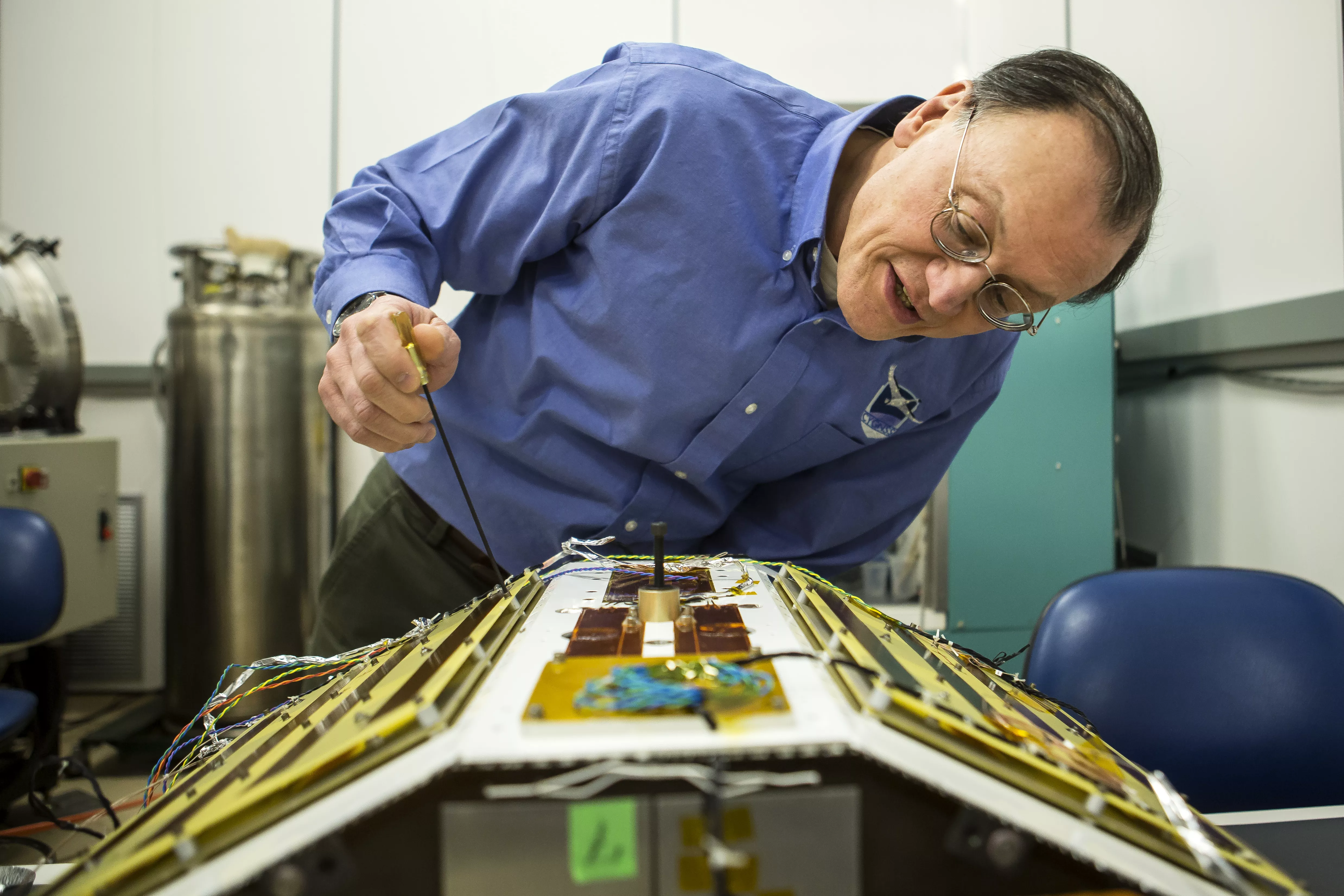
Christopher Ruf, Director of the Space Physics Research Laboratory and Atmospheric, Oceanic and Space Sciences Professor at the University of Michigan, inspects CYGNSS, February 12, 2015. Credit: University of Michigan
Since the development of the earliest weather satellites, NOAA and NASA have worked together to bring satellite research and development to operations. This partnership continues today, and has led to the development of infrared imagery, microwave radiometers, and infrared sounders—all critical instruments aboard today's operational weather satellites. Now, NOAA hopes to assess the potential operational capabilities of CYGNSS and evaluate any potential use of these satellites and their data in the future.