
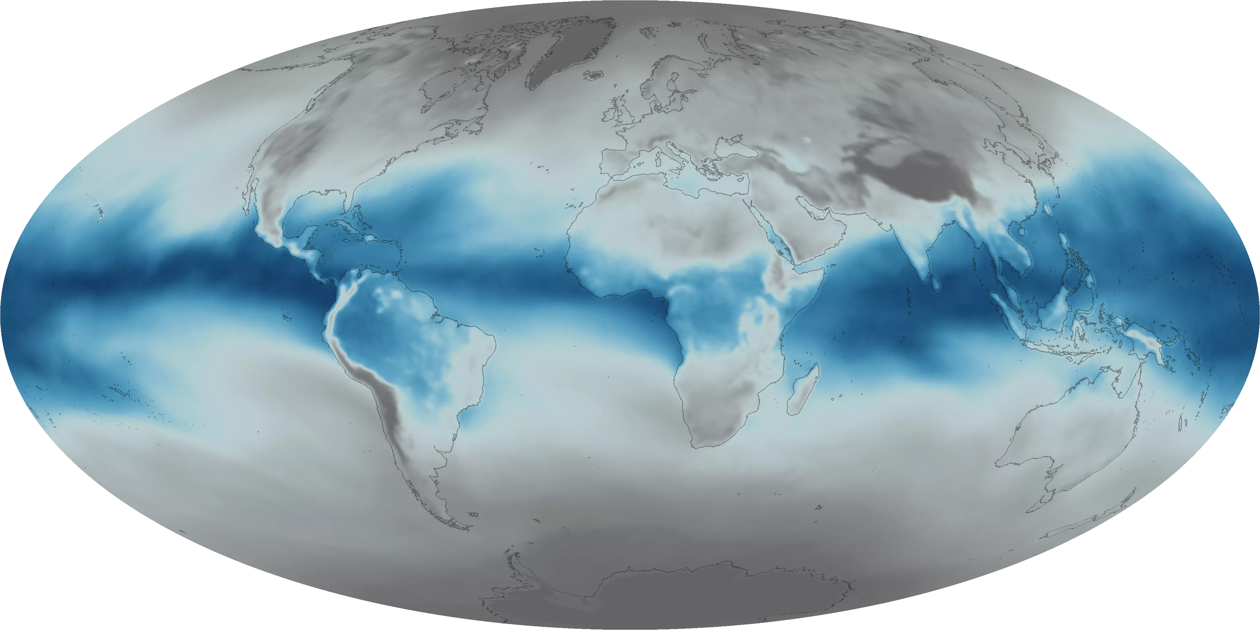
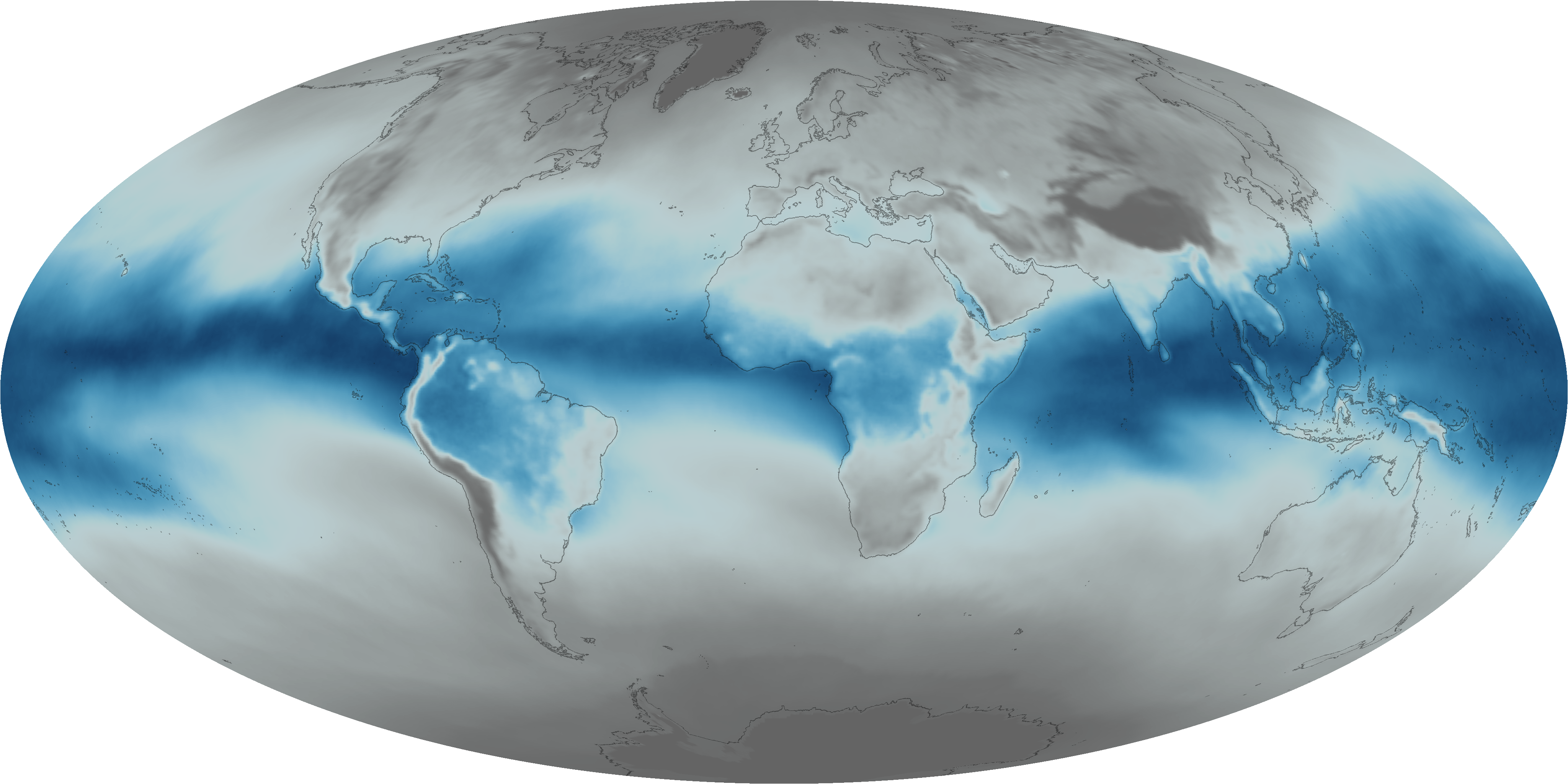
Everyday, invisible plumes of water vapor circulate through the atmosphere, and when conditions are right, they form clouds and precipitation. To see these plumes, scientists rely on satellite sensors with spectral bands capable of detecting this airborne moisture. This map plots the average total precipitable water in the atmosphere -- a measurement of how much moisture could theoretically precipitate given the right conditions. Notice the bands of moisture along the equatorial regions, which is where most moisture evaporates from the ocean into the air. Also visible are the so-called “atmospheric rivers” that transport moisture from the equatorial regions into the upper latitudes.