
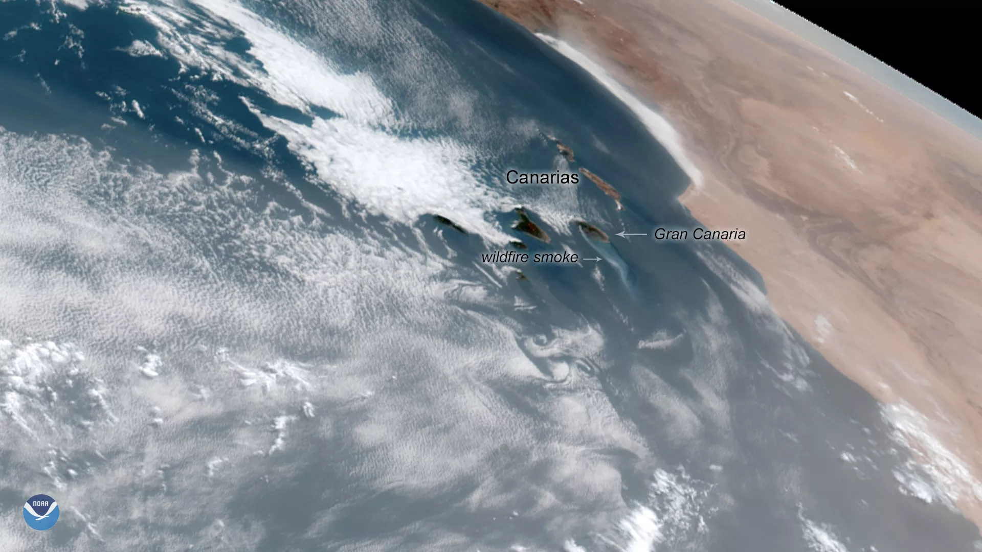
A wildfire burning on the Island of Gran Canaria in Spain’s Canary Islands is the worst in six years, authorities say. Originating near the town of Tejeda, the flames burned out of control for three days, advancing on two fronts in a mountainous area rich in dry vegetation. Here, GOES East zeroed in on smoke emanating from the island. This is the second major fire to break out on the island this month.
So far, roughly 12,000 hectares (46 square miles) have burned, and an estimated 9,000 people from 50 towns were forced to evacuate their homes. In a press conference on Monday, the incident was referred to as “an unprecedented environmental tragedy” for the popular vacation destination, which lies off the northwestern coast of Africa.
Thanks to a drop in temperature and improved wind conditions, the blaze has begun to die down, though hundreds of firefighters and 16 water-dropping planes are still struggling to contain it. Flames in some areas were reported to be more than 160 feet high, preventing the aircraft from operating overhead.
The GOES East geostationary satellite, also known as GOES-16, keeps watch over most of North America, including the continental United States and Mexico, as well as Central and South America, the Caribbean, and the Atlantic Ocean to the west coast of Africa. The satellite's high-resolution imagery provides optimal viewing of severe weather events, including thunderstorms, tropical storms, and hurricanes.