
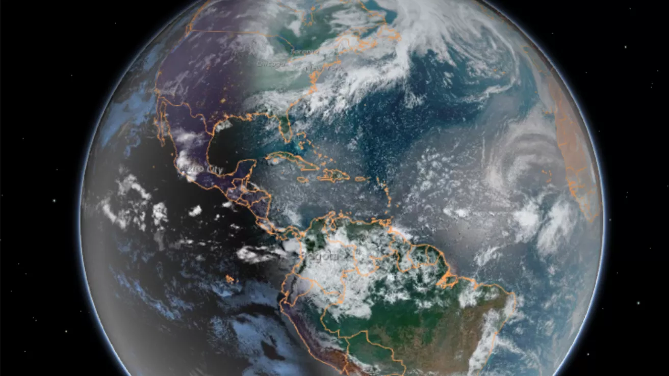
Our dynamic world is always changing. See what it looks like now from space via our live feeds.
Explore interactively Interactive Maps

NOAA celebrates 50 years of its heralded Geostationary Operational Environmental Satellite program.
Fifty Years! 50 Years of GOES
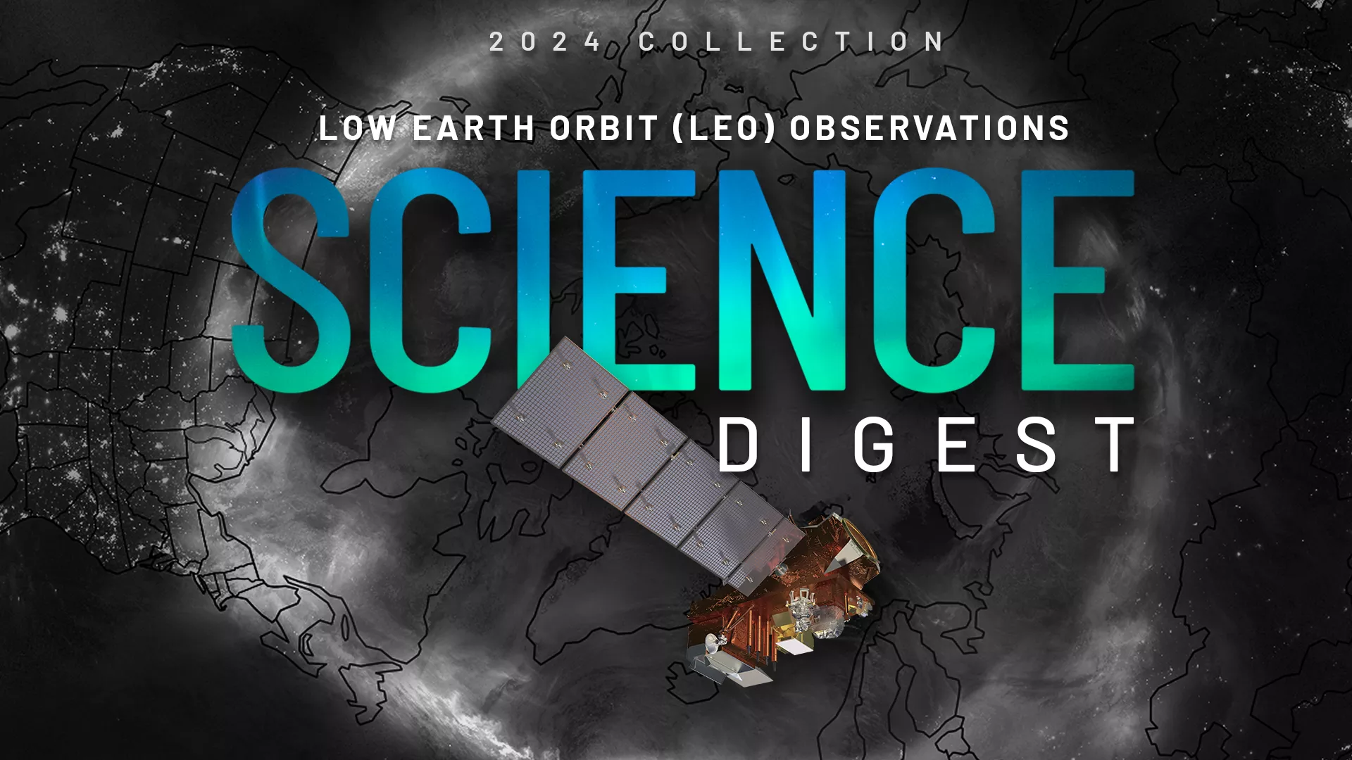
Explore the impact and applications of low earth orbit data and products.
View Digest 2024 LEO Science Digest
Feature Stories
-
NOAA satellites improve estimates of wildfire smoke, air quality predictions
-
In 2021, Hurricane Ida became the most destructive storm of the busy Atlantic hurricane season—its…
-
NOAA and NASA are now targeting November 1, 2022, as the new launch date for NOAA’s JPSS-2…
-
The Goddard Magnetometer (GMAG) instrument, launched aboard the GOES-18 satellite on March 1, 2022…
Data & New Technology
Data Purchases
NOAA is taking concrete steps to support the development of commercial markets for space-based weather data.
Visit the programs page Data Purchases
Data Collections
NOAA collects the most up-to-date data about the atmosphere, land, and oceans.
Learn about data information Data Collections
Pathfinder Initiative
Help develop studies for future applications of mission data products.
Read about pathfinder initiative Pathfinder Initiative
News & Announcements
-
A series of recent wildfires ignited or spread this past week as warm, dry, and windy conditions—a…
-
On Sept. 28, Hurricane Ian made landfall near Cayo Costa in southwestern Florida as a dangerous,…
-
On August 19, the JPSS-2 satellite arrived by transport truck to the Vandenberg Space Force Base in…
-
Hurricane Fiona, the first major (Category 3+) storm of the Atlantic hurricane season, has been…
-
NESDIS today announced nine awards totaling $13.8 million to engage the community in producing new…