A publication that highlights the broad applications and benefits of low earth orbit observations.
2025 Science Digest LEO Science Digest
SWFO-L1 will transmit data to Earth continuously in real-time, protecting vital infrastructure, economic interests, and national security.
Monitoring the sun NOAA's SWFO-L1
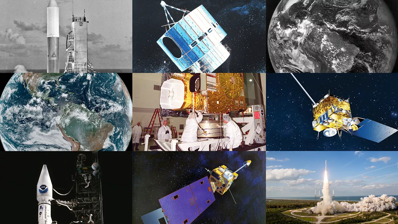
NOAA celebrates 50 years of its heralded Geostationary Operational Environmental Satellite program.
Fifty Years! 50 Years of GOES
Feature Stories
-
Feature Story
NOAA satellites helped rescue 411 people from life-threatening situations in the U.S. and its… -
Feature Story
Satellites provide scientists important data they use to manage and protect fisheries and marine… -
Feature Story
Satellite observations are vital for Alaska’s remote communities, providing critical support for… -
Feature Story
The new year has gotten off to a cold and snowy start with a polar vortex affecting much of the…
Data & New Technology
Commercial Data Program
NESDIS assesses and acquires space-based observational weather data from the private sector.
Improving weather forecasts Commercial Data Program
Data Collections
NOAA collects the most up-to-date data about the atmosphere, land, and oceans.
Learn about data information Data Collections
Joint Venture Partnerships
Leveraging new data sources and exploring new and innovative technologies.
Learn about the joint venture partnerships Joint Venture Partnerships
News & Announcements
-
Announcement
NOAA has shared the first images from the Compact Coronagraph (CCOR-1), a powerful solar telescope… -
Satellite Snapshots
On Oct. 11, 2024, the aurora borealis dazzled many across North America due to a severe geomagnetic… -
Satellite Snapshots
On Oct. 8, 2024, at 6:30 p.m. EDT, NOAA’s GOES East satellite captured this imagery of Hurricane…


