
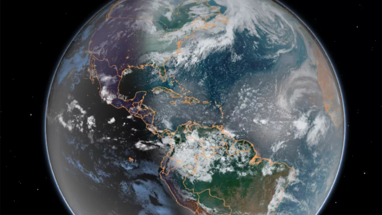
Our dynamic world is always changing. See what it looks like now from space via our live feeds.
Explore interactively Interactive Maps
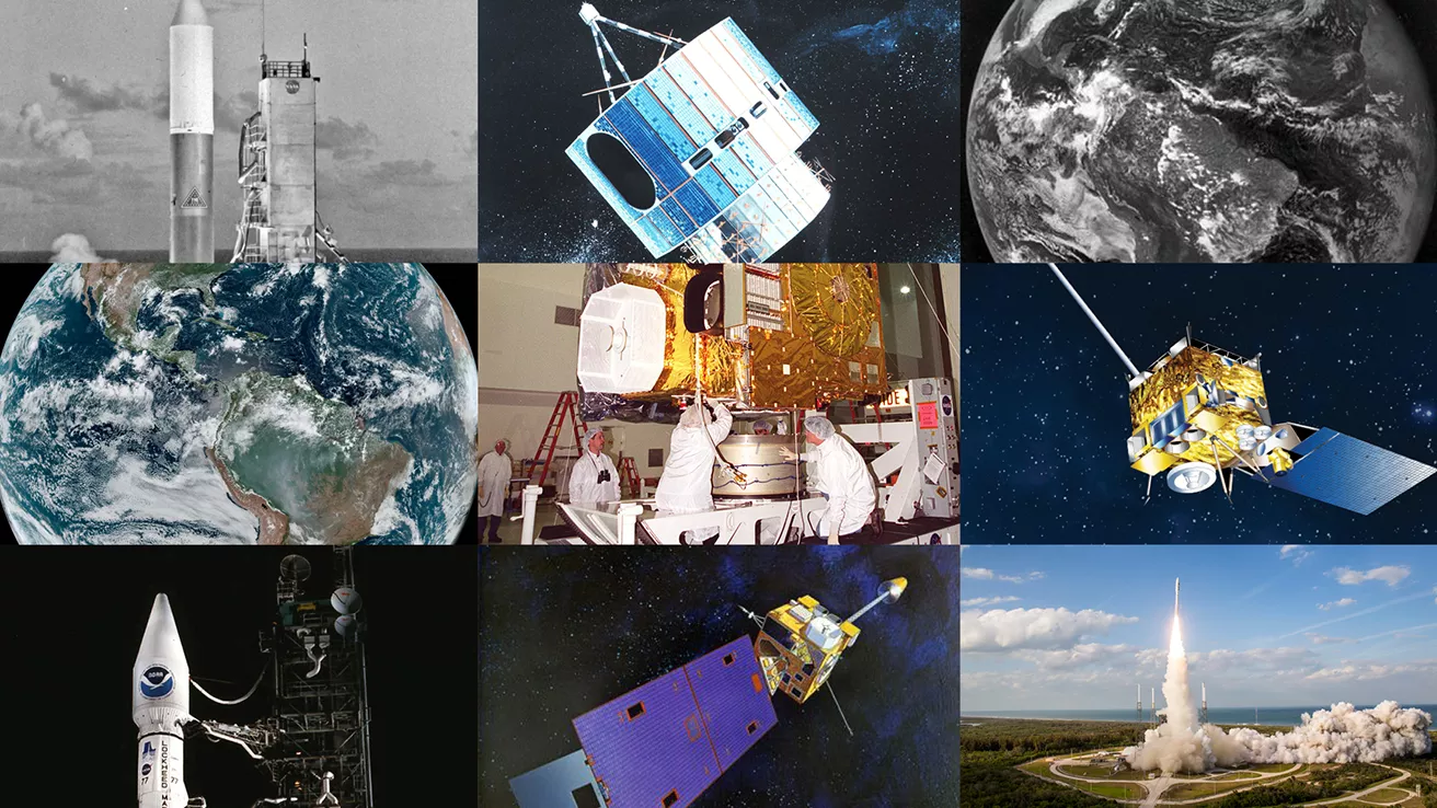
NOAA celebrates 50 years of its heralded Geostationary Operational Environmental Satellite program.
Fifty Years! 50 Years of GOES
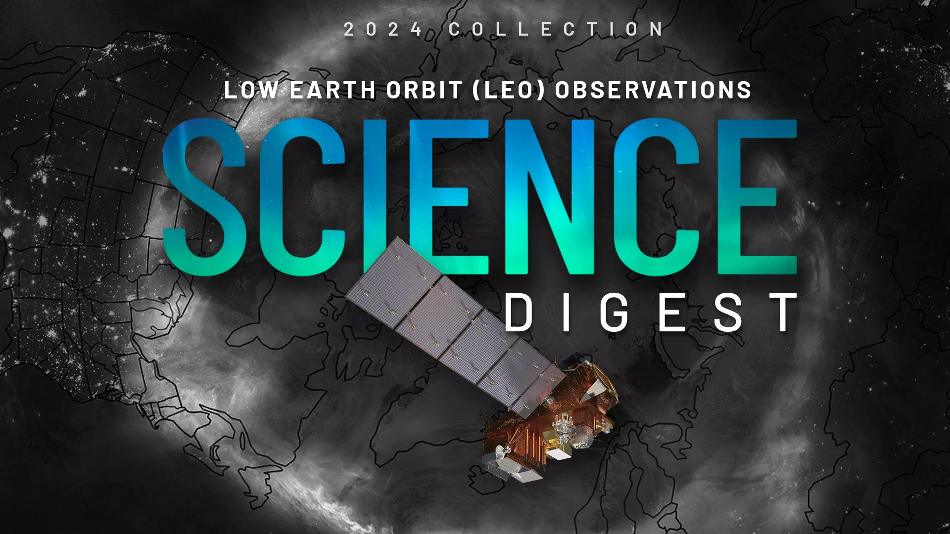
Explore the impact and applications of low earth orbit data and products.
View Digest 2024 LEO Science Digest
Feature Stories
-
NOAA and NASA are now targeting November 1, 2022, as the new launch date for NOAA’s JPSS-2…
-
The Goddard Magnetometer (GMAG) instrument, launched aboard the GOES-18 satellite on March 1, 2022…
-
The Space Environment In-Situ Suite (SEISS) instrument onboard NOAA's GOES-18 satellite is now…
-
With the upcoming launch of NOAA’s new GOES-T satellite, staff at ground stations like Wallops are…
Data & New Technology
Data Purchases
NOAA is taking concrete steps to support the development of commercial markets for space-based weather data.
Visit the programs page Data Purchases
Data Collections
NOAA collects the most up-to-date data about the atmosphere, land, and oceans.
Learn about data information Data Collections
Pathfinder Initiative
Help develop studies for future applications of mission data products.
Read about pathfinder initiative Pathfinder Initiative
News & Announcements
-
Hunga Tonga-Hunga Ha’apai, located in the South Pacific Kingdom of Tonga, has erupted three times…
-
NOAA’s Earth-observing data plays an integral role in our everyday lives. However, there is still…
-
On Jan. 13, 2022, NOAA’s GOES West satellite captured another explosive eruption of the Hunga Tonga…
-
On Jan. 1, 2022, just before 11:30 am local time, there were numerous citizen and media reports (as…
-
The Himawari-8 satellite, operated by our partners at the Japan Meteorological Agency, has been…
-
On Dec. 12, NOAA’s GOES East satellite had its eye on snow laying across northern Iowa, Minnesota,…
-
The Atlantic Basin had another busy hurricane season this year, which officially wrapped up on…