
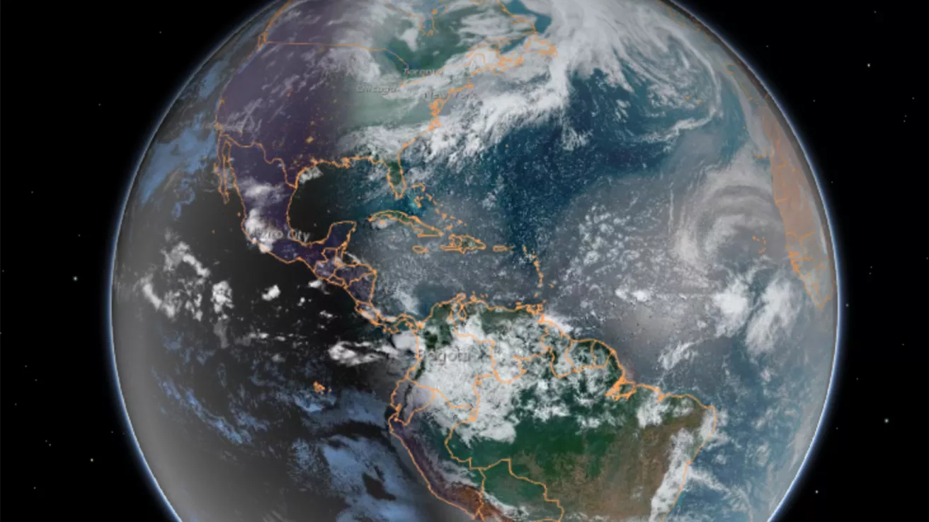
Our dynamic world is always changing. See what it looks like now from space via our live feeds.
Explore interactively Interactive Maps
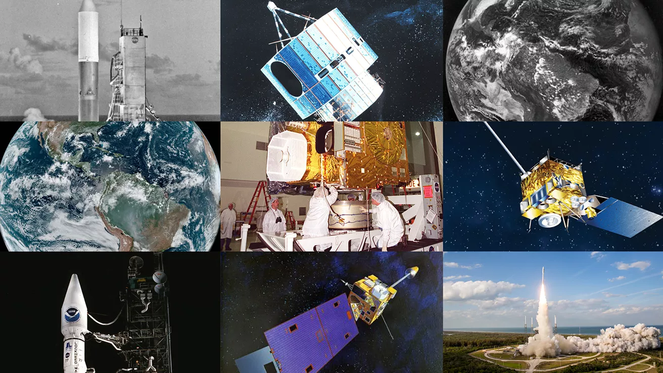
NOAA celebrates 50 years of its heralded Geostationary Operational Environmental Satellite program.
Fifty Years! 50 Years of GOES
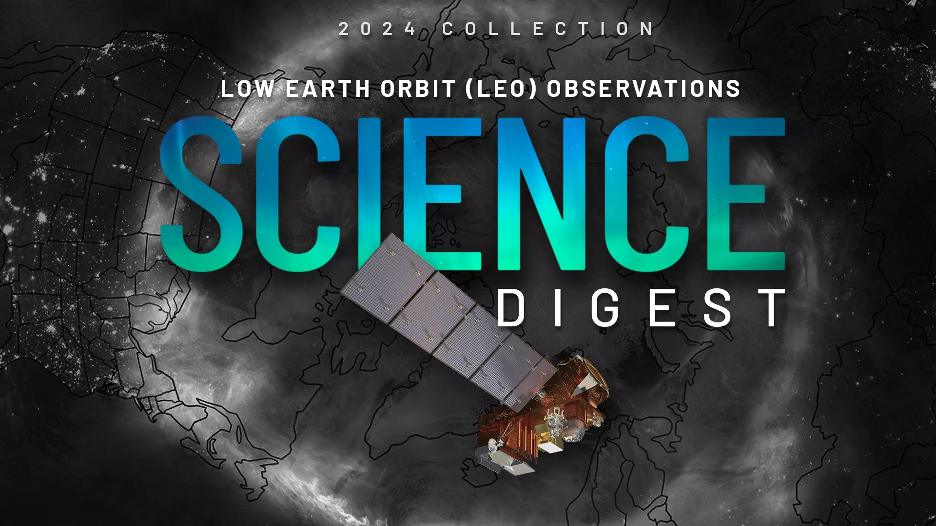
Explore the impact and applications of low earth orbit data and products.
View Digest 2024 LEO Science Digest
Feature Stories
-
Near real-time preliminary data from NOAA’s first Compact Coronagraph (CCOR-1), a powerful solar…
-
From their orbits, NOAA satellites can play a vital role in detecting and tracking severe weather,…
-
LEO satellites provide critical atmospheric, oceanic, and terrestrial data, enhancing NWS forecasts…
-
The ozone band, part of the thermal infrared spectrum, allows us to track changes in the atmosphere…
Data & New Technology
Data Purchases
NOAA is taking concrete steps to support the development of commercial markets for space-based weather data.
Visit the programs page Data Purchases
Data Collections
NOAA collects the most up-to-date data about the atmosphere, land, and oceans.
Learn about data information Data Collections
Pathfinder Initiative
Help develop studies for future applications of mission data products.
Read about pathfinder initiative Pathfinder Initiative
News & Announcements
-
NASA, on behalf of NOAA, has selected Johns Hopkins’ Applied Physics Laboratory, to build the…
-
On behalf of NOAA, NASA has selected Southwest Research Institute of San Antonio to build three…
-
As climate-driven floods intensify, VIIRS provides near real-time data to bolster global…
-
The Solar Ultraviolet Imager (SUVI) onboard NOAA’s GOES-19 satellite, which launched on June 25,…
-
NASA, on behalf of NOAA, has selected the University of New Hampshire in Durham to build Solar Wind…