

Our dynamic world is always changing. See what it looks like now from space via our live feeds.
Explore interactively Interactive Maps

NOAA celebrates 50 years of its heralded Geostationary Operational Environmental Satellite program.
Fifty Years! 50 Years of GOES
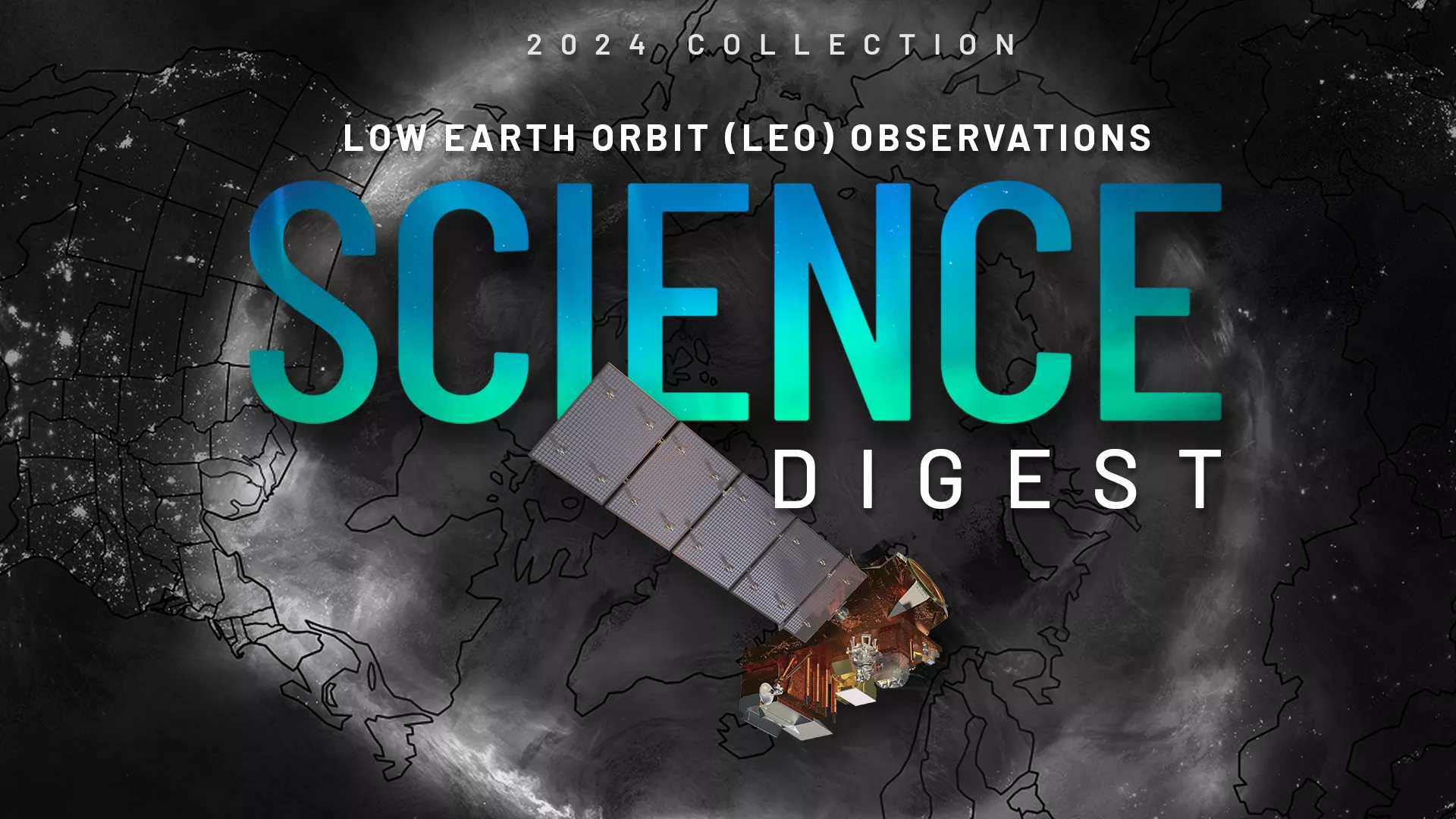
Explore the impact and applications of low earth orbit data and products.
View Digest 2024 LEO Science Digest
Feature Stories
-
For 50 years , NOAA’s Geostationary Operational Environmental Satellites (GOES) have kept a…
-
River flooding poses a serious threat to communities across the United States, endangering roughly…
-
The overarching term “tropical cyclone” describes powerful storms that form around the world, but…
-
The 2025 Atlantic Hurricane Season officially begins June 1, and NOAA’s eyes in the sky are ready…
Data & New Technology
Data Purchases
NOAA is taking concrete steps to support the development of commercial markets for space-based weather data.
Visit the programs page Data Purchases
Data Collections
NOAA collects the most up-to-date data about the atmosphere, land, and oceans.
Learn about data information Data Collections
Pathfinder Initiative
Help develop studies for future applications of mission data products.
Read about pathfinder initiative Pathfinder Initiative
News & Announcements
-
NOAA's JPSS Program satellites captured flooding along the Ohio River on April 7, 2025.
-
In January 2025, NOAA/NESDIS completed a Phase 1 of the Radio Occultation (RO) Analysis of…
-
Chris Slocum, a research scientist with NOAA NESDIS’ Center for Satellite Applications and Research…
-
NASA, on behalf of the National Oceanic and Atmospheric Administration (NOAA), has awarded a…
-
Since Jan. 31, NOAA satellites have been closely monitoring a series of strong atmospheric rivers…