

Our dynamic world is always changing. See what it looks like now from space via our live feeds.
Explore interactively Interactive Maps

NOAA celebrates 50 years of its heralded Geostationary Operational Environmental Satellite program.
Fifty Years! 50 Years of GOES
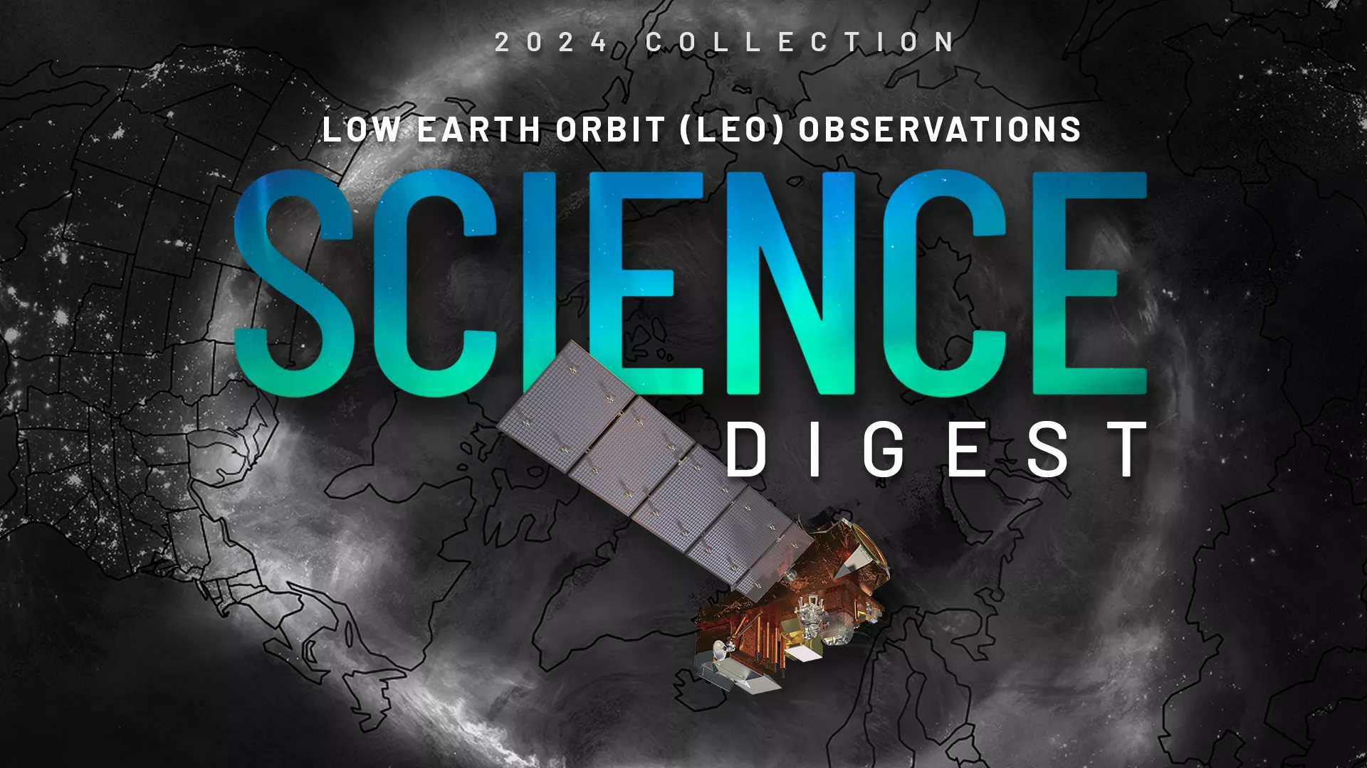
Explore the impact and applications of low earth orbit data and products.
View Digest 2024 LEO Science Digest
Feature Stories
-
April 6 is also known as 406 Day in honor of the frequency used by distress beacons. This…
-
On April 1, 1960, the National Aeronautics and Space Administration (NASA) launched TIROS-1, the…
-
NOAA satellites closely monitored a powerful and devastating storm system that tore through the…
-
Near real-time preliminary data from NOAA’s first Compact Coronagraph (CCOR-1), a powerful solar…
Data & New Technology
Data Purchases
NOAA is taking concrete steps to support the development of commercial markets for space-based weather data.
Visit the programs page Data Purchases
Data Collections
NOAA collects the most up-to-date data about the atmosphere, land, and oceans.
Learn about data information Data Collections
Pathfinder Initiative
Help develop studies for future applications of mission data products.
Read about pathfinder initiative Pathfinder Initiative
News & Announcements
-
NOAA satellites have been closely tracking Tropical Storm Francine since it formed in the…
-
On Sept. 4, 2024, the VIIRS instrument on board NOAA’s JPSS Program satellites captured this True…
-
The Space Environment In-Situ Suite (SEISS) instrument onboard NOAA's GOES-19 satellite is now…
-
Seven years ago, on August 25, 2017, Hurricane Harvey made landfall in Texas—marking the beginning…
-
The Goddard Magnetometer (GMAG) instrument, launched onboard NOAA’s GOES-19 satellite on June 25,…
-
NOAA’s GOES East (GOES-16) satellite has been carefully monitoring Hurricane Debby as it travels…
-
The 2023/2024 winter season was the warmest on record for Canada and continuing drought conditions…