
Search
Showing 17 - 24 of 53 results
Eric Leuliette, NOAA's program scientist for Sentinel-6 talks about the agency's planned use of the satellite data.
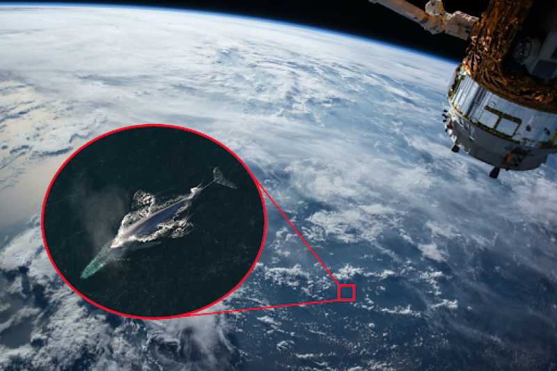
Satellites provide scientists important data they use to manage and protect fisheries and marine mammals.
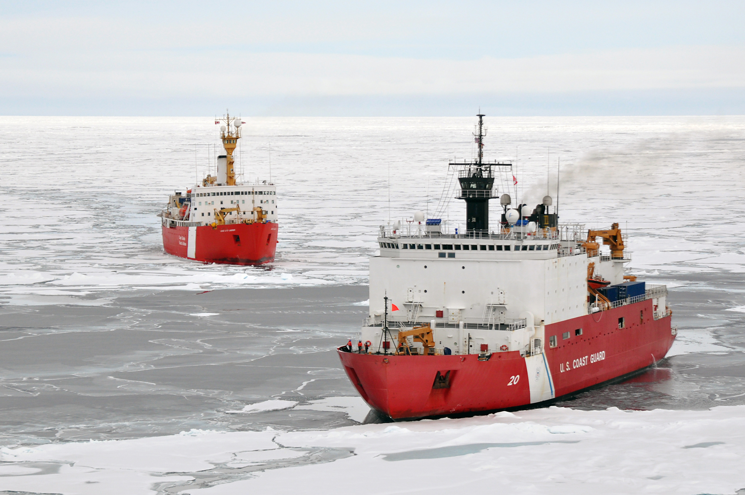
While Arctic sea ice continues to shrink, human activity in the region is only growing. Ice extent, which is monitored by…

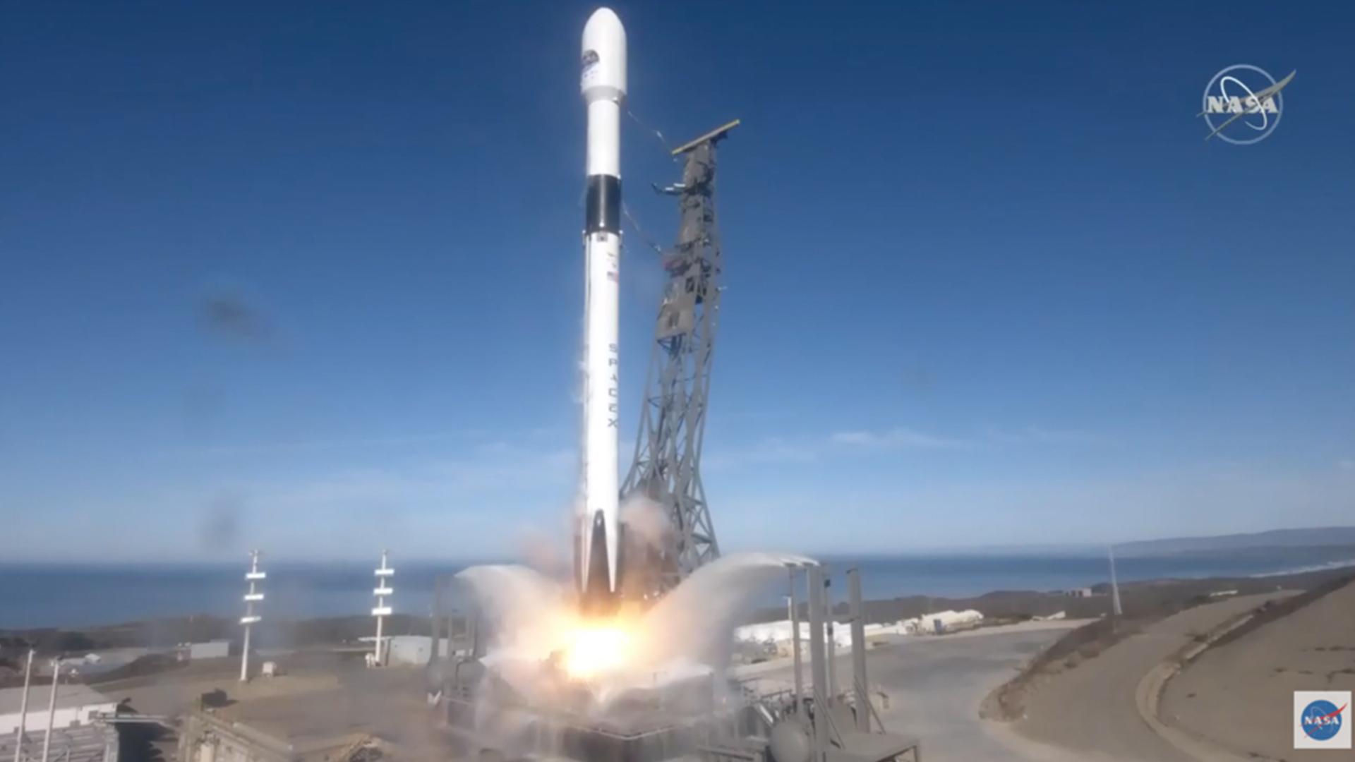
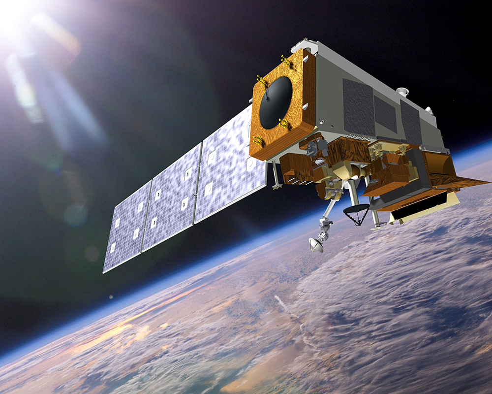
A new satellite designed to capture detailed measurements of sea-surface height and other ocean features is scheduled to…
Your cell phone isn't the only device that relies on the radio frequency (RF) spectrum. Buoys, satellites, weather…
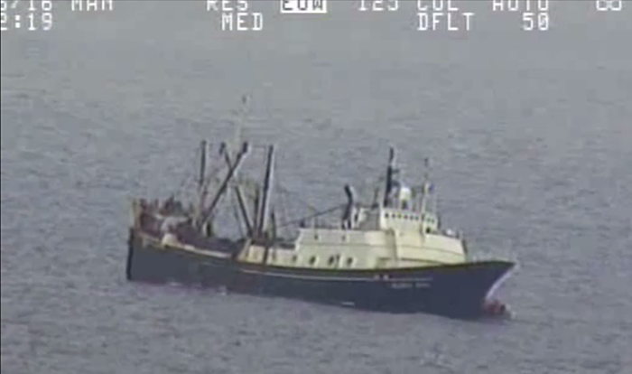
Last year, NOAA satellites assisted in the rescues of 307 people — the highest number since 2007. Coast Guard Air Station…

NOAA began monitoring sea level more than 20 years ago, with the TOPEX/Poseidon satellite in 1992. NOAA launched its newest…
The successful launch of the GOES-R (Geostationary Operational Environmental Satellite R-series), now GOES-16 satellite was…