
Search
Showing 49 - 56 of 624 results
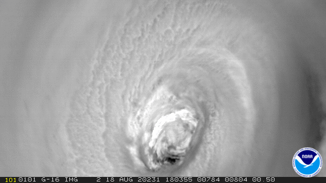
August 19, 2020 Hurricane Genevieve, as seen by NOAA’s GOES-East satellite on August 18, 2020, first appeared as Tropical…

NOAA’s GOES East satellite zoomed in on Category 1 Hurricane Dorian on Thursday, Aug. 29, 2019 over the open waters of the…

As we approach the peak of Atlantic hurricane season, activity in the tropics has ramped up.

GOES-16 captured this image of Hurricane Gert in the Atlantic Ocean on August 15, 2017, 365 nautical miles west of Bermuda…

In 2021, Hurricane Ida became the most destructive storm of the busy Atlantic hurricane season—its path of destruction…

NOAA satellites provide critical information for forecasting and tracking tropical storms and hurricanes Image Credit: Steve…

The Atlantic Basin had another busy hurricane season this year, which officially wrapped up on November 30.
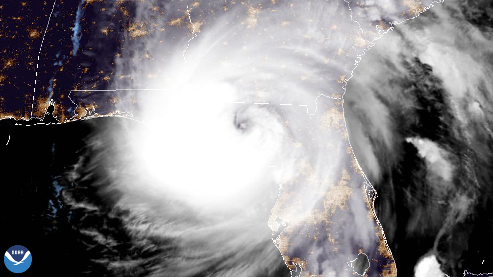
Hurricane Helene made landfall in Florida's Big Bend region at 11:10 p.m. EDT on Sept. 26, 2024.