
Search
Showing 233 - 240 of 609 results
News

As Typhoon Mawar (also called Betty in the Philippines) has been making its way across the North Pacific, NOAA satellites,…
News

A powerful low-pressure system intensifies and moves across the northern Pacific Ocean toward Alaska, winds were recorded at…
News

Jason-3, the latest in a series of satellites that tracks the rate of global sea-level rise and can help NOAA more…
News
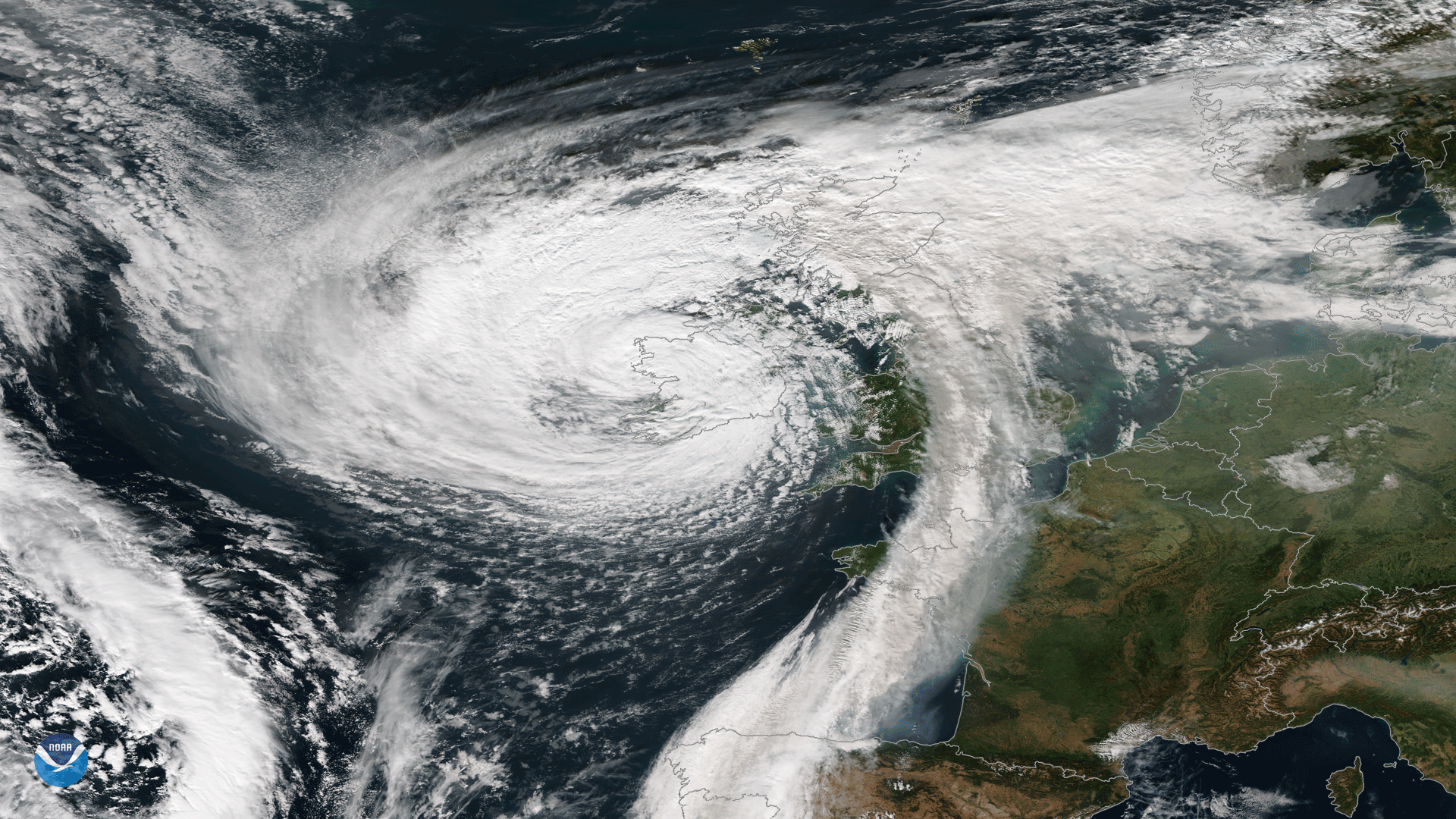
October 25, 2019, NOAA's GOES-East is keeping watch over Tropical Depression 17 in the Gulf of Mexico.
Page
This series of short videos showcases a compelling weather event, environmental hazard, or interesting phenomenon each week…
News
The Visible Infrared Imaging Radiometer Suite instrument aboard the NOAA/NASA Suomi NPP satellite captured this image.
News

GOES-East satellite captured this GeoColor imagery of an expansive plume of dust from the Sahara Desert traveling westward.
News
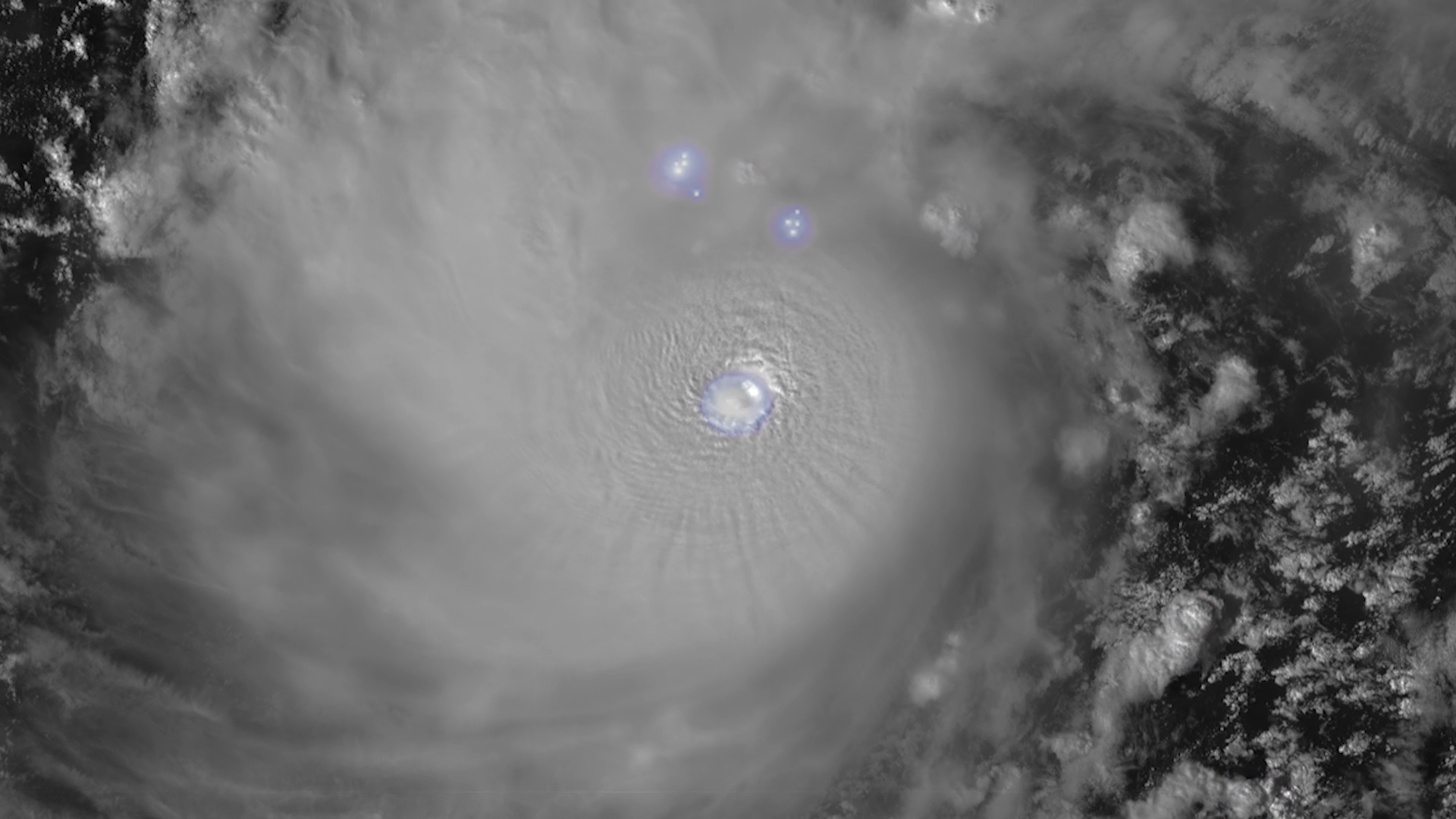
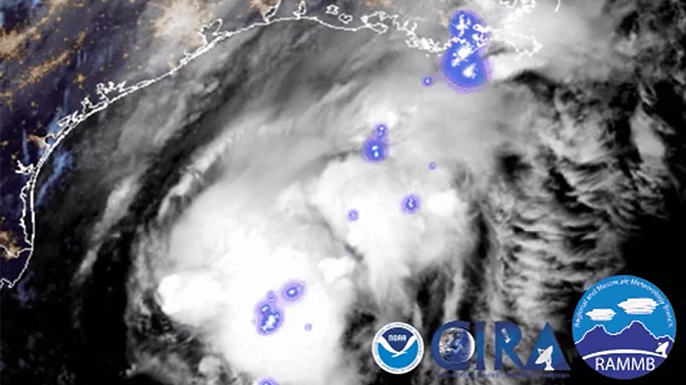
The Geostationary Lightning Mapper (GLM) instrument, onboard NOAA’s GOES-19 satellite, is now continuously observing…