
Search
Showing 121 - 128 of 311 results
News
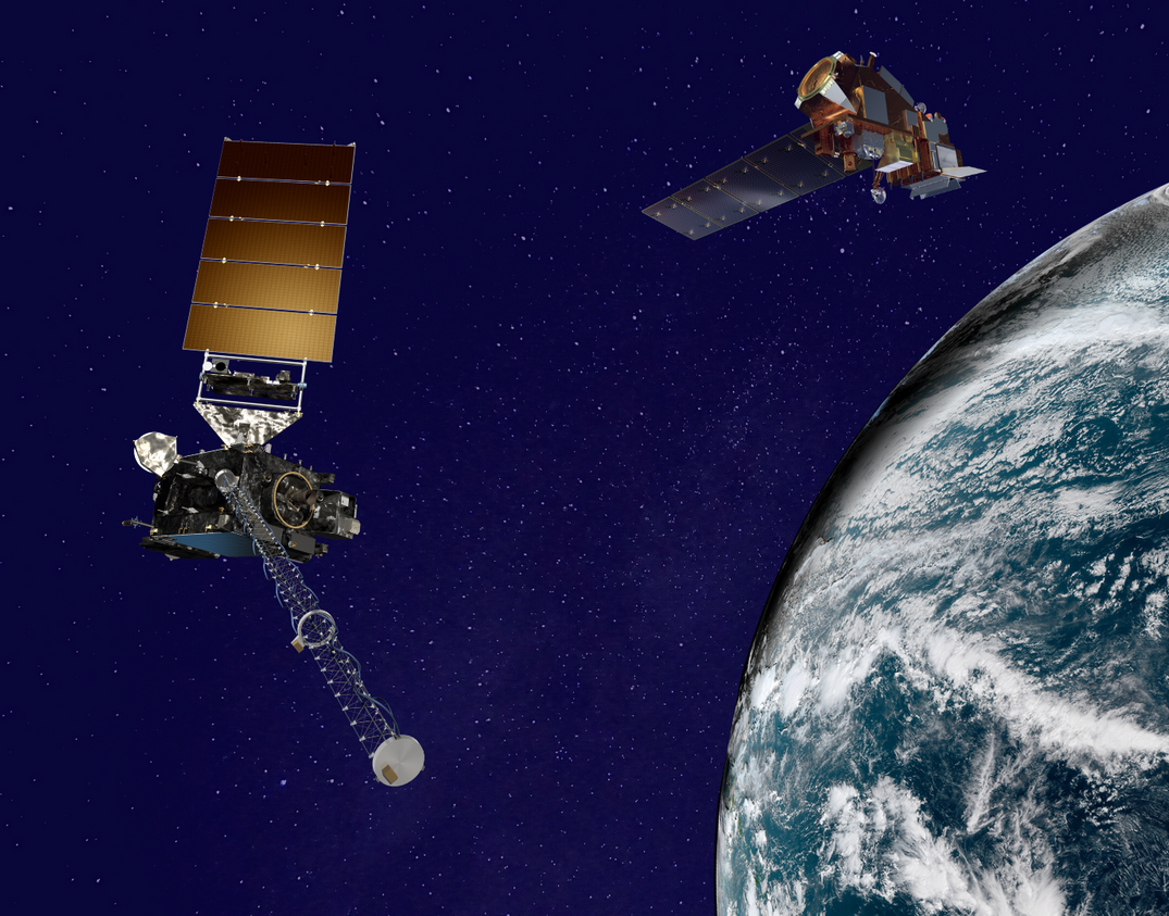
From their orbits, NOAA satellites can play a vital role in detecting and tracking severe weather, providing forecasters…
News

GOES-16 captured this geocolor image of Hurricane Franklin (now a remnant low) on the evening of August 9, 2017. According…
News

This past weekend, NOAA satellites closely monitored Tropical Storm Claudette, the third named storm of the 2021 Atlantic…
News

NOAA’s Climate Prediction Center says the 2016 Atlantic hurricane season has a chance for 10-16 named storms, of which 4-8…
News

When you spend 24/7/365 staring at Earth, you see some strange things. The NOAA GOES East satellite (GOES-16) witnessed a…
News

The 2022 hurricane season is officially underway. The eastern Pacific hurricane season began on May 15.
Event
Jun 17 2025
June 17, 25 - June 25, 25 | 09:00 AM - 13:00 PM
The American Meteorological Society (AMS) Committee on Satellite Meteorology, Oceanography, and Climatology (SatMOC) is…
News

Hurricane Florence made landfall near Wrightsville Beach, North Carolina at 7:15 a.m. ET, September 14, 2018