
Search
Showing 1 - 8 of 101 results
There are more than 1,500 potentially active volcanoes around the world, most of which are unmonitored, and roughly 500 are…
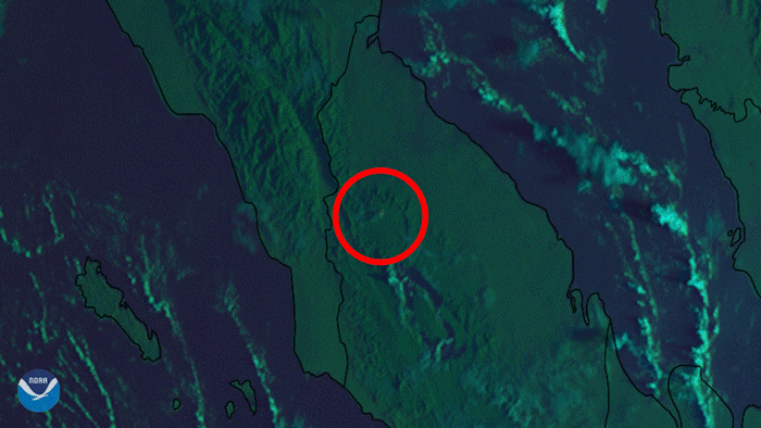
Japan’s Himawari-8 satellite saw a series of eruptions from Mt. Sinabung, in Sumatra, Indonesia.
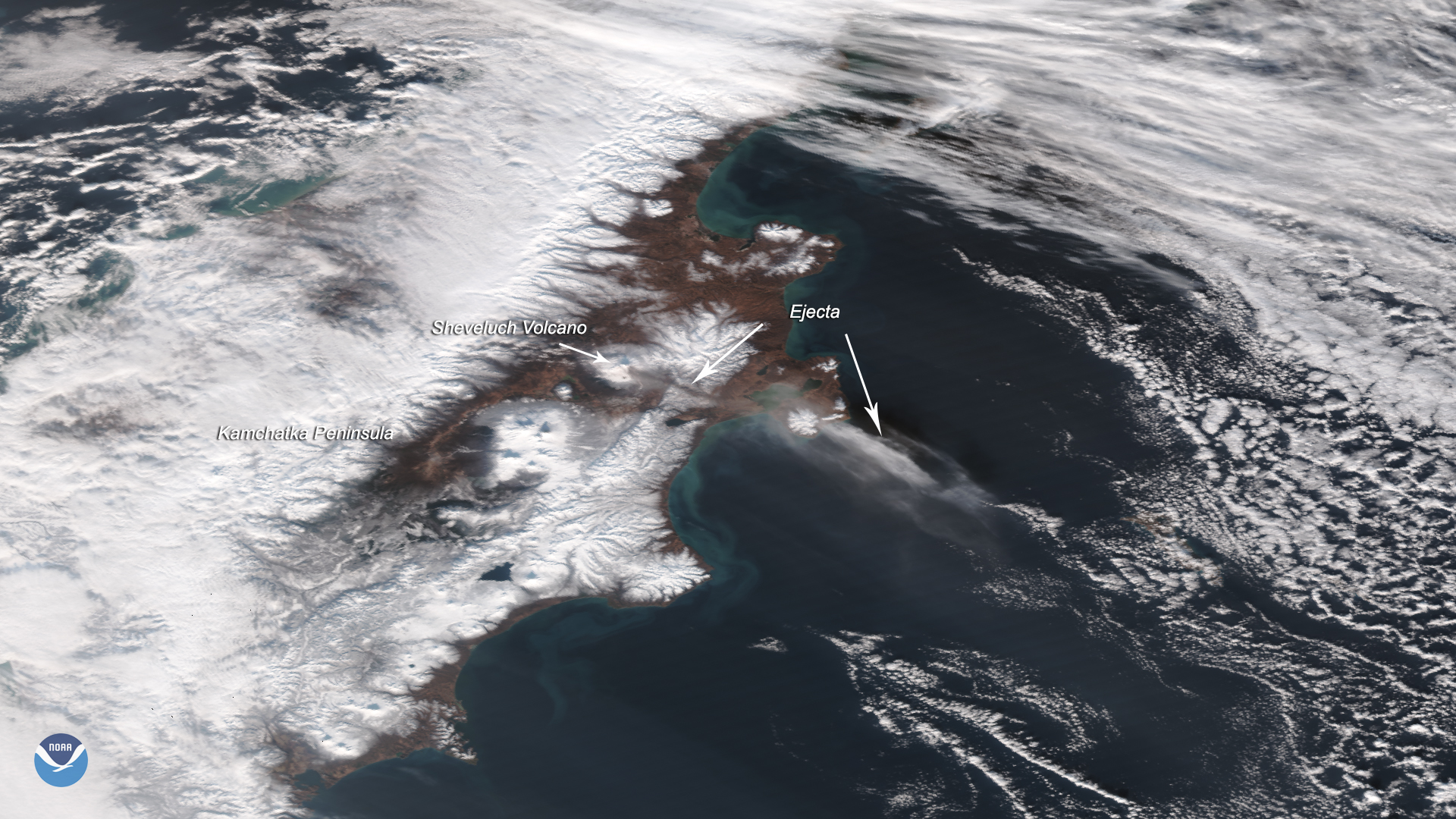
The Suomi-NPP satellite captured this image of the Sheveluch volcano erupting on Nov. 12, 2019, which affected flights over…
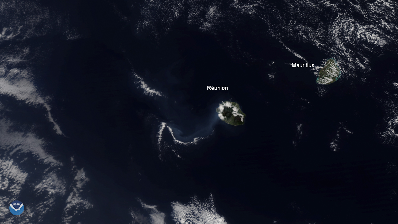
The NOAA-20 satellite spied the Piton de la Fournaise volcano on Réunion Island, off the Eastern coast of Madagascar,…
Data from polar-orbiting satellites provide forecasters with critical information on hazards like ash from volcanic…
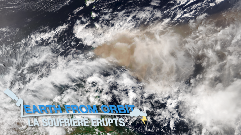
On the morning of April 9, 2021, La Soufrière volcano on the Caribbean island of Saint Vincent began erupting, spewing ash…
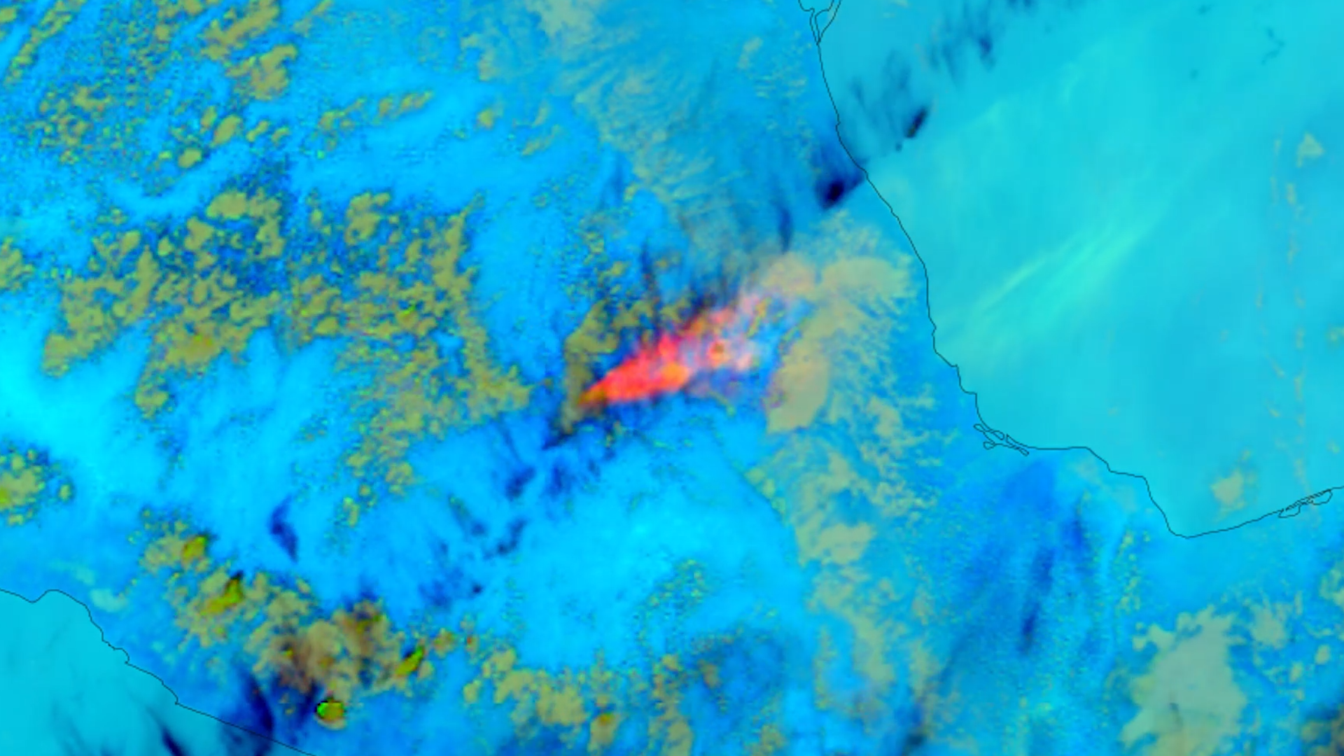
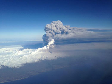
Mexico’s Popocatépetl Volcano, whose name is the Aztec word for smoking mountain, began belching out towering clouds of ash…