
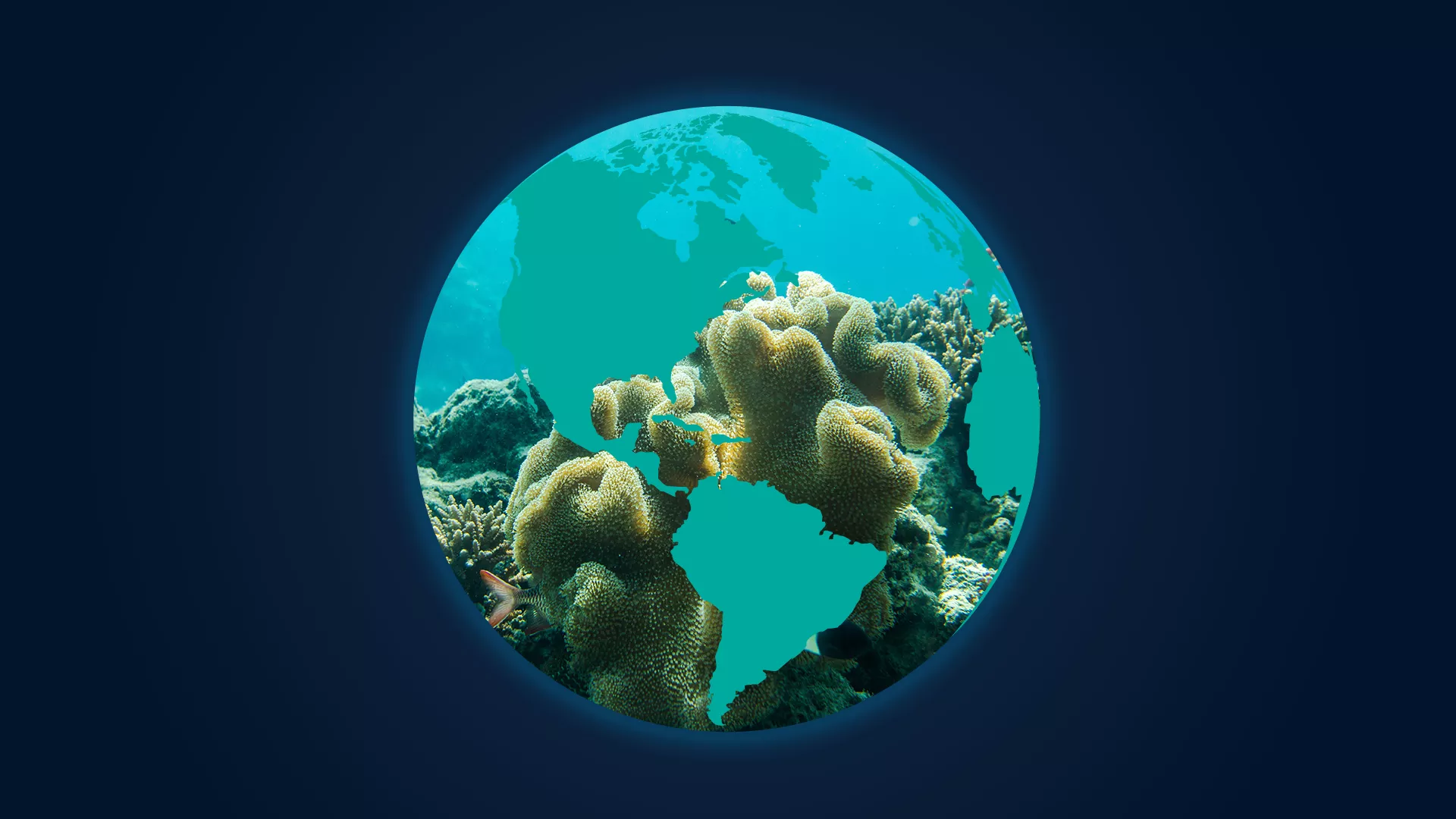
Monitoring our Waters
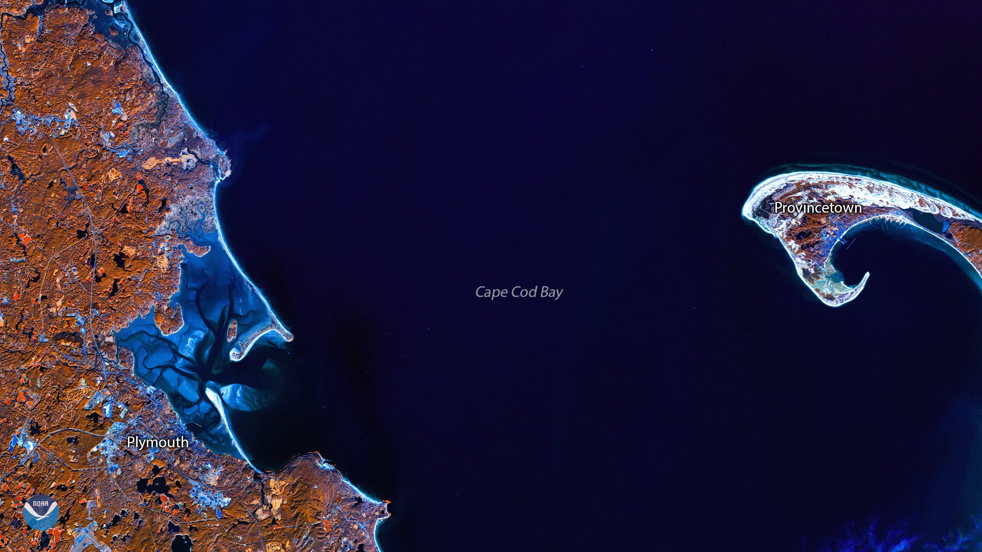
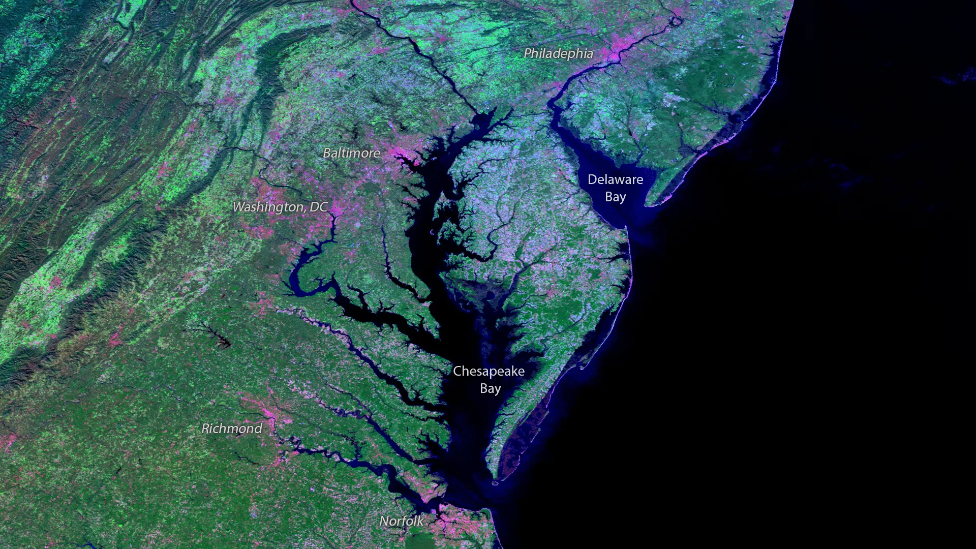
The ocean and large inland lakes play an integral role in many of the Earth's systems, including climate and weather. There are five named ocean basins: Arctic, Atlantic, Indian, Pacific, and Southern, and there is over 95,000 miles of shoreline in the United States alone.
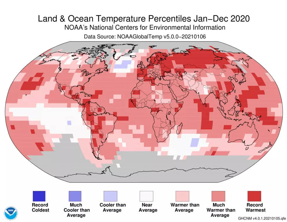
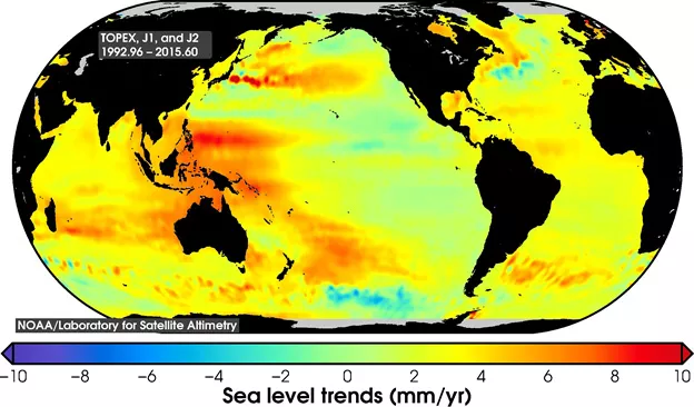
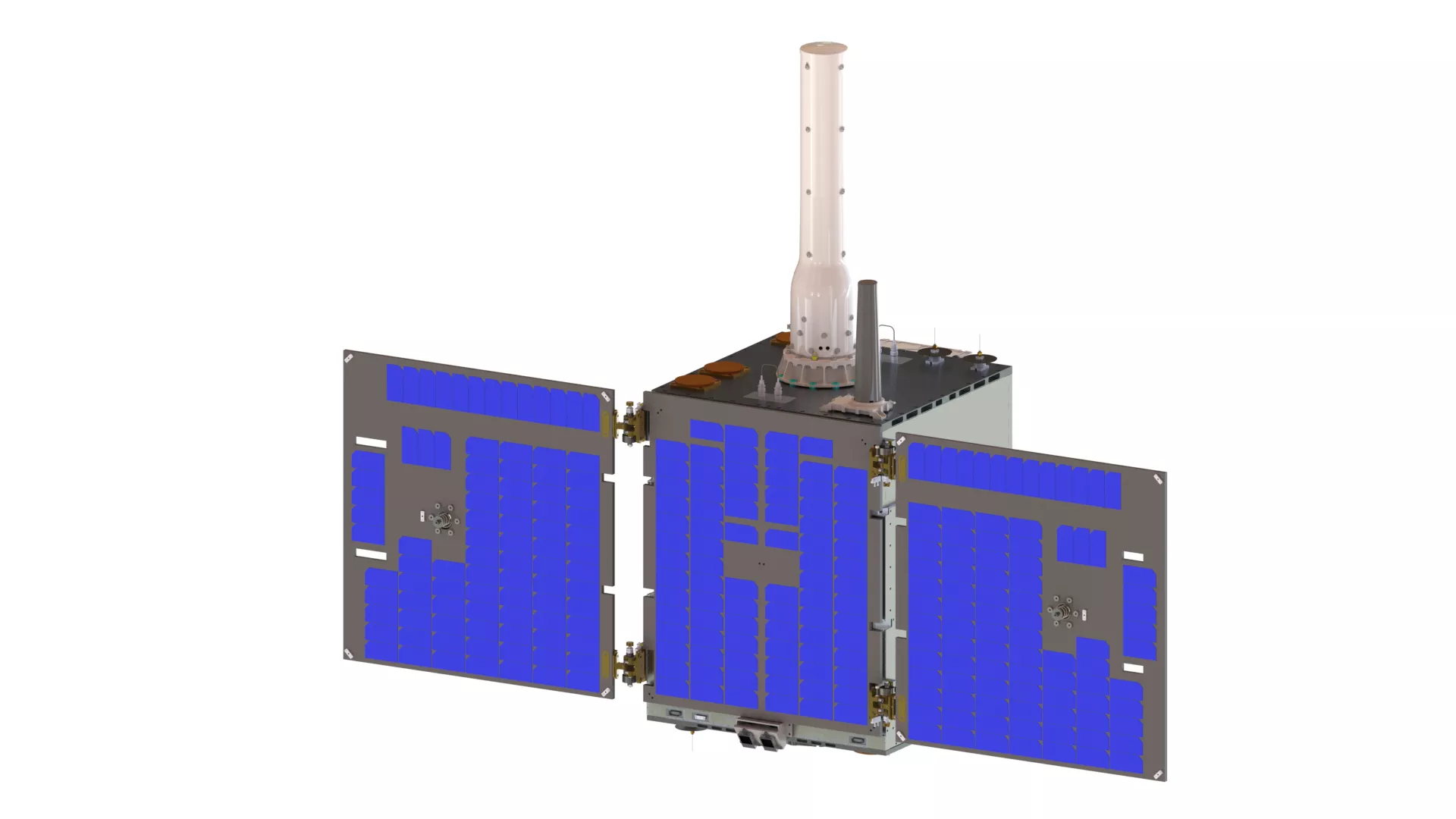
To monitor it all, NOAA satellites are gathering data that can, among other things, monitor gases, temperature, and the biological components of the oceans. Different satellites carry different instruments and measure different parameters. Two widely recognized parameters are sea surface temperatures and winds over ocean waters. Different branches of NESDIS work with the Ocean Service to conduct research using satellite and in-situ observations to infer various oceanic, coastal, climatic, and marine weather processes.
How to Monitor
More Articles on Oceans and Coasts
-
This true-color composite image of smoke from Arctic wildfires spreading across Alaska and Canada…
-
Clear skies over Australia on July 16, 2019, gave the NOAA-20 polar-orbiting satellite an…
-
Tropical Storm Barry, seen here by GOES East on July 12, 2019, at 9 a.m. ET is strengthening over…