
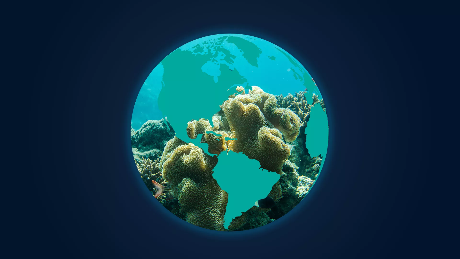
Monitoring our Waters
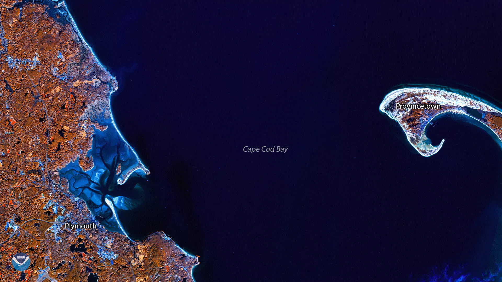
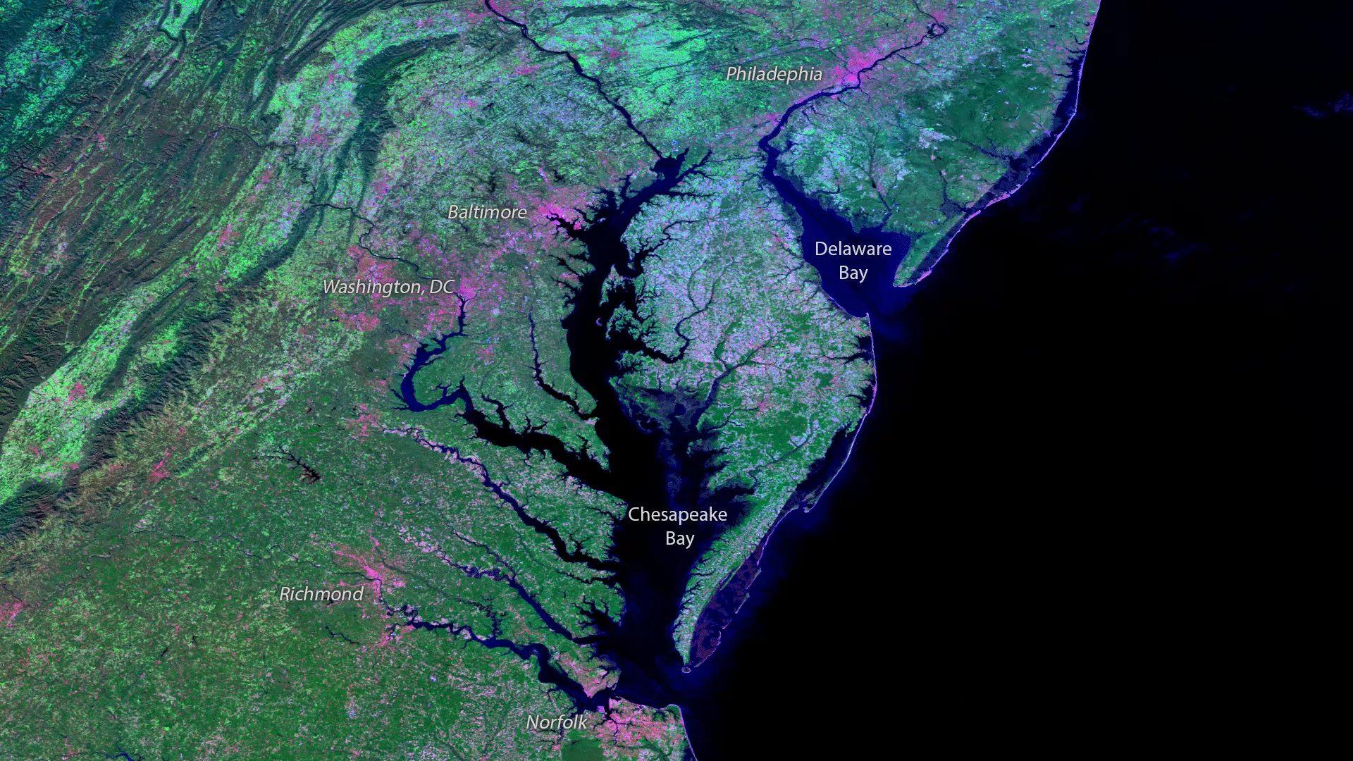
The ocean and large inland lakes play an integral role in many of the Earth's systems, including climate and weather. There are five named ocean basins: Arctic, Atlantic, Indian, Pacific, and Southern, and there is over 95,000 miles of shoreline in the United States alone.
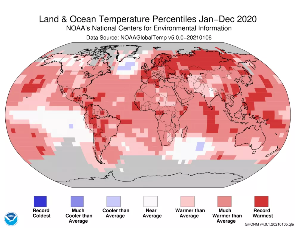
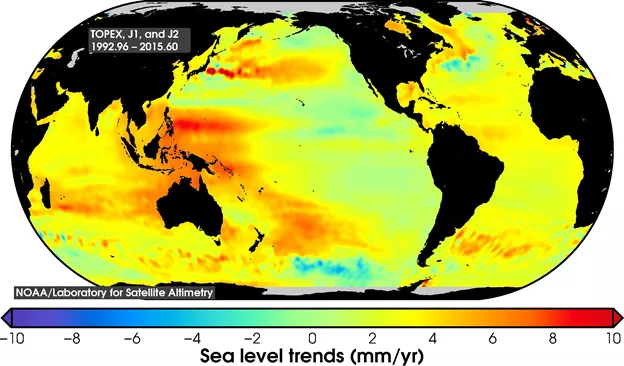
To monitor it all, NOAA satellites are gathering data that can, among other things, monitor gases, temperature, and the biological components of the oceans. Different satellites carry different instruments and measure different parameters. Two widely recognized parameters are sea surface temperatures and winds over ocean waters. Different branches of NESDIS work with the Ocean Service to conduct research using satellite and in-situ observations to infer various oceanic, coastal, climatic, and marine weather processes.
How to Monitor

More Articles on Oceans and Coasts
-
Although we’re inching closer to the peak of hurricane season — which typically occurs in early…
-
A wildfire burning on the Island of Gran Canaria in Spain’s Canary Islands is the worst in six…
-
On February 4, 1979, an iceberg slightly larger in area than the city of Indianapolis was first…