
Dust in the Wind
Satellites are important tools for tracking and studying aerosol particles in the atmosphere made of dust, smoke from wildfires, and volcanic ash. These types of particles can not only affect human health and safety but can also affect the weather and climate by cooling or warming the Earth as well as enhancing or preventing cloud formation. Collectively, these phenomena are monitored by special sensors onboard our geostationary satellites.
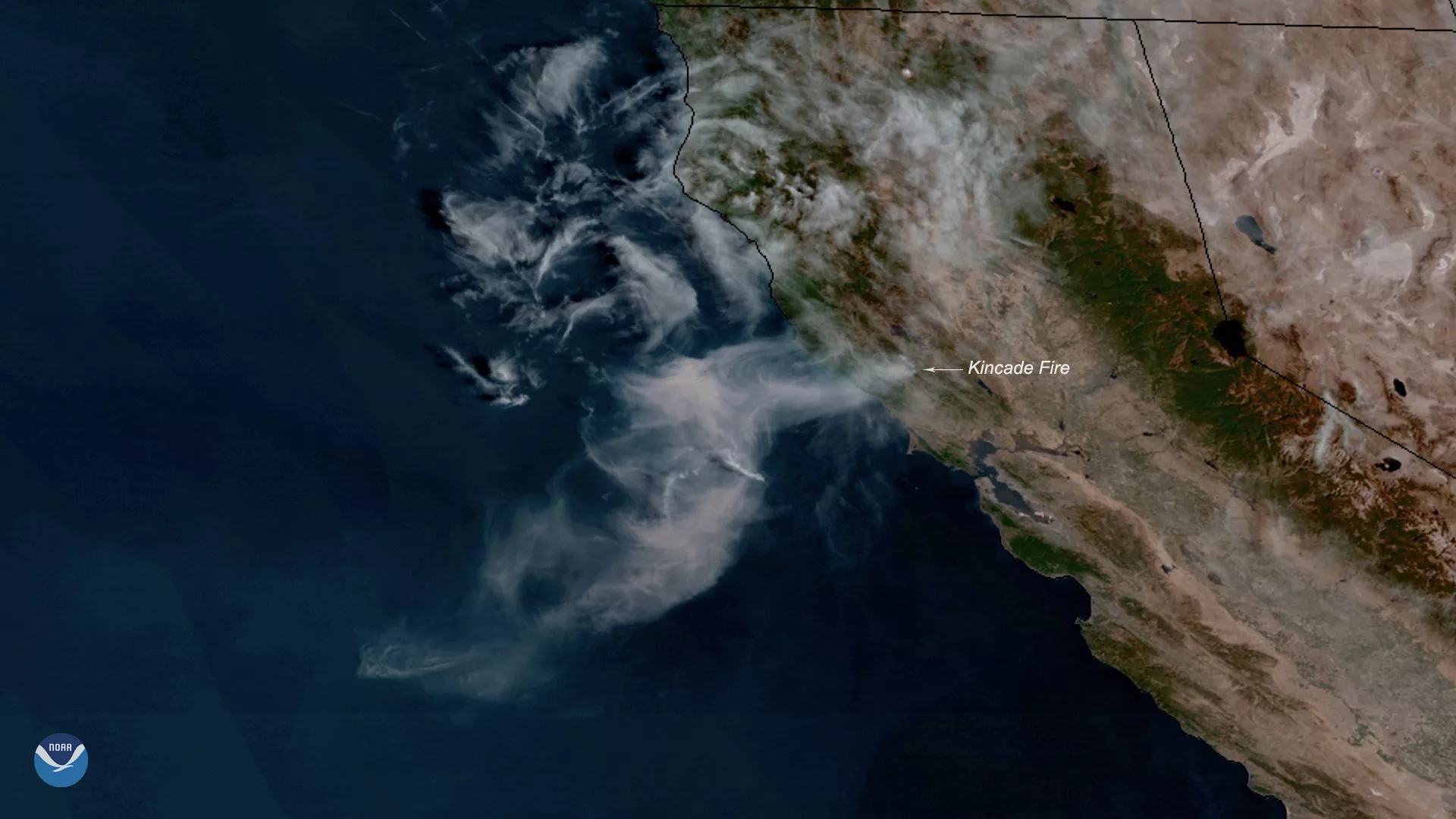
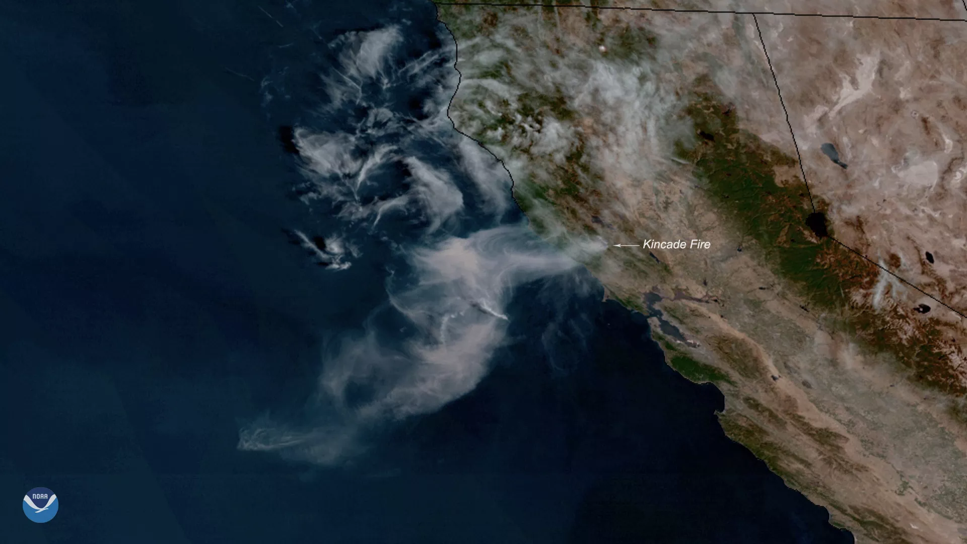
A smoke plume rises from 2019's Kincade Fire in California.
How we track each one
Satellites help scientists track and study dust aerosol particles in the atmosphere. They can affect health, safety, weather, and climate as well as enhance or prevent cloud formation.
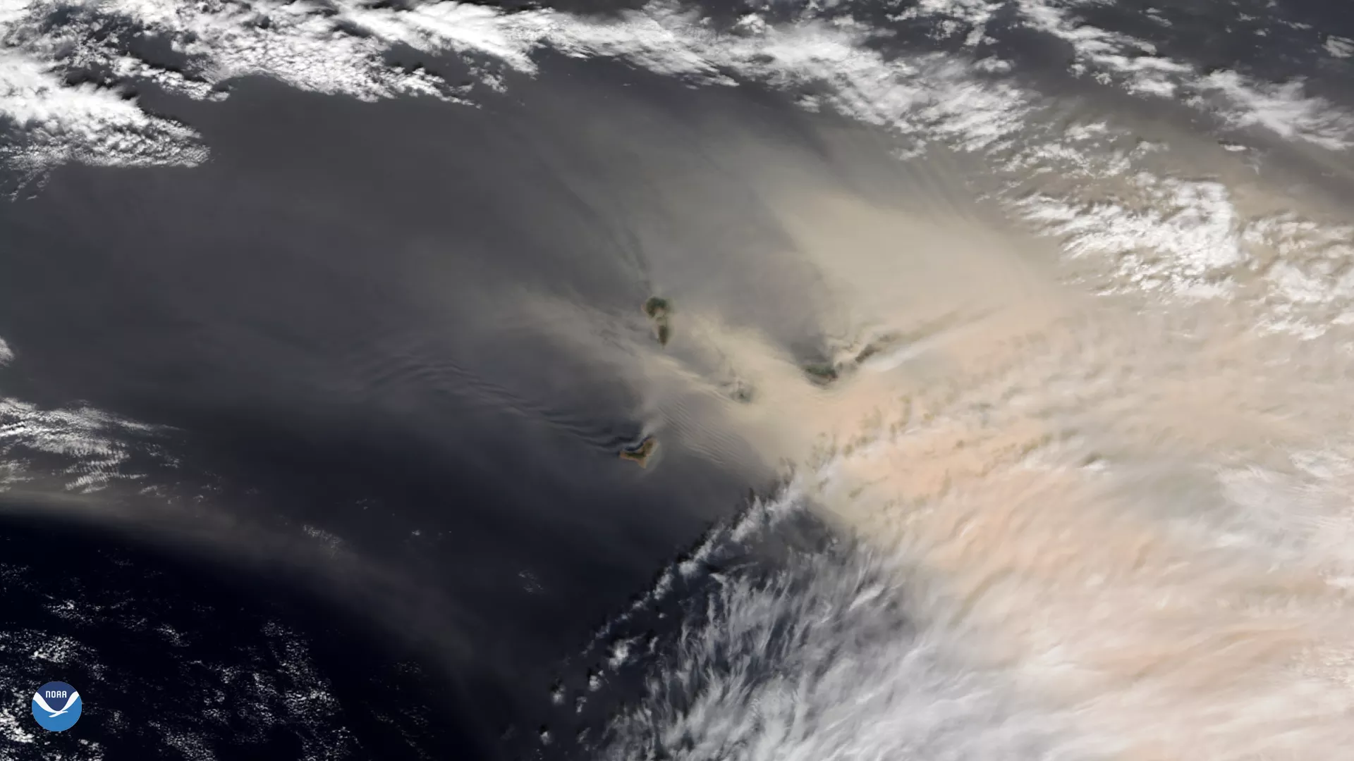
How satellites track dust Dust
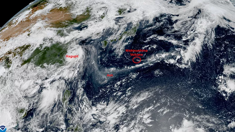
Volcanic ash is hazardous to health, aviation, infrastructure, and the economy. Satellites monitor volcanoes the most isolated areas of the planet and observe changes that may signal an impending eruption as well the location of debris that may result.
How satellites track ash Ash
Satellite imagery allow us to see where fire smoke plumes are, how a fire is growing and moving, and its temperature. It also shows burn scars, or areas burned by fire.
How satellites monitor fires Fire
More Articles on Fire, Dust, and Ash
-
The Himawari-9 satellite, operated by our partners at the Japan Meteorological Agency, monitored…
-
The GEO-KOMPSAT 2A satellite watches strong winds carry a large dust plume from the Gobi Desert.
-
The largest wildfire in Texas’s state history broke out on Feb. 26, 2024 and quickly spread within…