
NOAA’s Near Earth Orbit Network (NEON) Program will develop future low-Earth orbit (LEO) environmental satellites. Low and medium Earth observations are critical for weather forecasting, environmental observation, and public safety. NEON sets the stage for NOAA to manage future polar and other low Earth and medium Earth orbit satellite observations as loosely coupled projects.
Ensuring Life-Saving Environmental Observations
NOAA has a history of successfully operating environmental satellites in low-Earth orbit (LEO) for more than 50 years. NEON will provide a new approach to developing the next generation global environmental satellite system by launching small to medium-sized satellites with Earth-observing instruments more frequently. A resilient constellation of LEO satellites, which can be deployed quickly, will enhance our weather forecasting, and disaster management (fires, floods, etc.).
Continuing Polar Observations

The NEON Program will supplement and eventually replace NOAA’s Joint Polar Satellite System (JPSS). JPSS will continue to operate its series of polar orbiting satellites through the late 2030’s. NEON will lay the groundwork for the next generation of LEO satellites long before the final JPSS launch takes place. NEON will continue, improve and extend NESDIS’ global observations for weather forecasting and disaster management.
Enhancing Partnerships
The Low Earth Orbit (LEO) satellites from NOAA, NASA and international partners contribute to more than a half-century of unbroken climate data records. LEO satellites are the backbone of global long-range weather forecasting models, supplying more than 80 percent of the numerical weather prediction model data used for 3 to 7 day forecasts. These satellites detect and monitor hazards such as fires, droughts, floods, poor air quality, coral bleaching events, unhealthy coastal waters and others. NOAA and its interagency and international partners use LEO data every day to meet ongoing mission needs. The NEON program will usher in a new paradigm for NOAA to continue to provide for these environmental measurements to support a wide variety of atmospheric, terrestrial, marine and polar observations. Data uses include the numerical weather prediction models, fire and flood models, atmospheric chemistry observations and multiple land imagery products that have been crucial pieces of the NOAA strategic goals to build both a “Weather Ready Nation.”
Collaboration Delivers the Mission
NEON is a collaborative mission between NOAA and NASA. NASA will manage the development of the satellites and launch them for NOAA, which will operate them and deliver data to users worldwide. NOAA and NASA will work with commercial partners to design and build the NEON spacecraft and instruments.
Projects
QuickSounder
The first project in the NEON Program series is QuickSounder, which will serve as a prototype for NOAA’s next generation of environmental satellites. This pathfinder mission will demonstrate NOAA's ability to launch a small satellite within three years. QuickSounder will fly a refurbished Advanced Technology Microwave Sounder (ATMS) instrument, the same as those flown on the Joint Polar Satellite System (JPSS) series of satellites. While environmental satellites usually take 10 years or longer to develop and launch, QuickSounder is expected to launch in mid-2026, less than 27 months after NOAA and NASA awarded its contract for development.
Series-1
The second NEON project, Series-1, will fly the program’s first new instrument, the Sounder for Microwave-Based Applications (SMBA). SMBA will serve as the backbone microwave sounder for the NEON Program.
Instruments
Microwave Sounders
Microwave sounders, like the ATMS and SMBA instruments, will be the first NEON instruments launched, because they provide the highest-impact input data to weather forecast models. Microwave sounders are key instruments to feeding the weather models that inform our daily forecasts and help us plan for extreme weather. They measure atmospheric temperature and water vapor from Earth's surface to the upper atmosphere, all over the globe. Microwave sounders probe the atmosphere vertically and are able to see through clouds to capture data on temperature and moisture. Because the distribution of temperature and water vapor is the driver for accurate weather forecasts, microwave sounders provide one of the most critical datasets for weather prediction.
Additional instruments will later be included in future NEON projects to provide a variety of critical environmental observations.
Ground Services
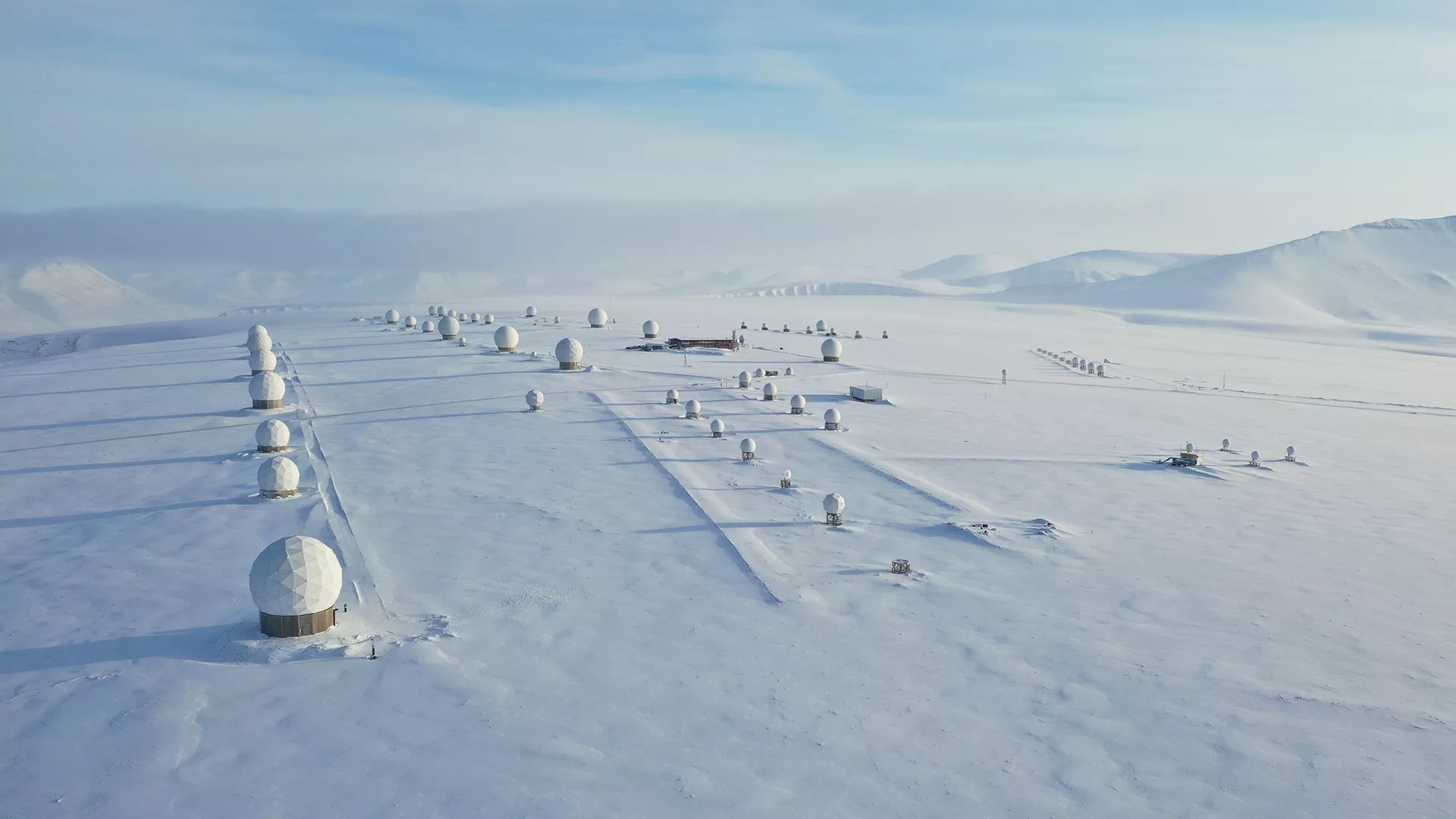
In addition to including satellites that host Earth-observing instruments, the NEON program will also include ground services, such as command and control, data processing and product distribution. The ground services will incorporate commercial capabilities and enterprise ground system capabilities.