
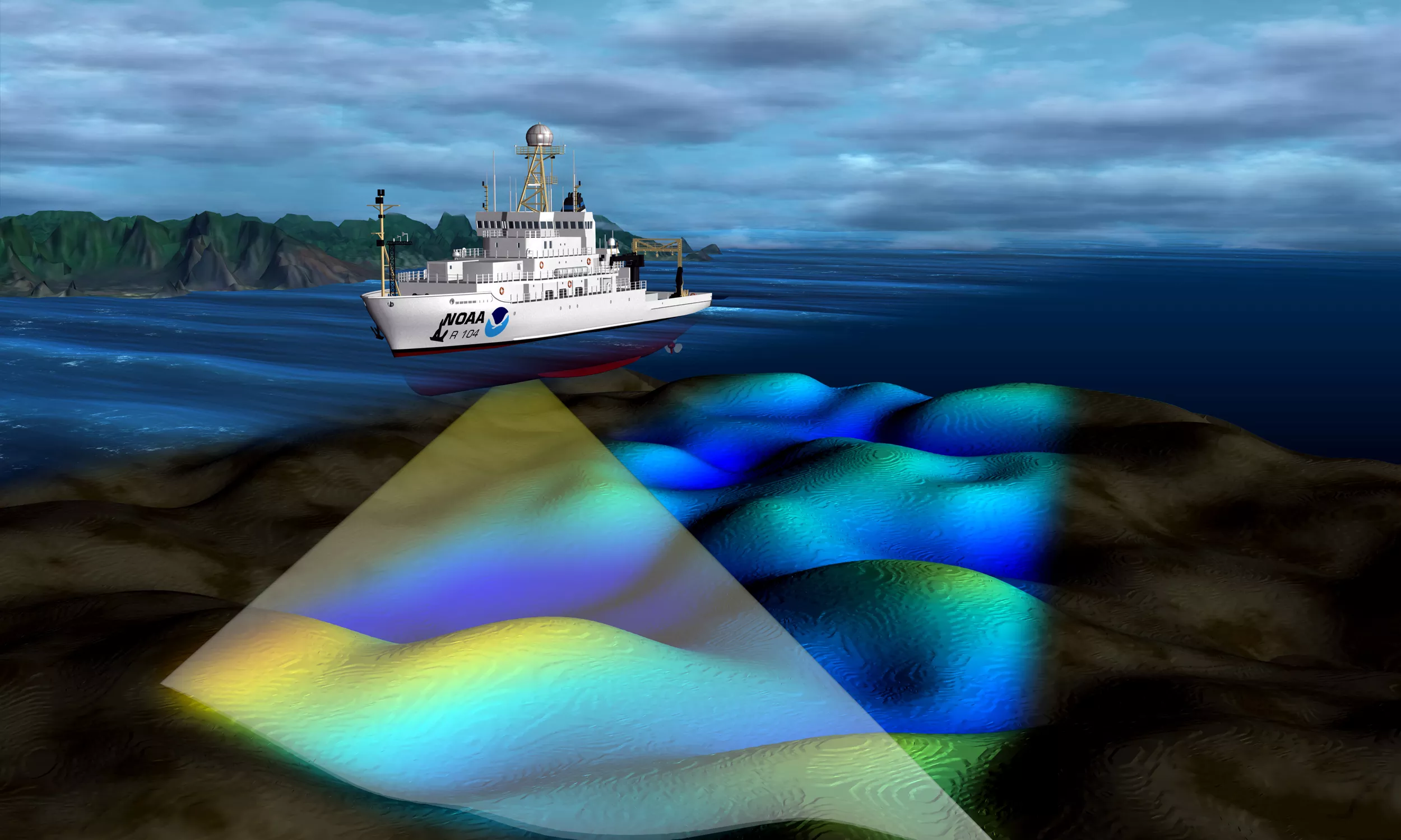
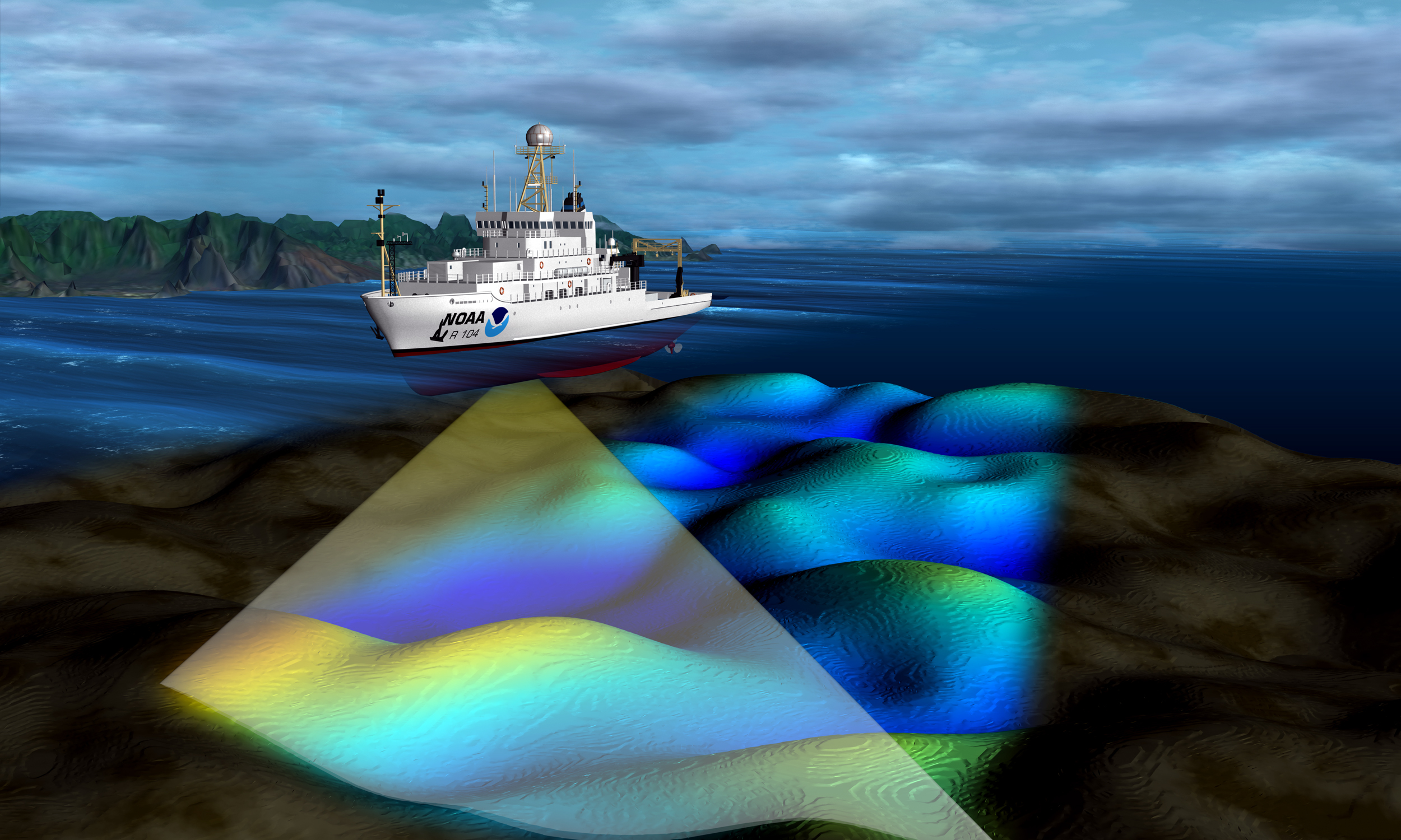
The Office of Coast Survey, part of the National Ocean Service, conducts missions to chart the coasts and ocean bottom along U.S. territories, including accurate mapping of ports and shipping lanes. This image shows a NOAA vessel using multi-beam sonar to measure the depth of the seafloor.